
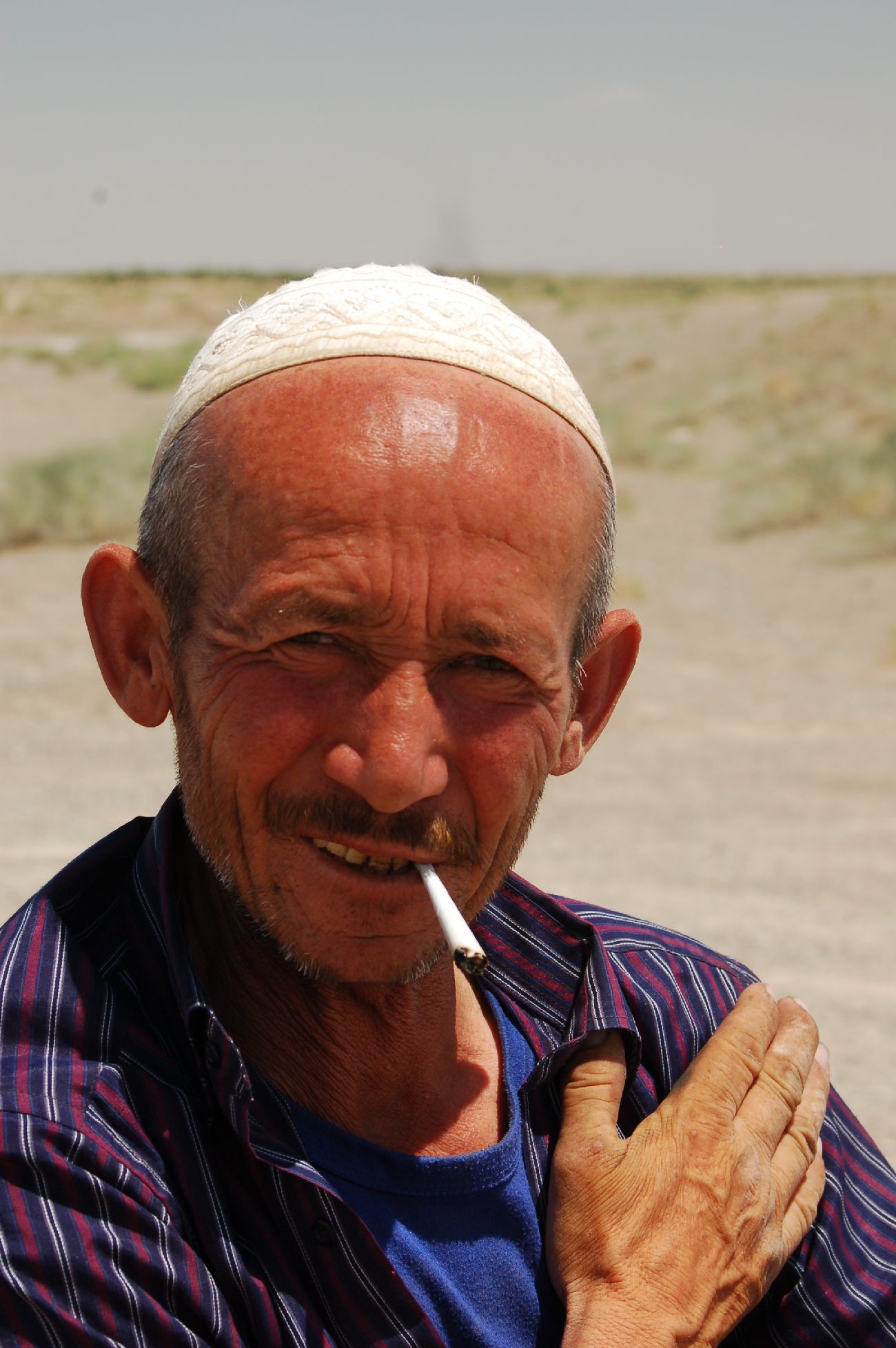
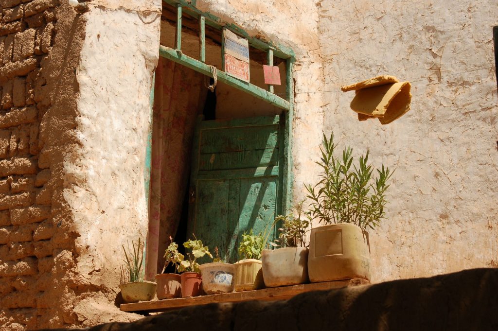
These days Xinjiang is mostly known from the reports of state surveillance, repression and Chinese “re-education camps” for the local ethnic Uighurs. I traveled around Xinjiang several years ago, when the situation was more stable and you could move around the region relatively freely.
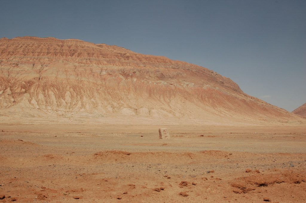
Xinjiang is massive – about 5 times larger than Germany – and largely covered by deserts or mountains, so getting anywhere takes a lot of time but once you get there the scenery tends to be stunning, especially as you get closer to the Himalayas. Ethnically and culturally it is quite distinct from what someone pictures in their head when they hear “China”; many places might as well be in Afghanistan.
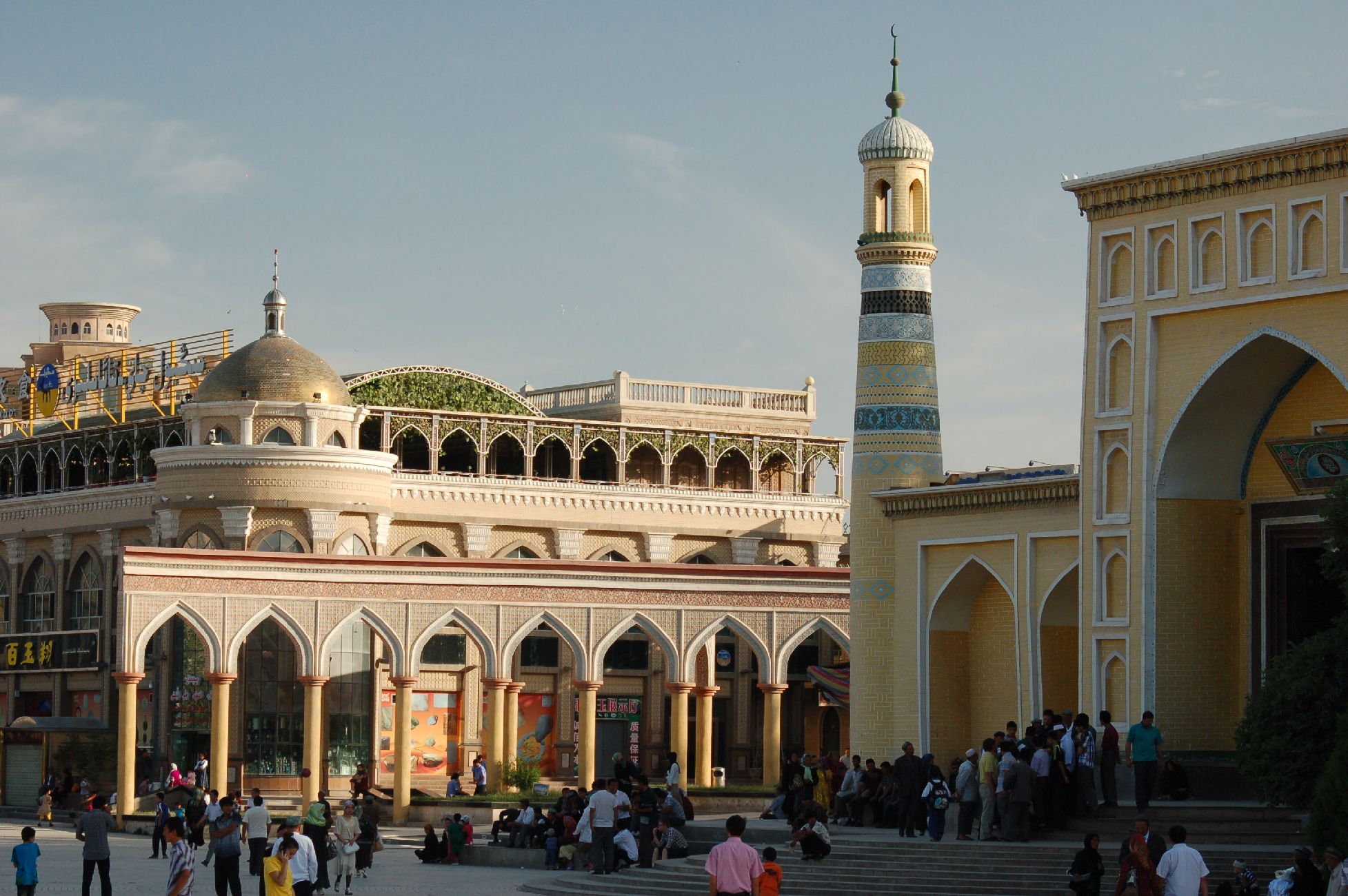
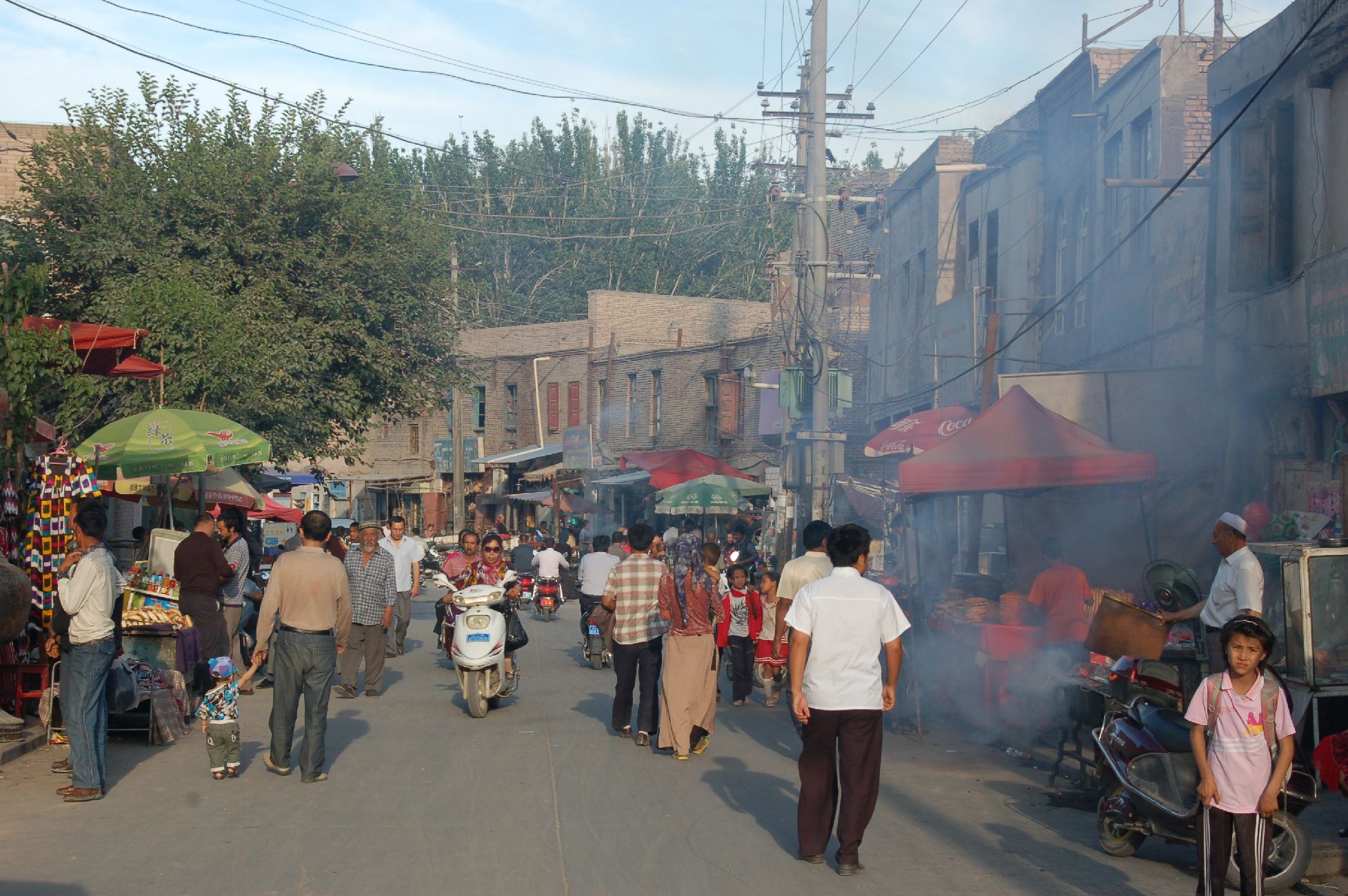
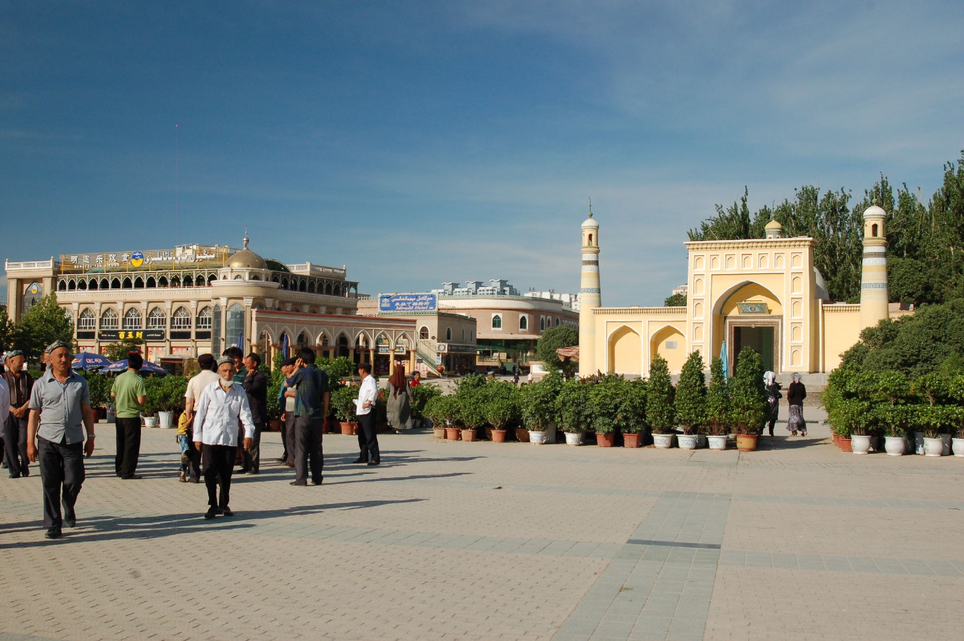
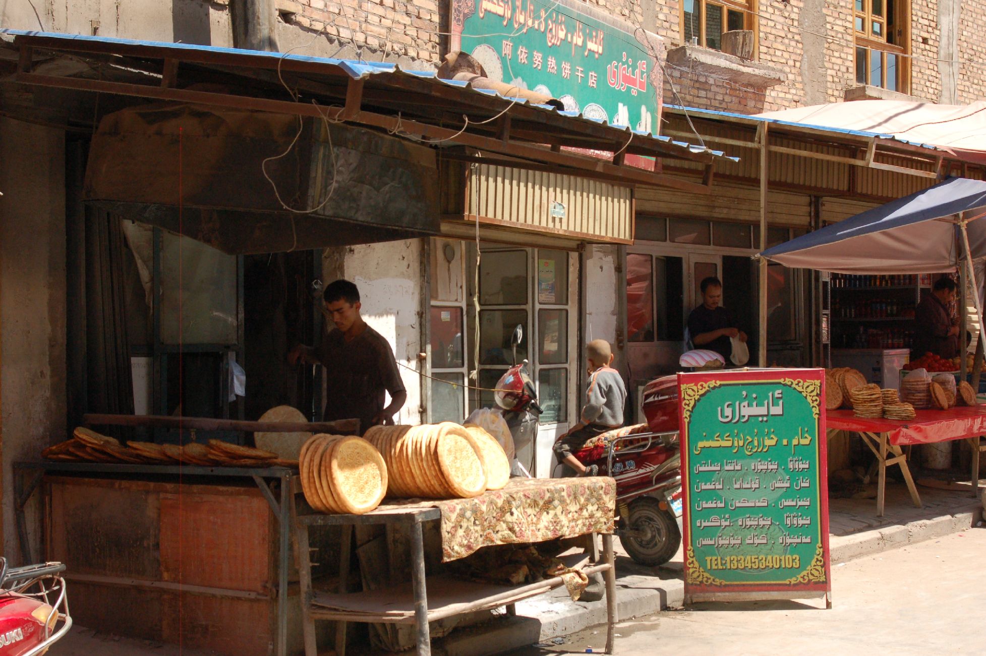
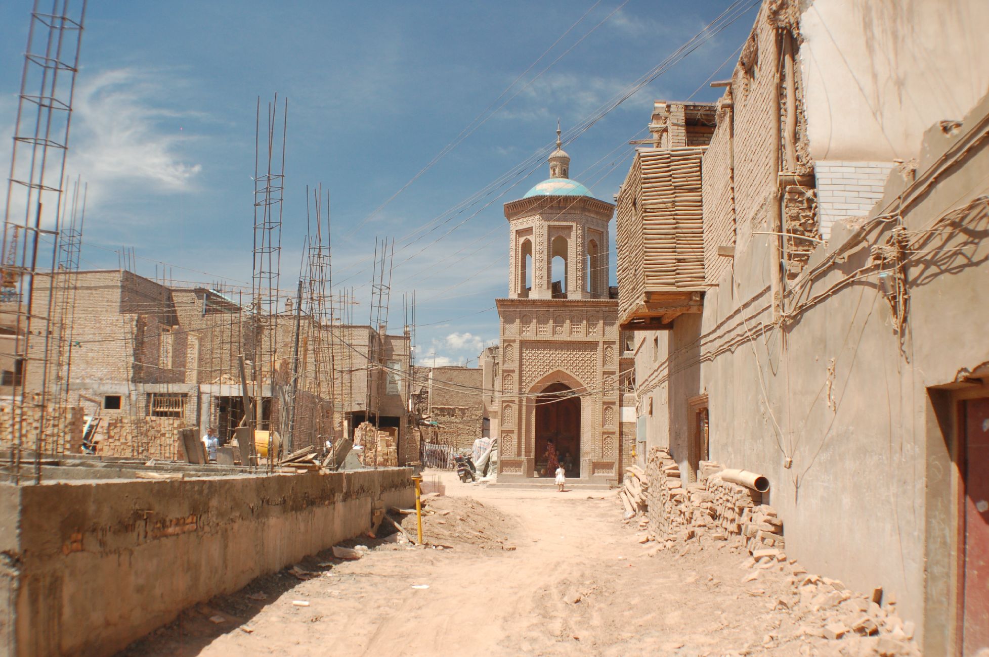
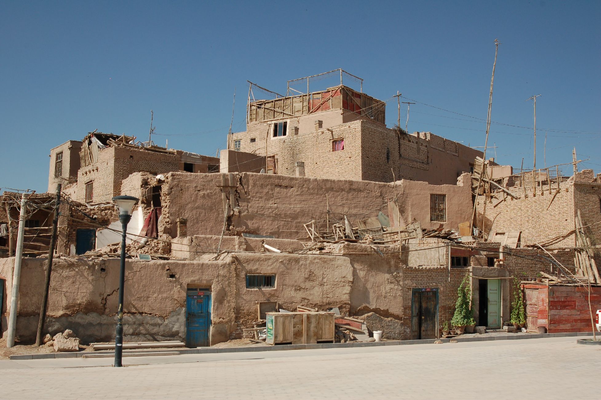
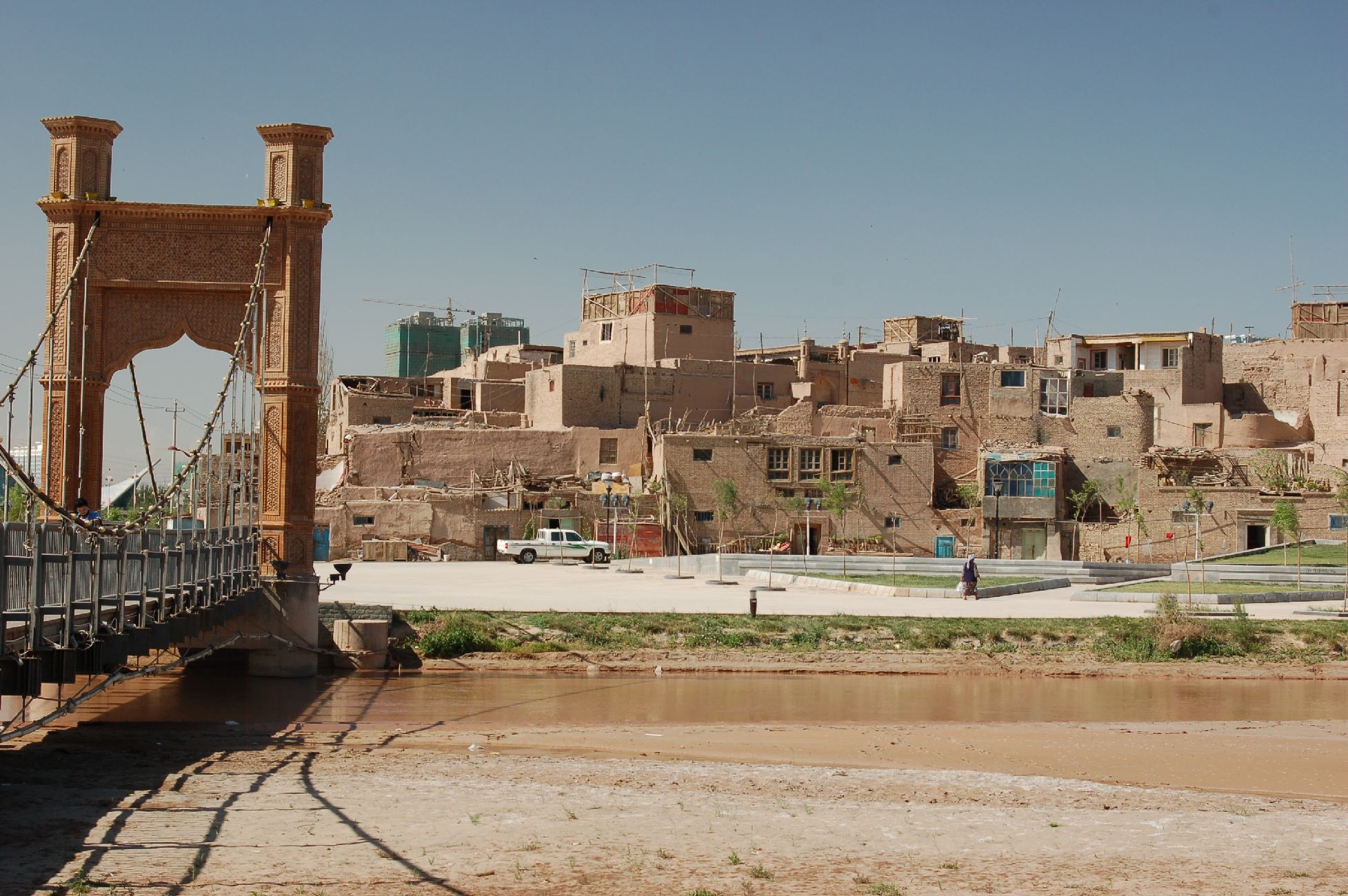
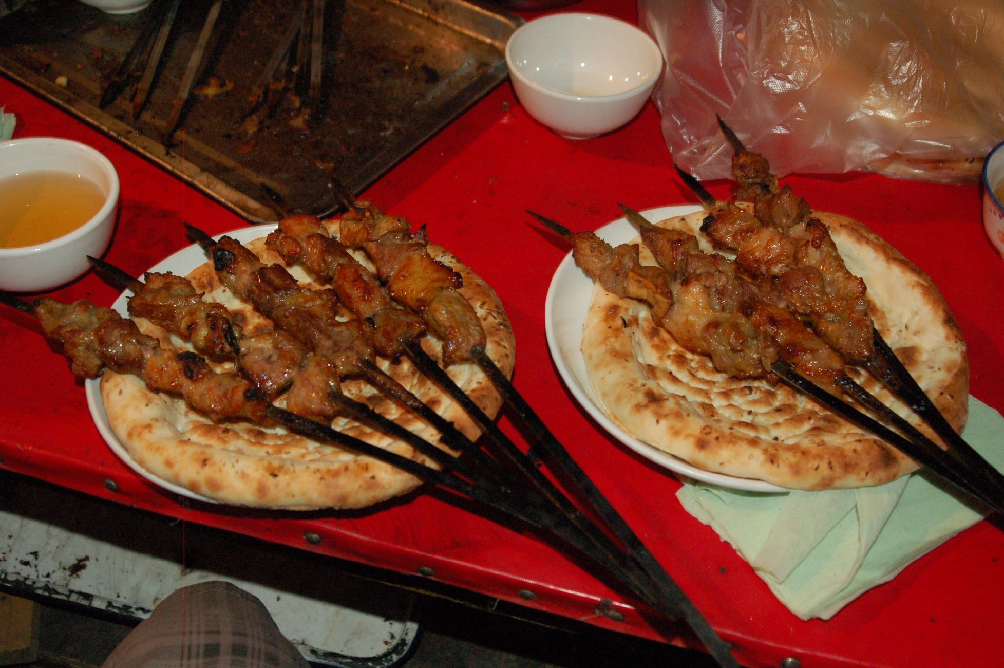
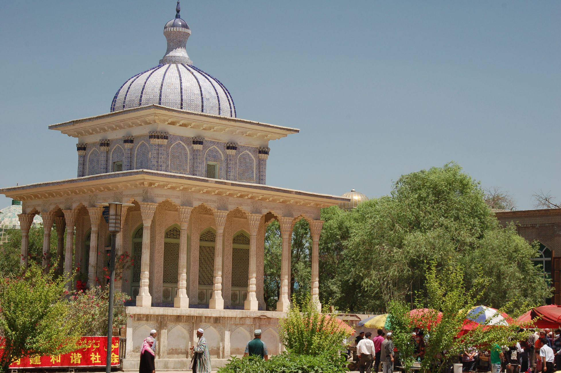
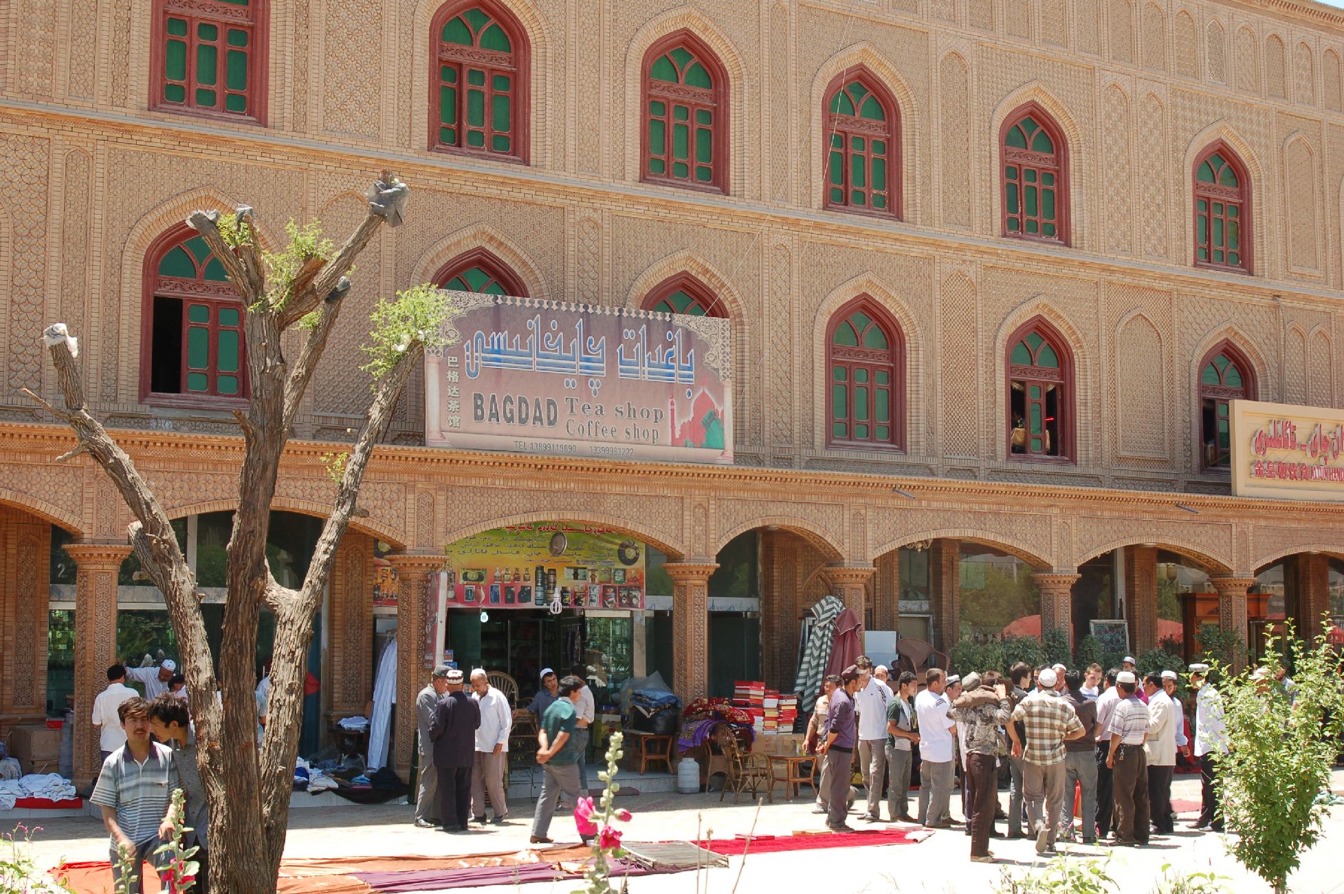
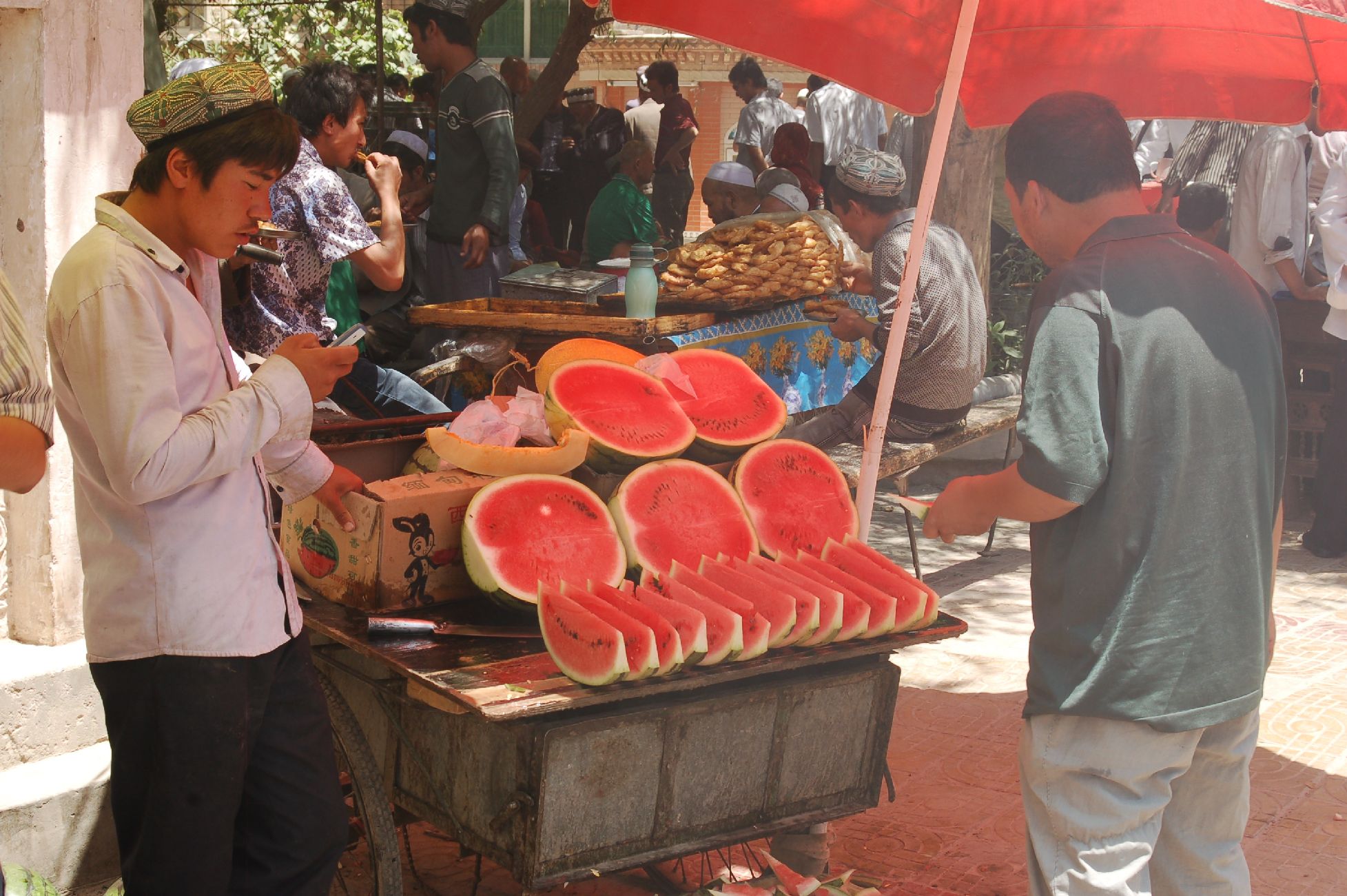
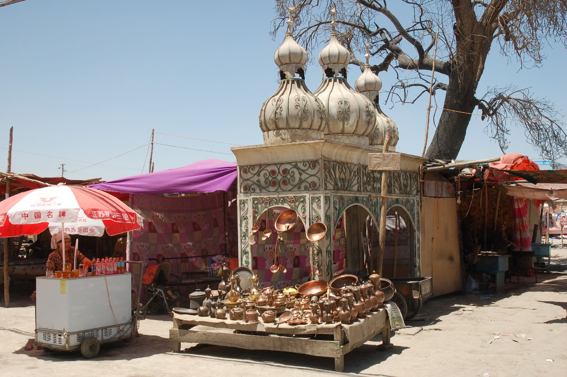
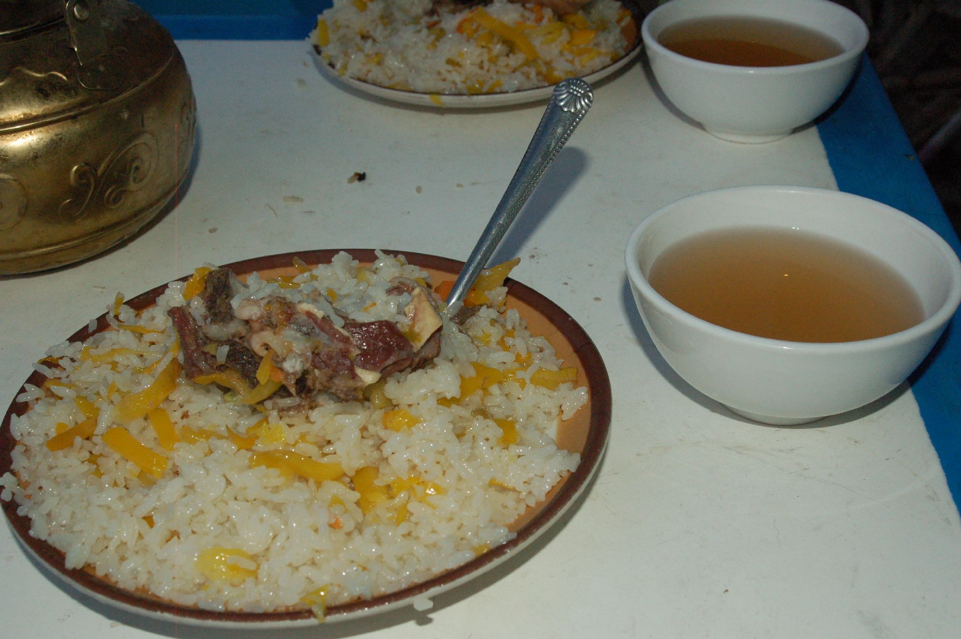
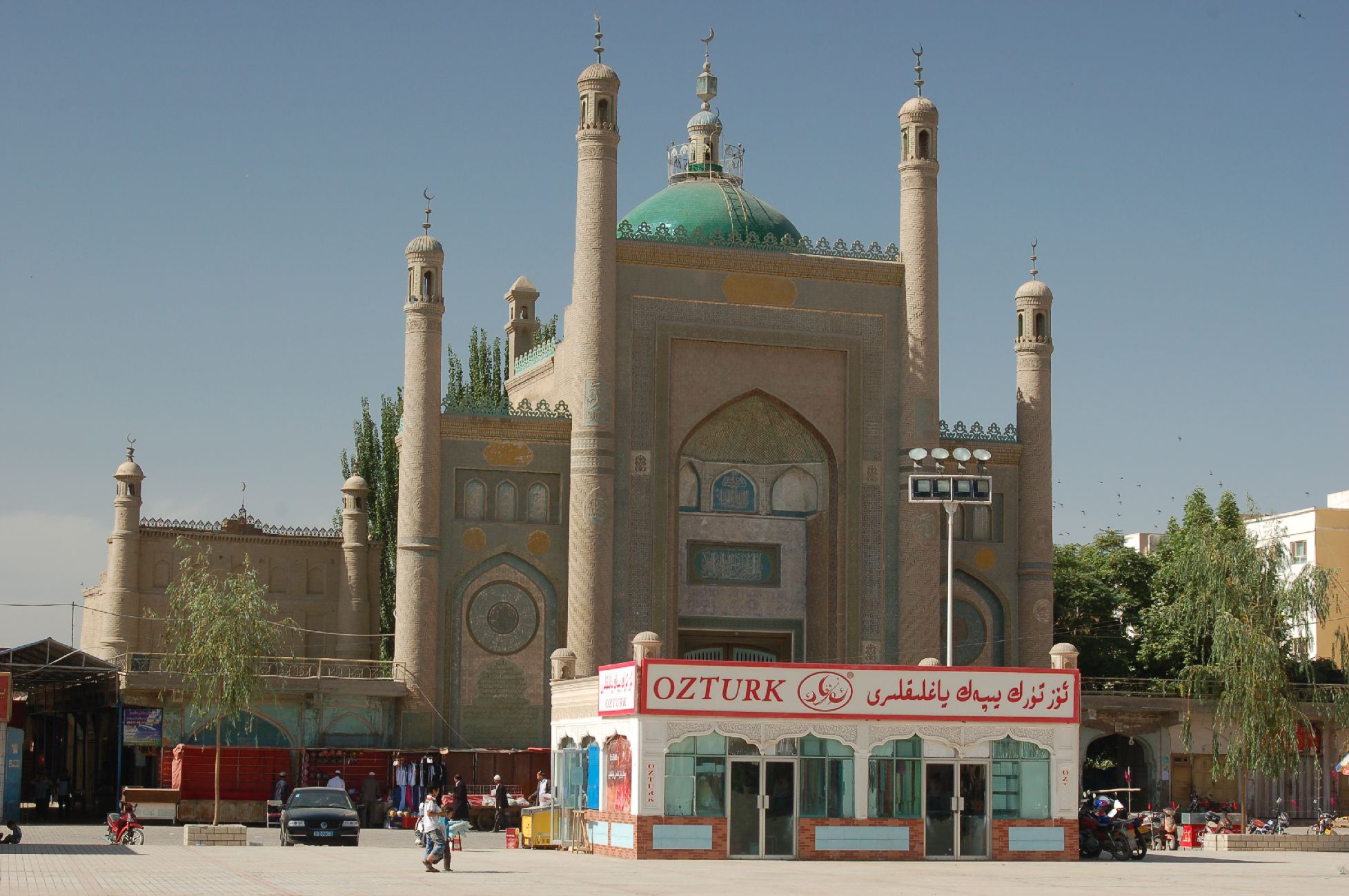
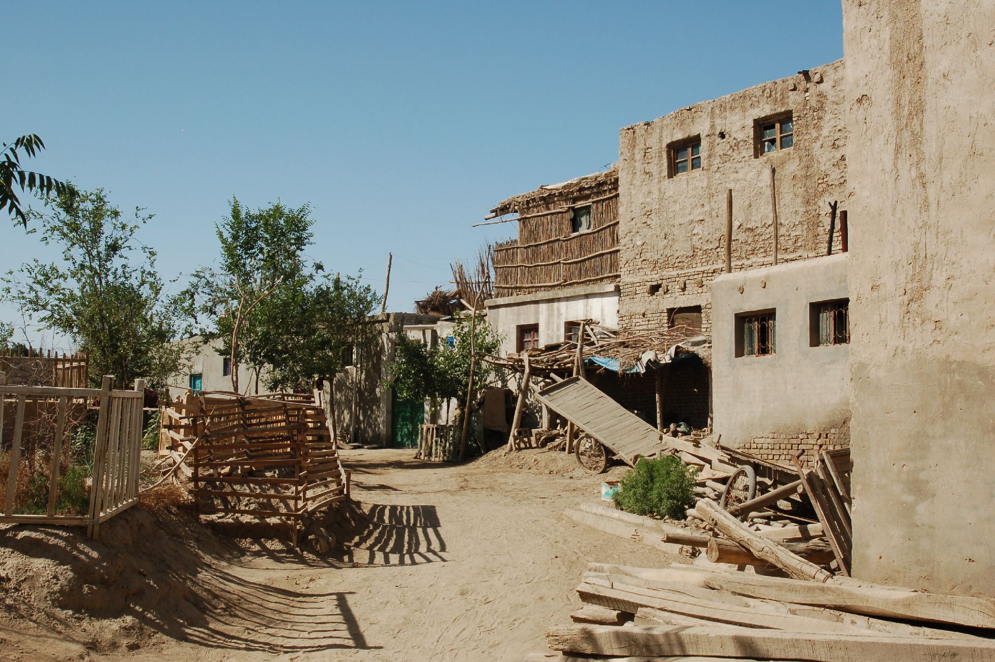
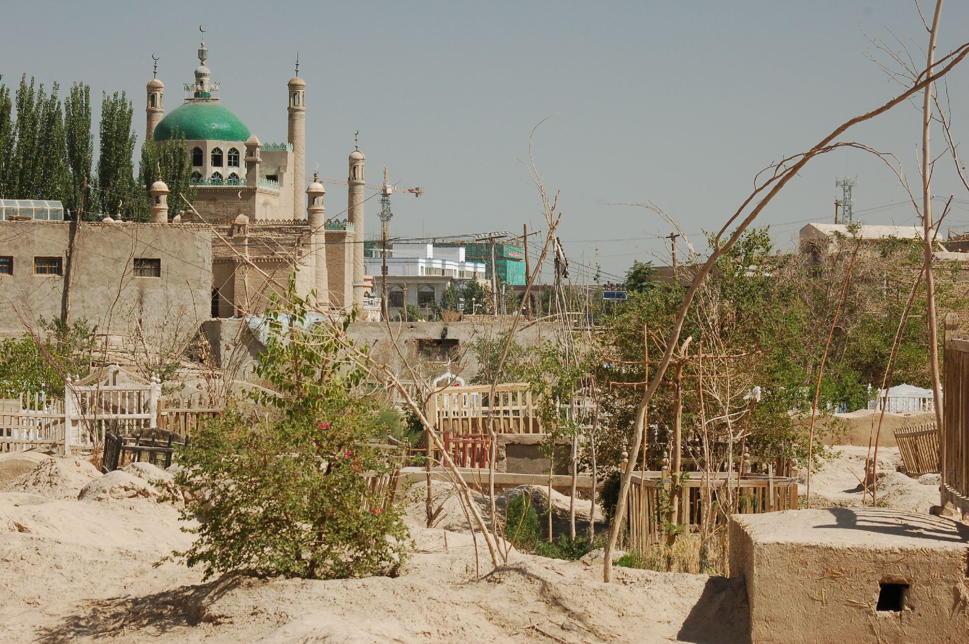
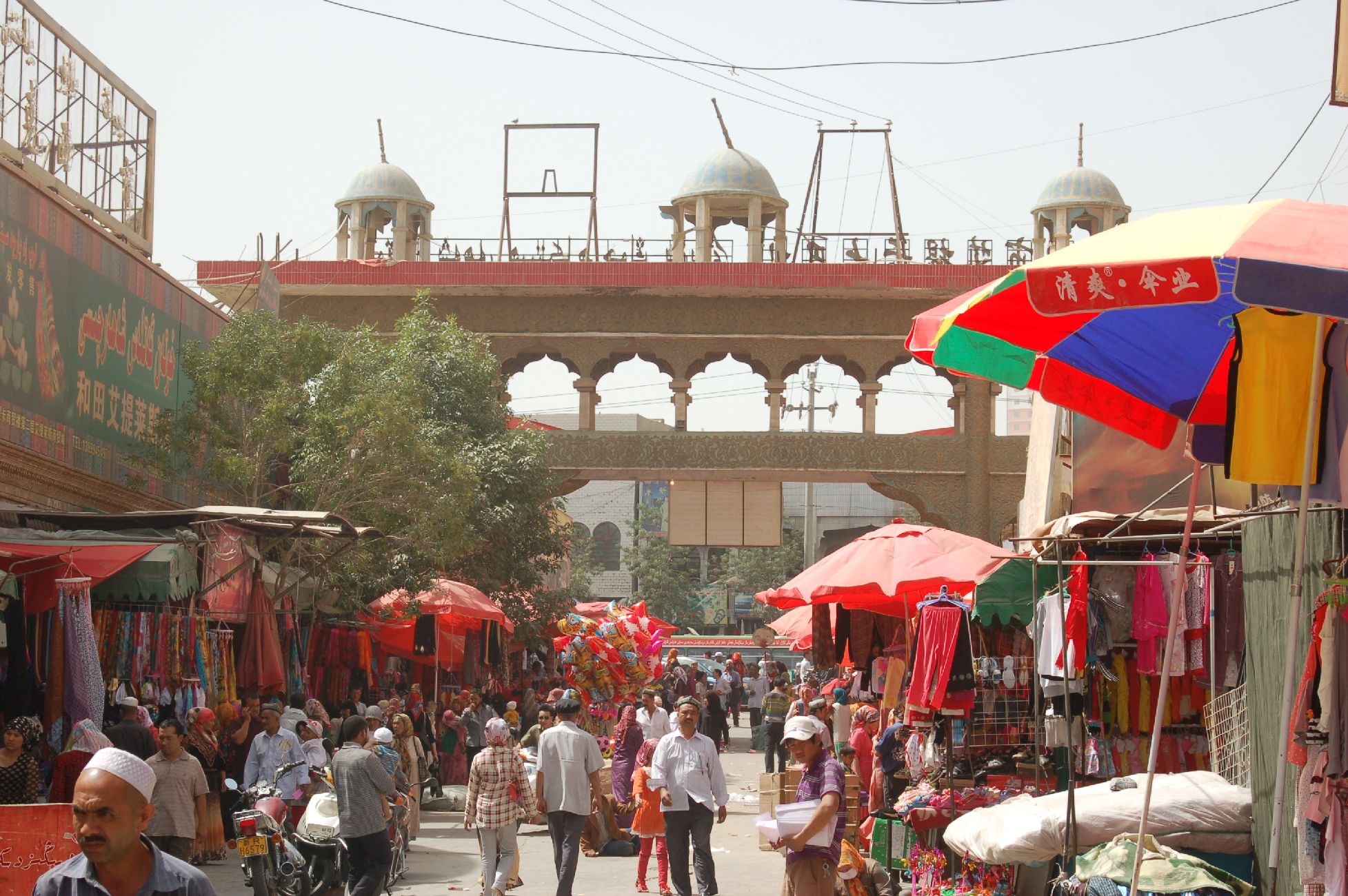
Kashgar
Kashgar – one of the major stops on the old Silk Road; near the borders of Kyrgyzstan and Tajikistan. 4,000km from Beijing and 800km from Kabul
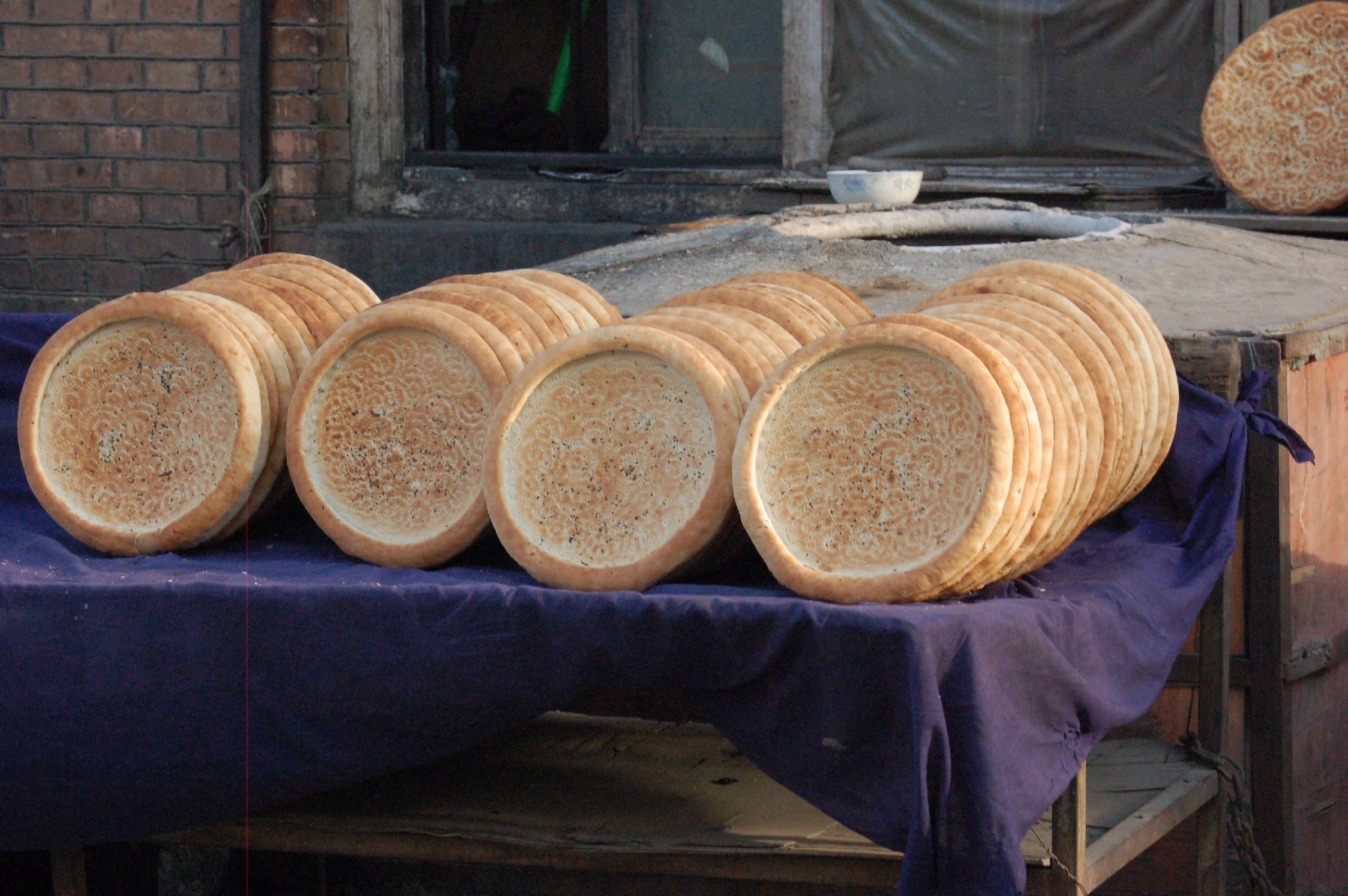
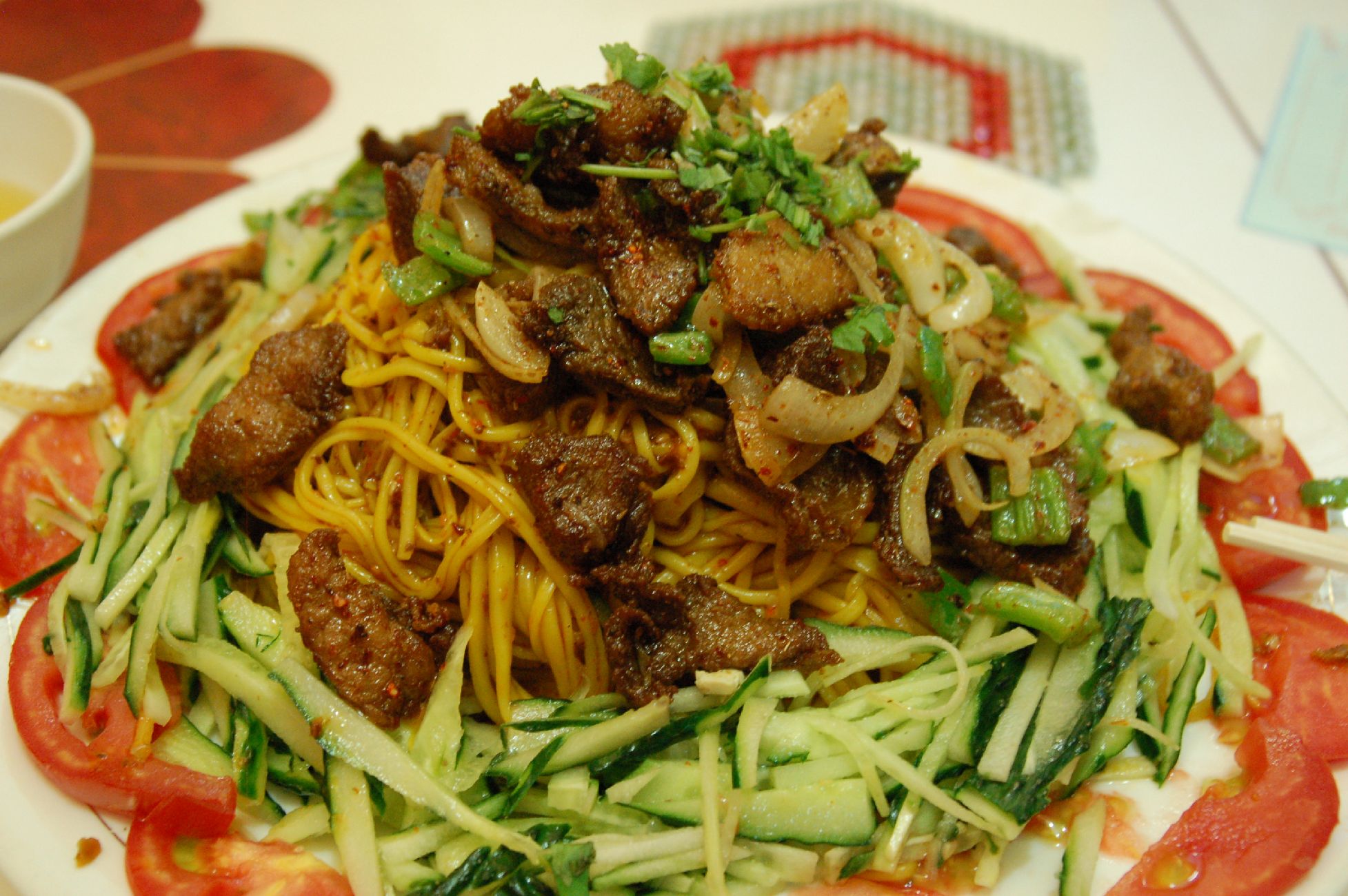
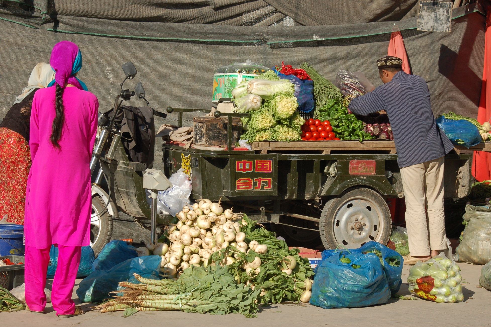
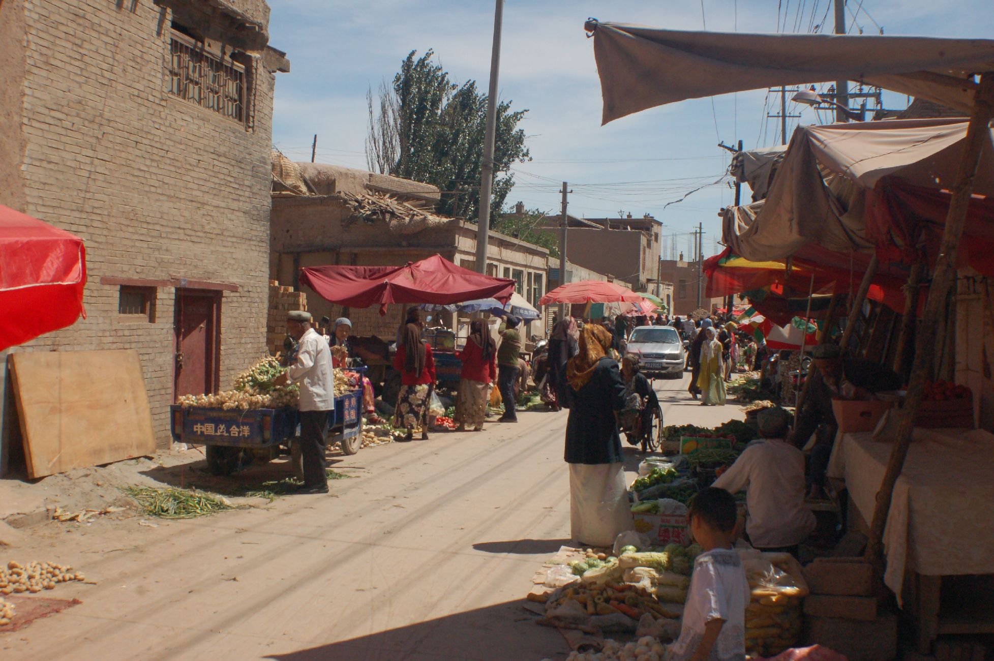
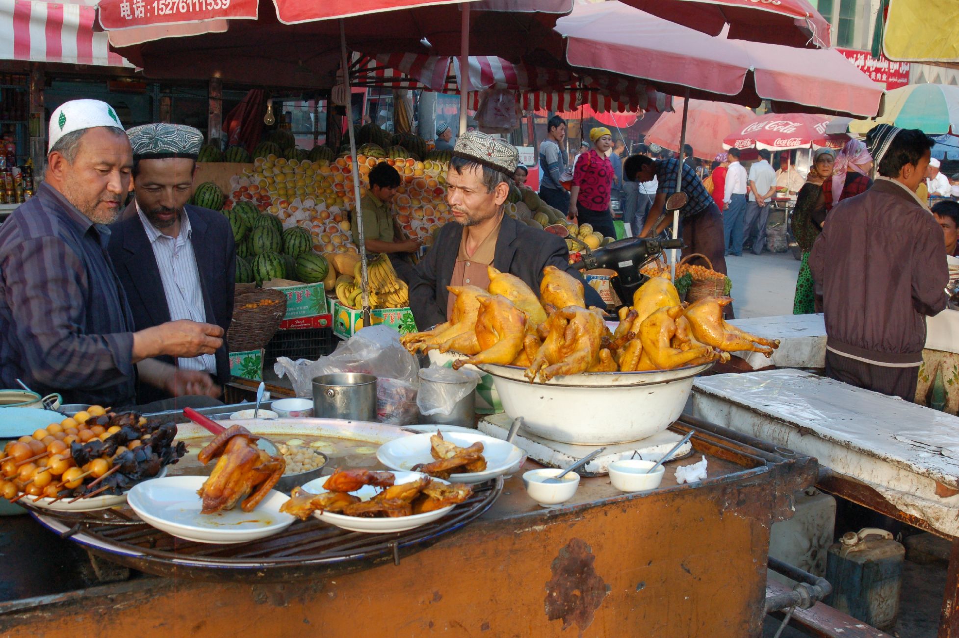
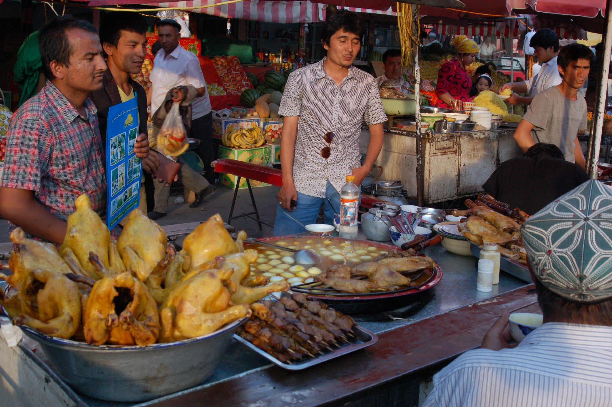
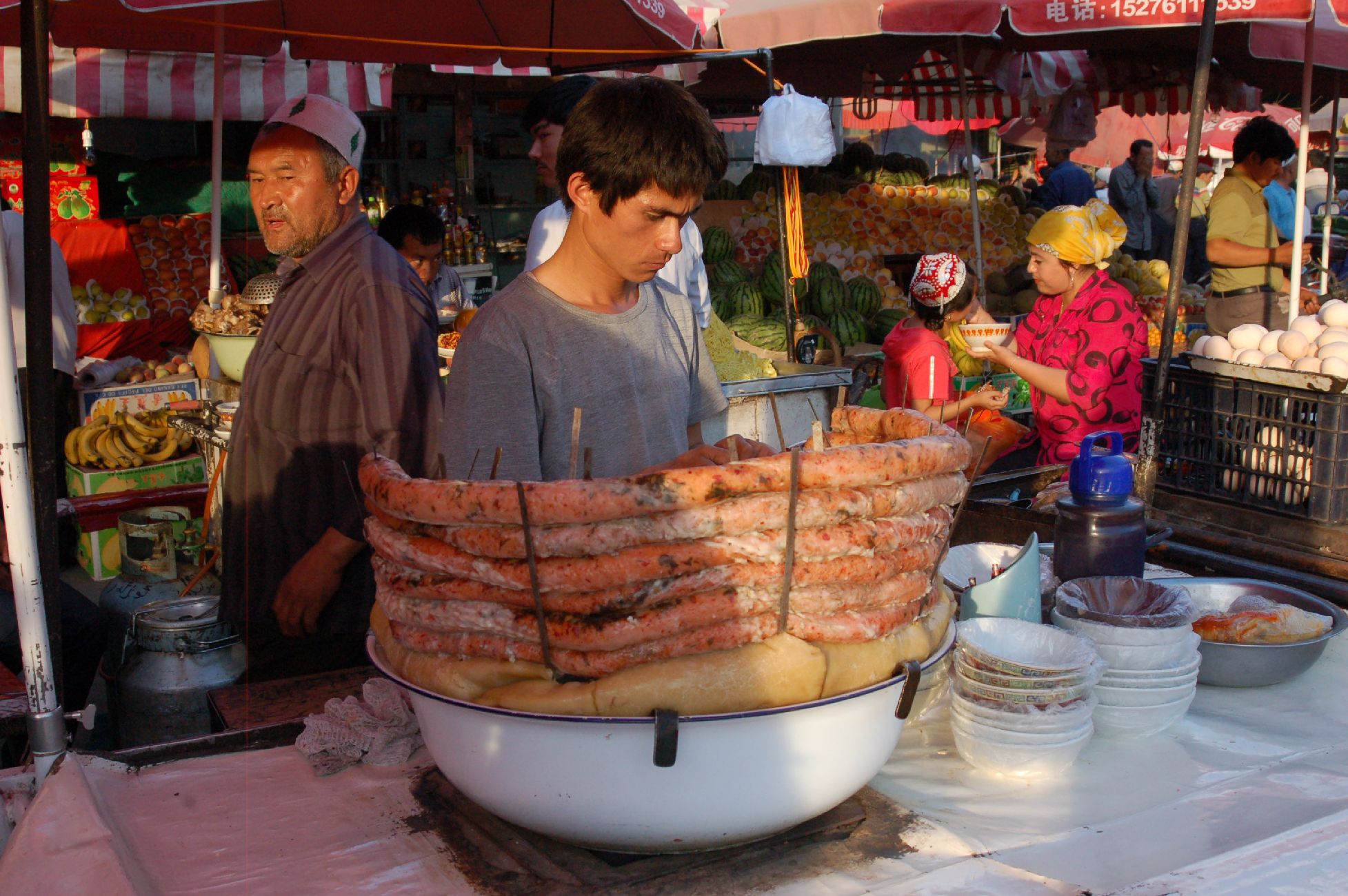
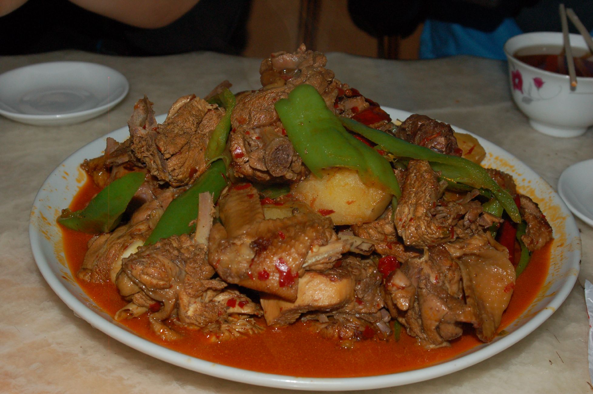
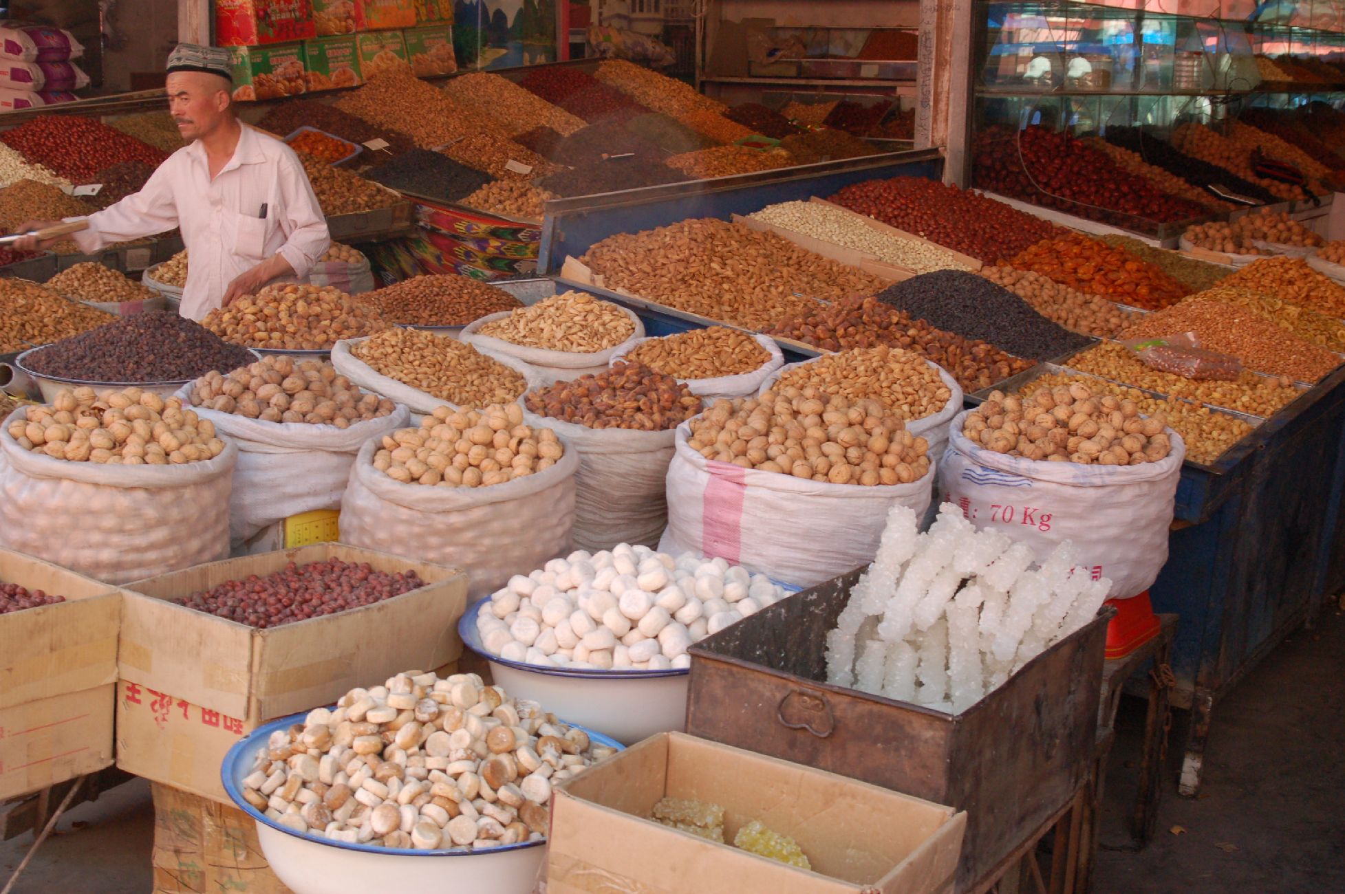
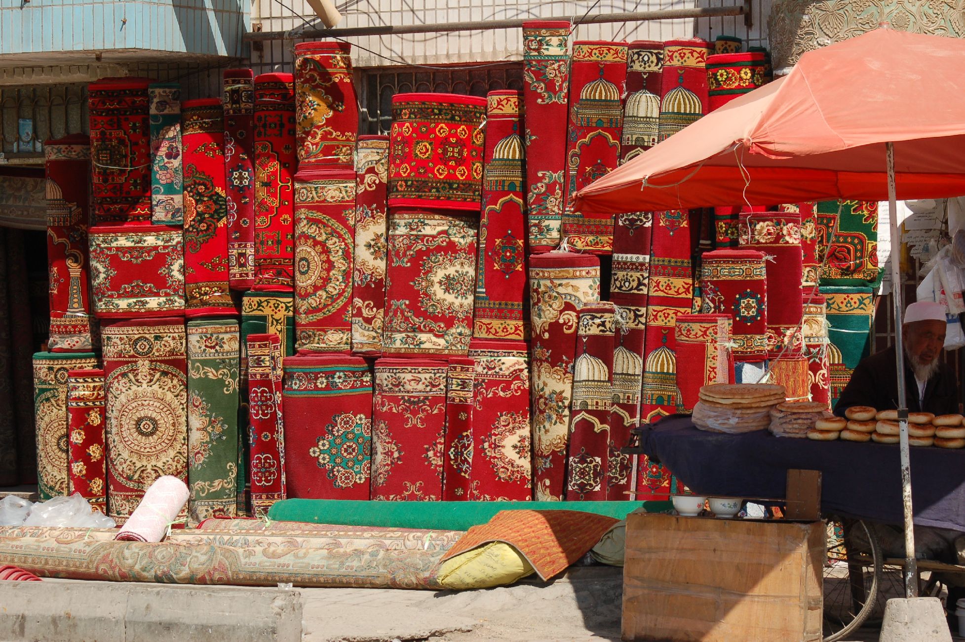
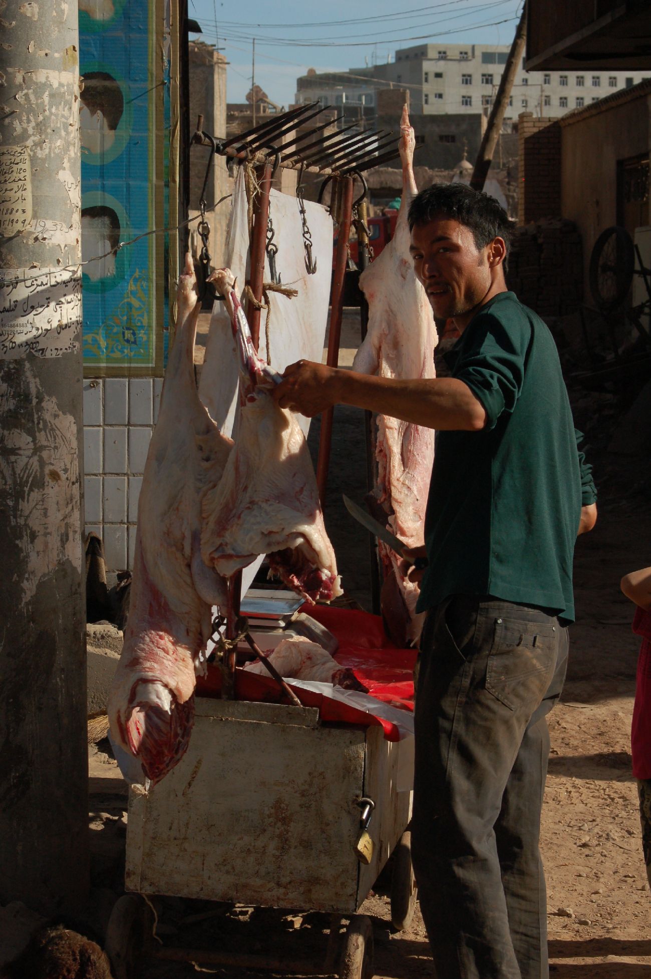

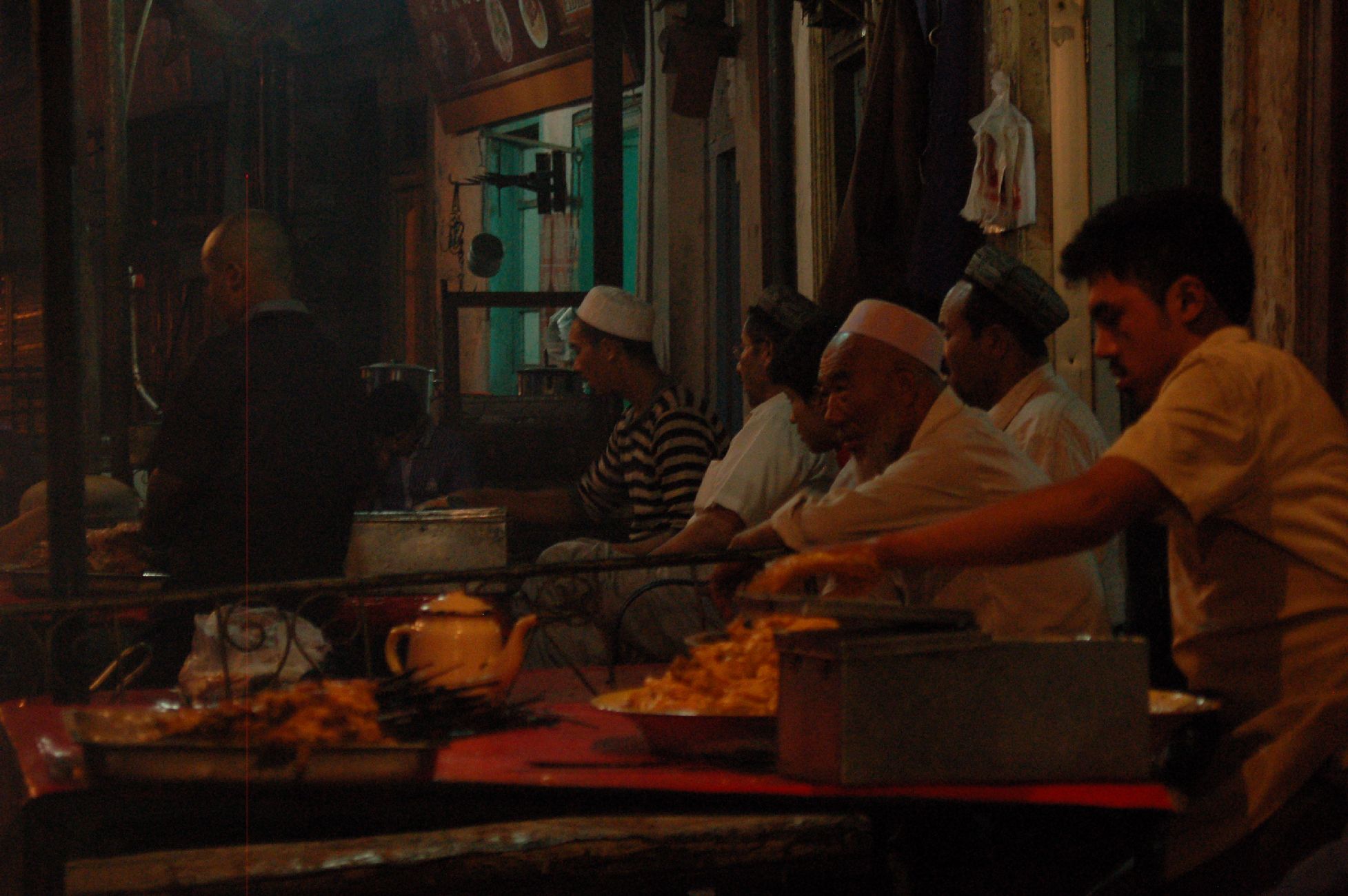
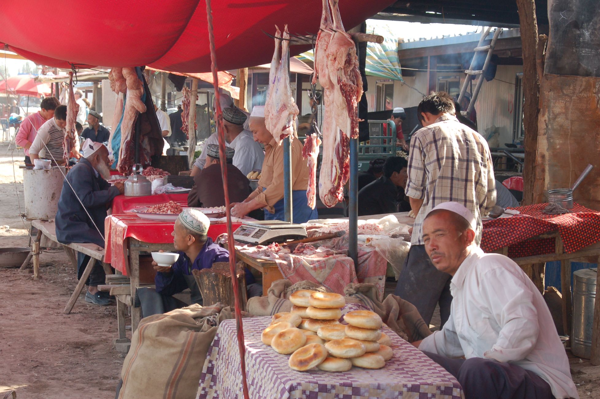
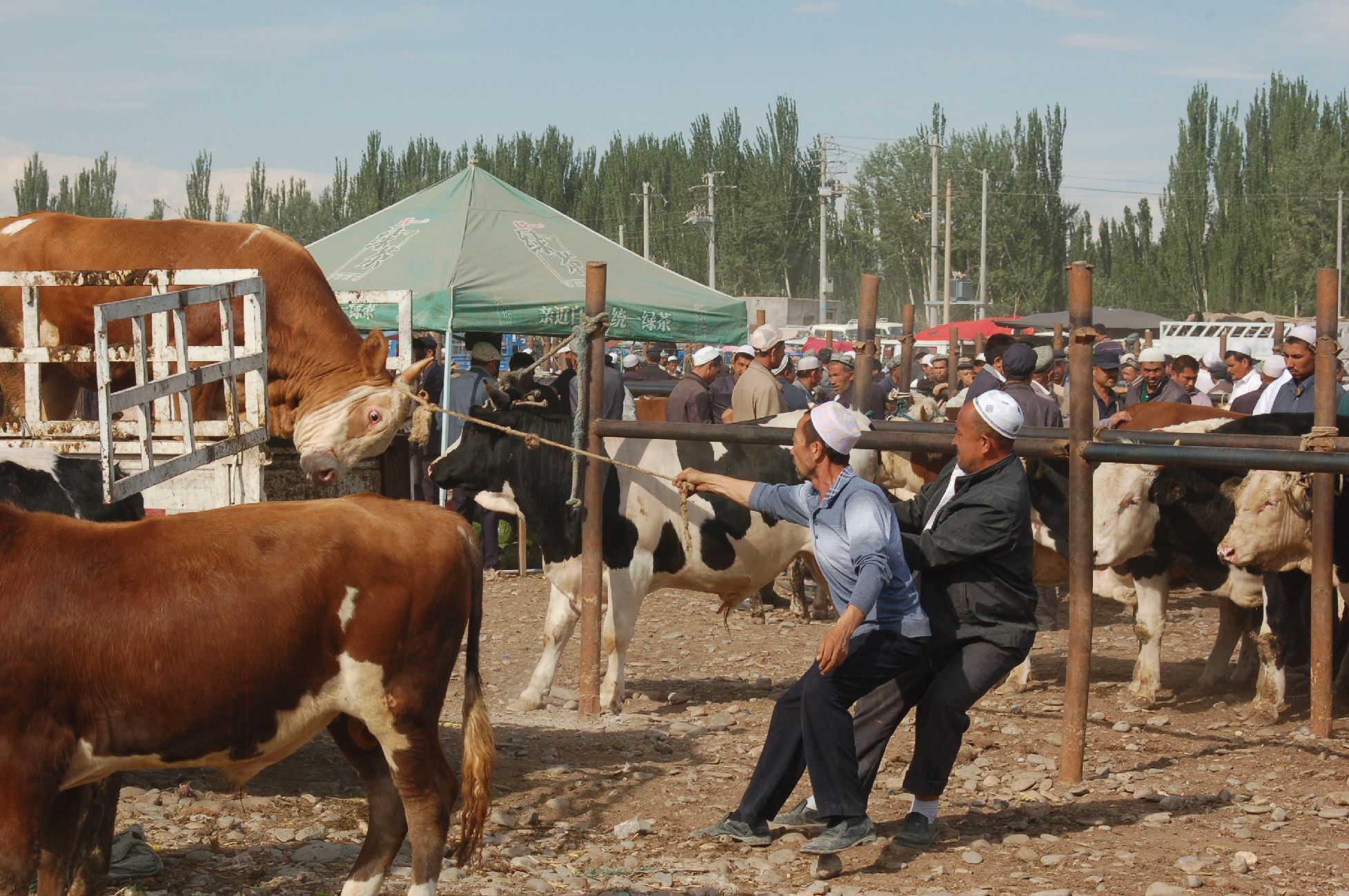
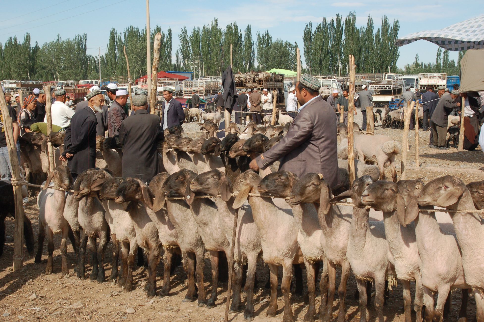
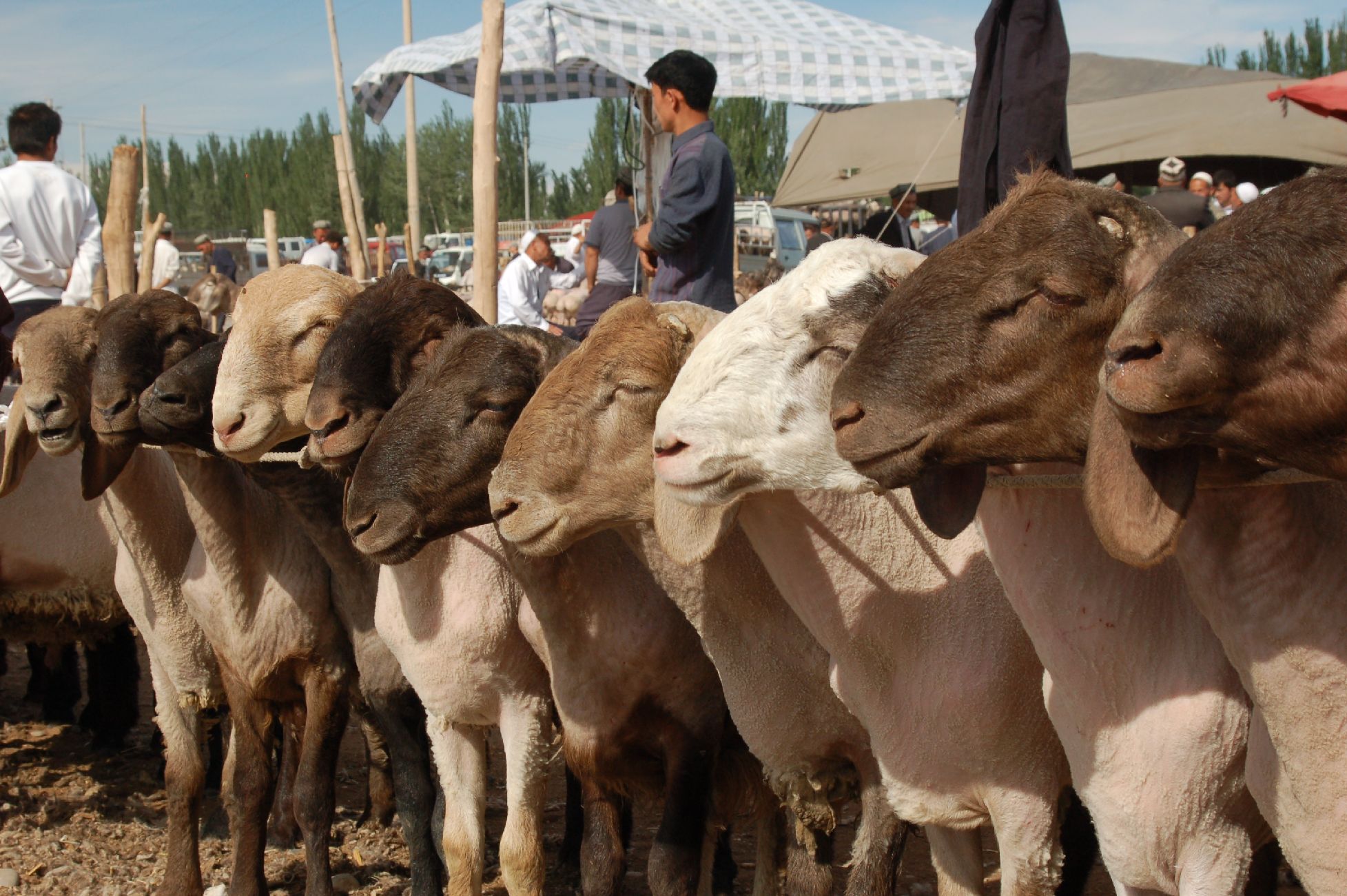
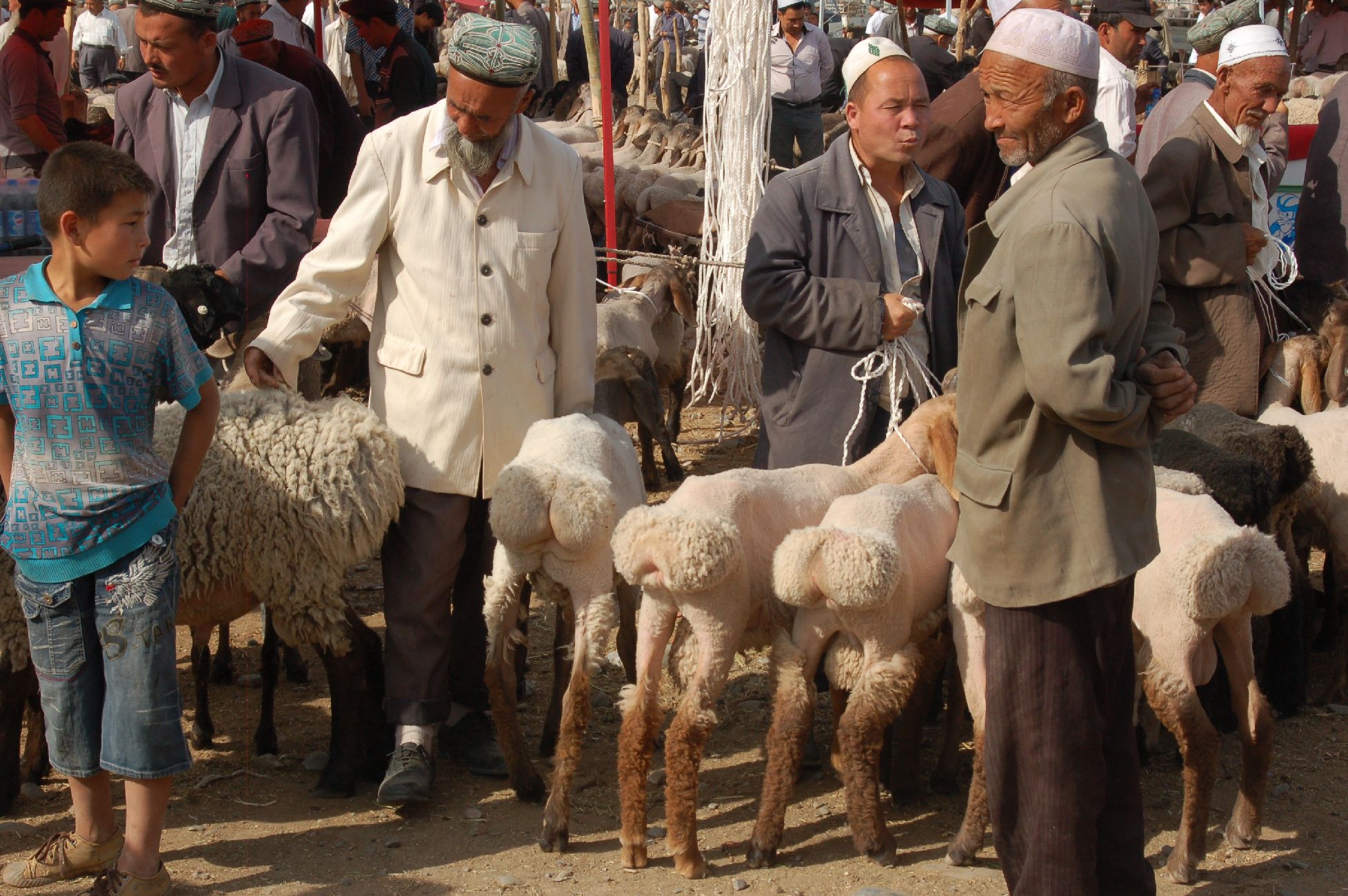
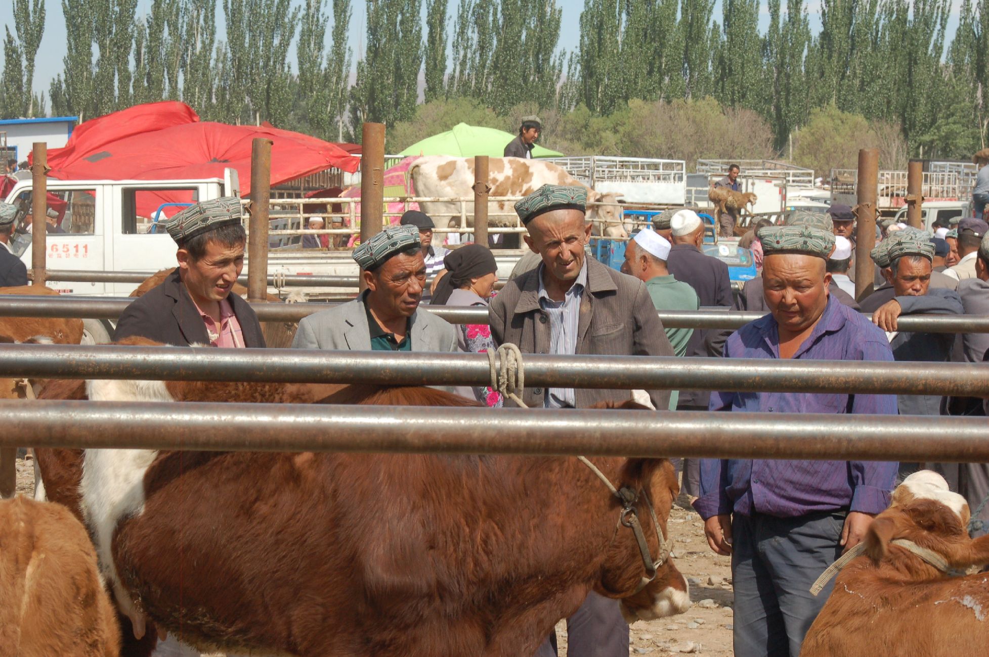
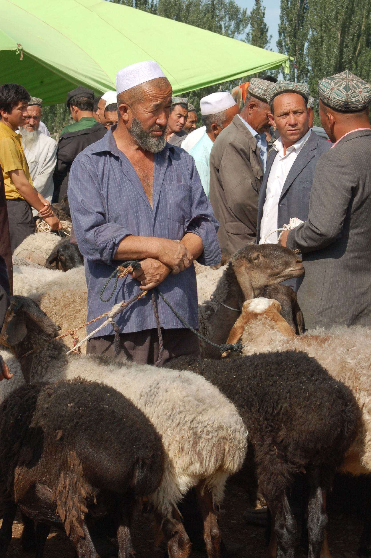
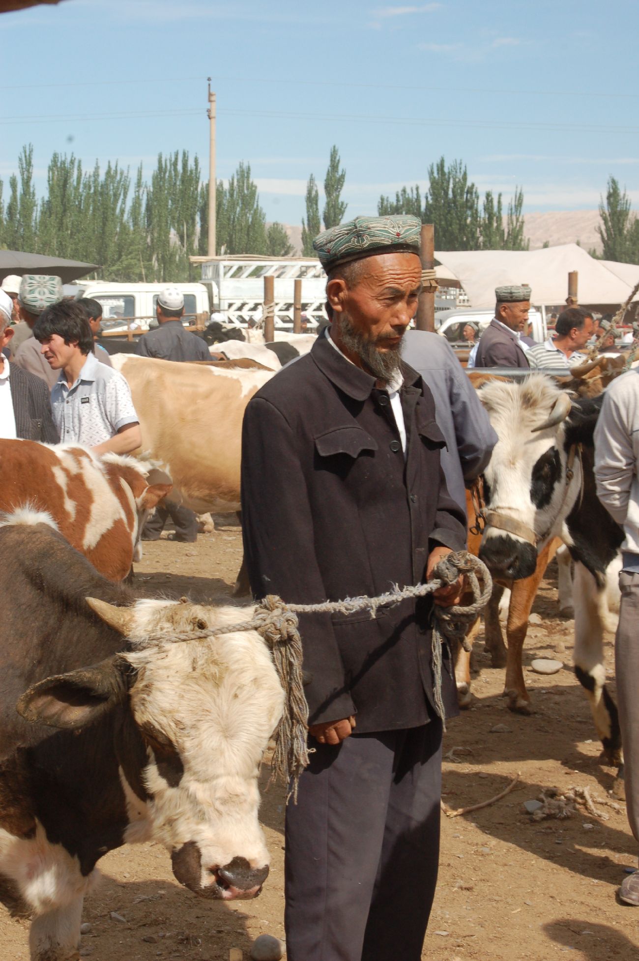
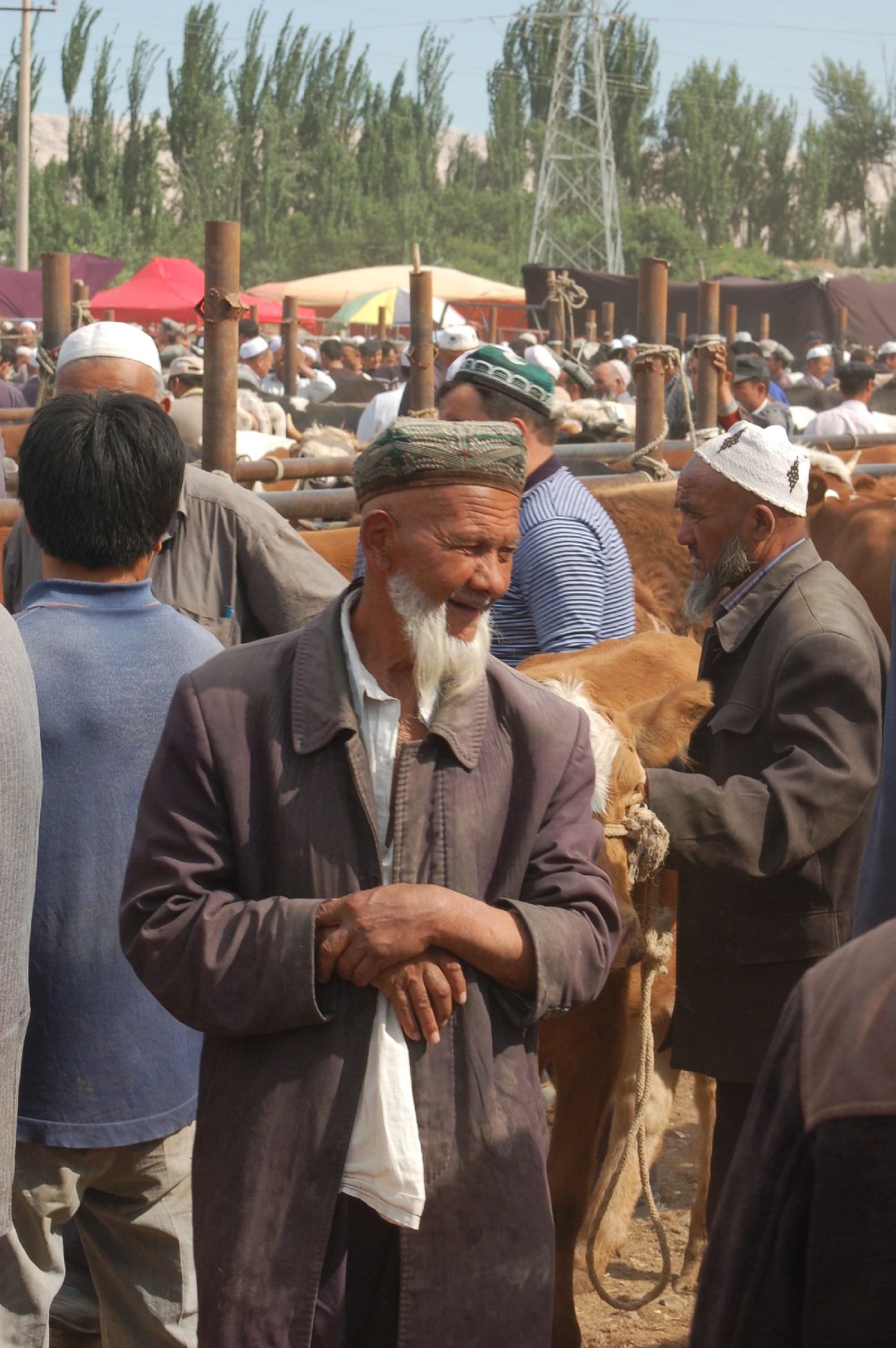
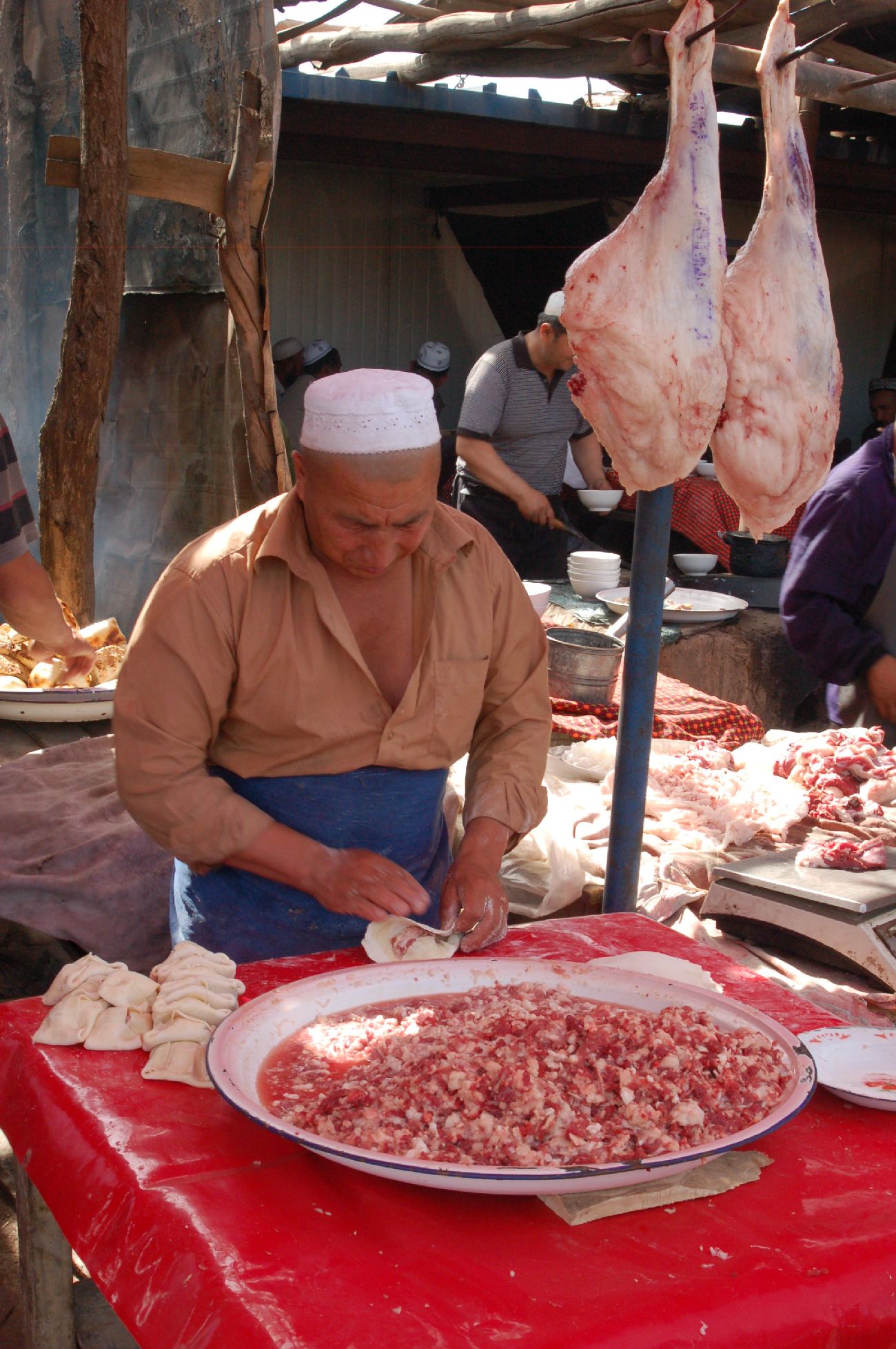
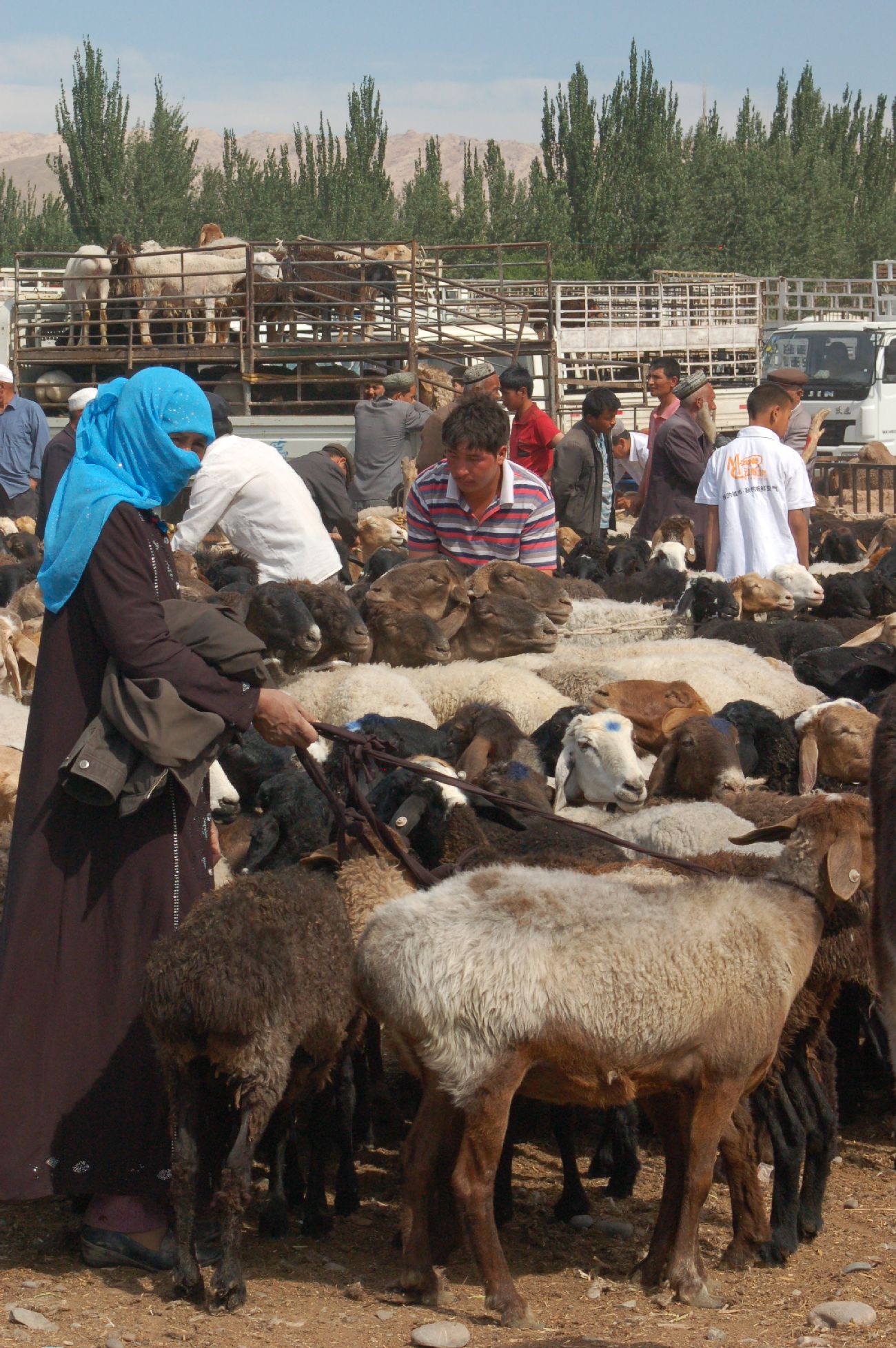
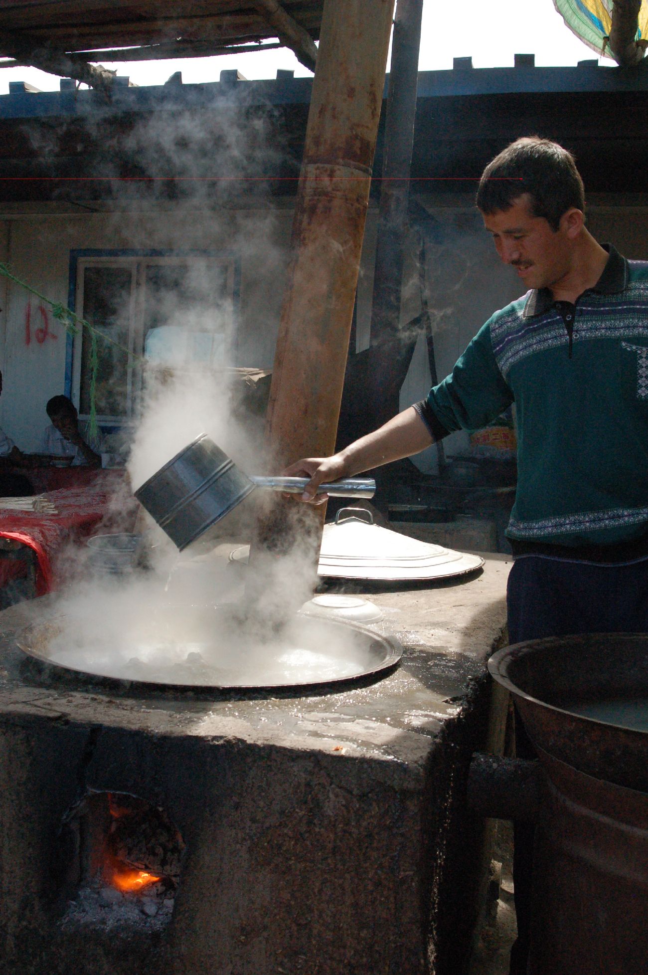
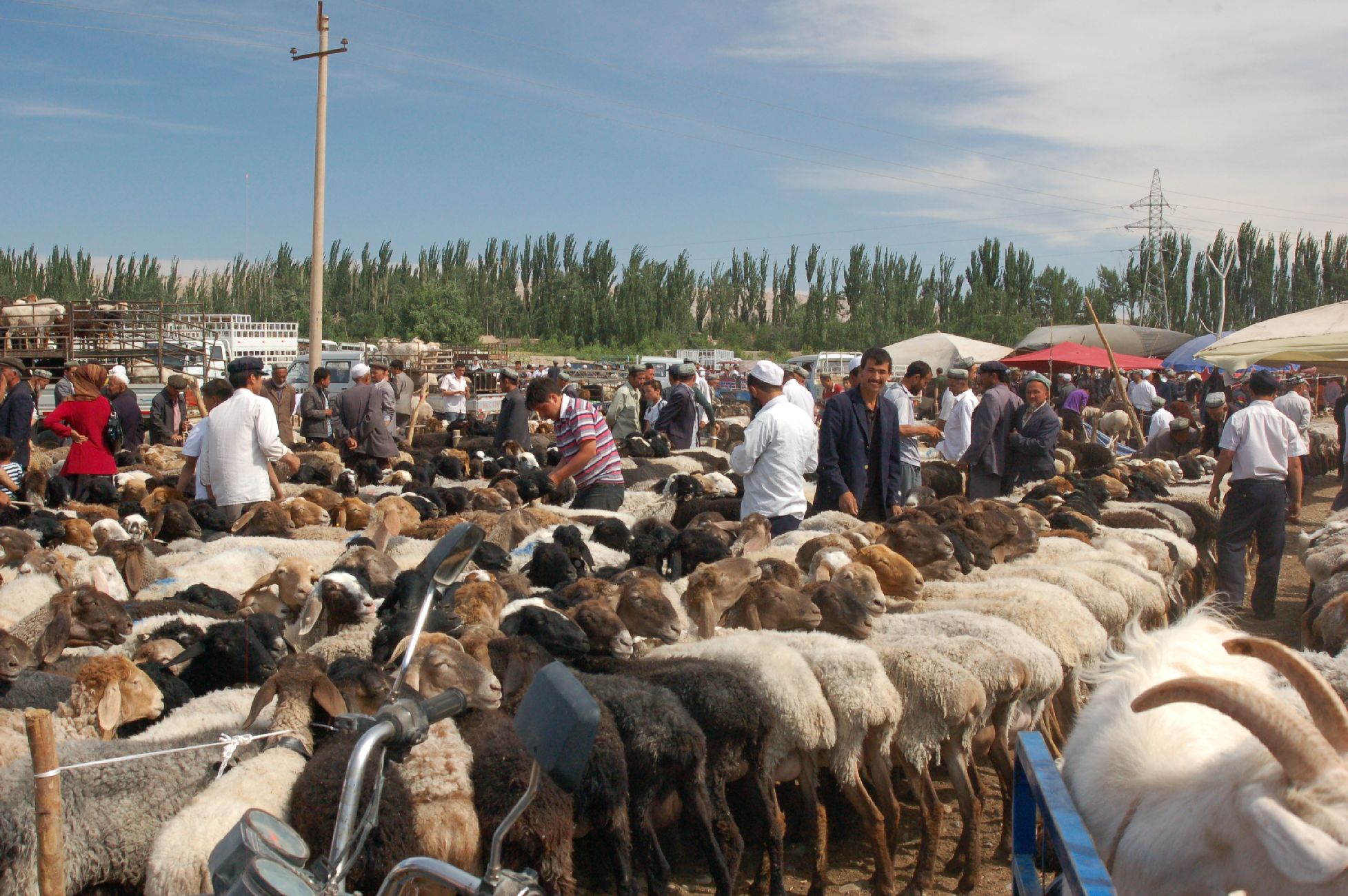
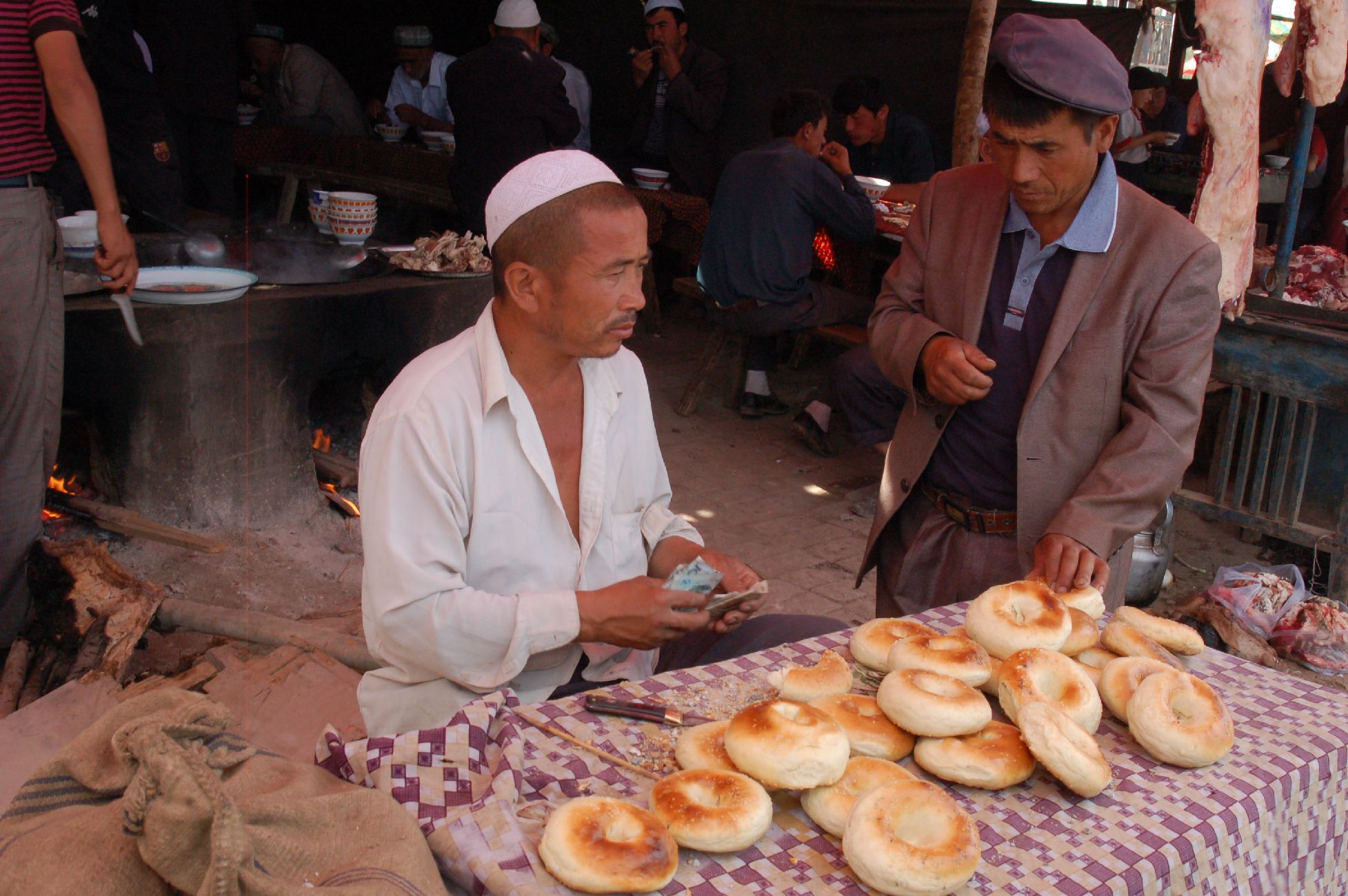
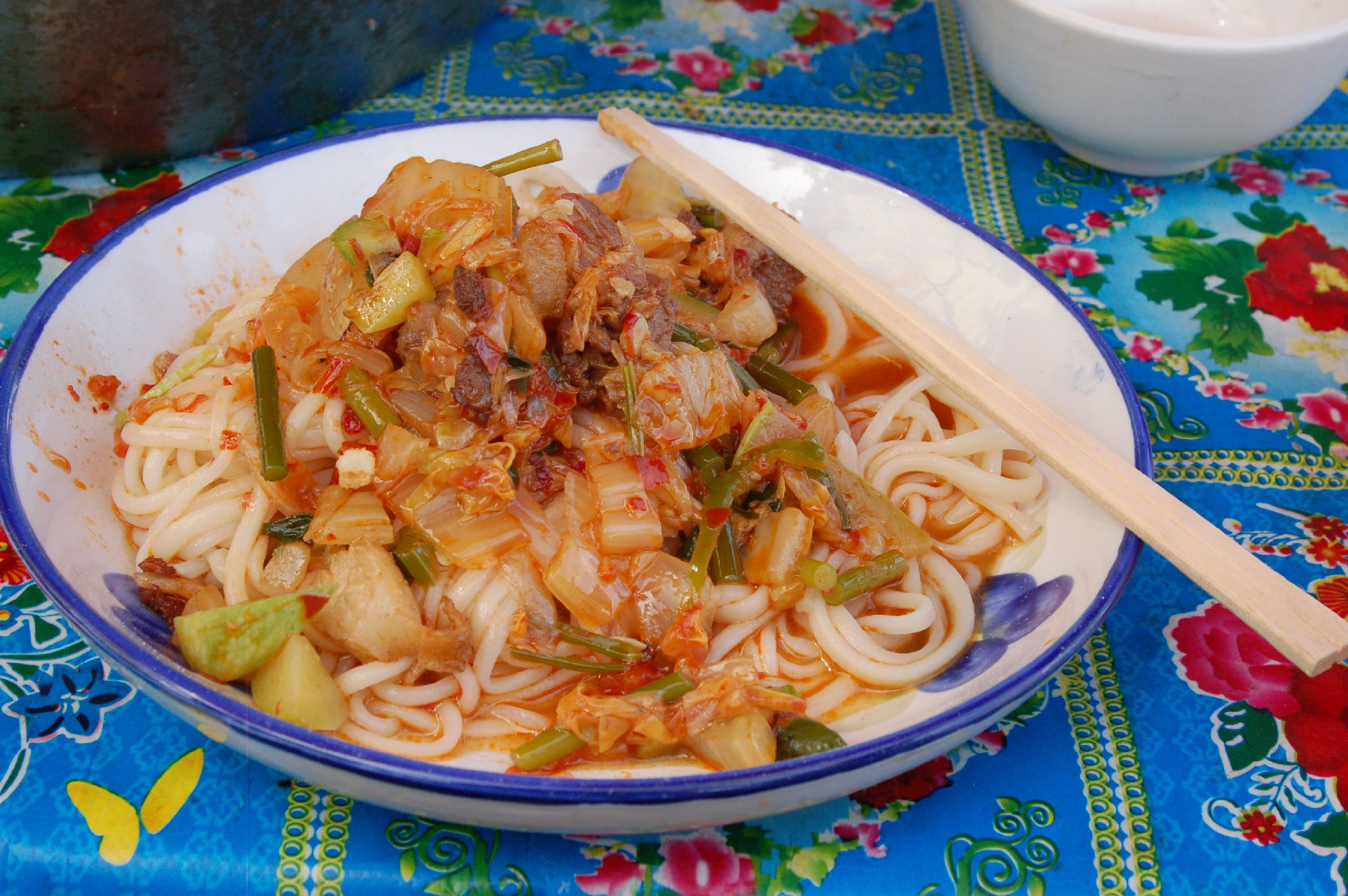
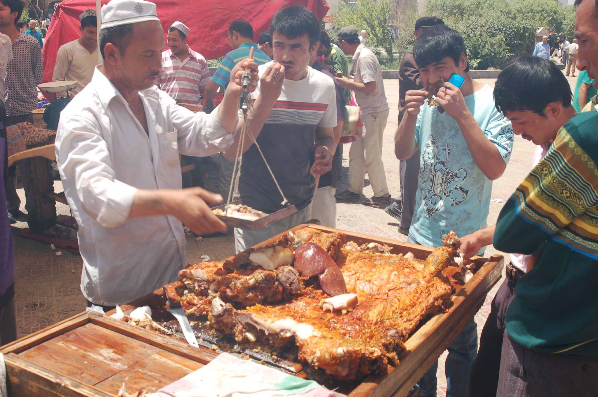
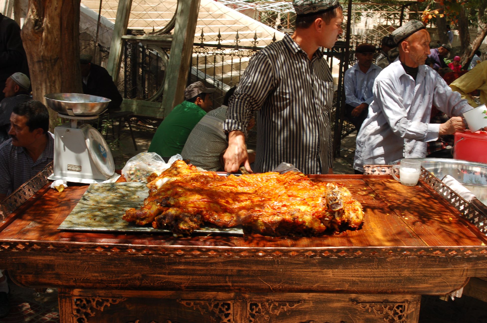
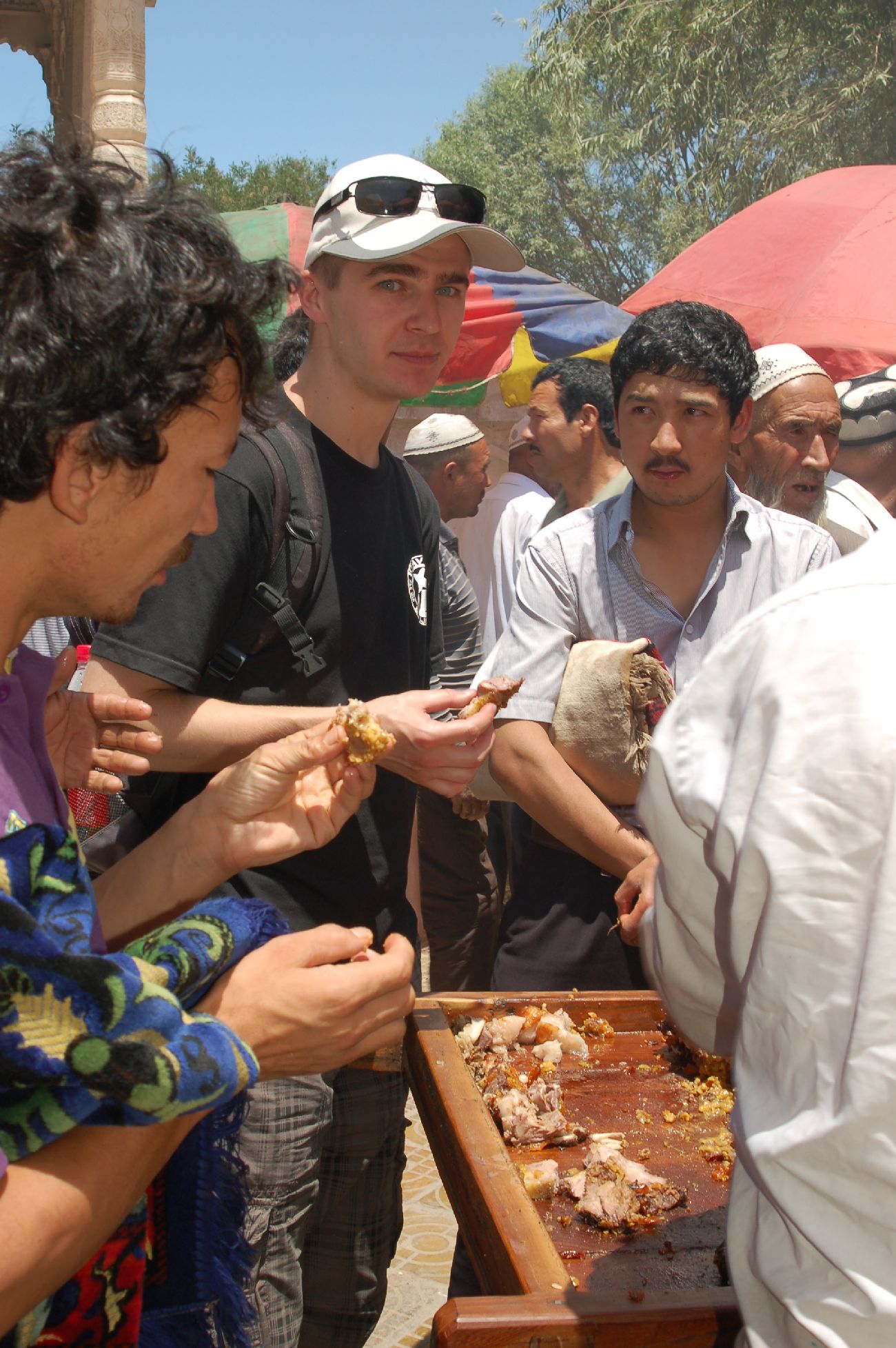
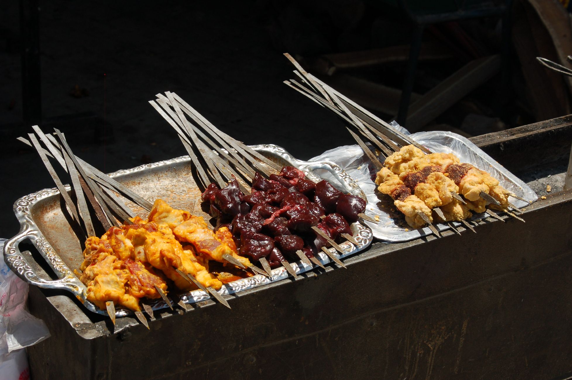
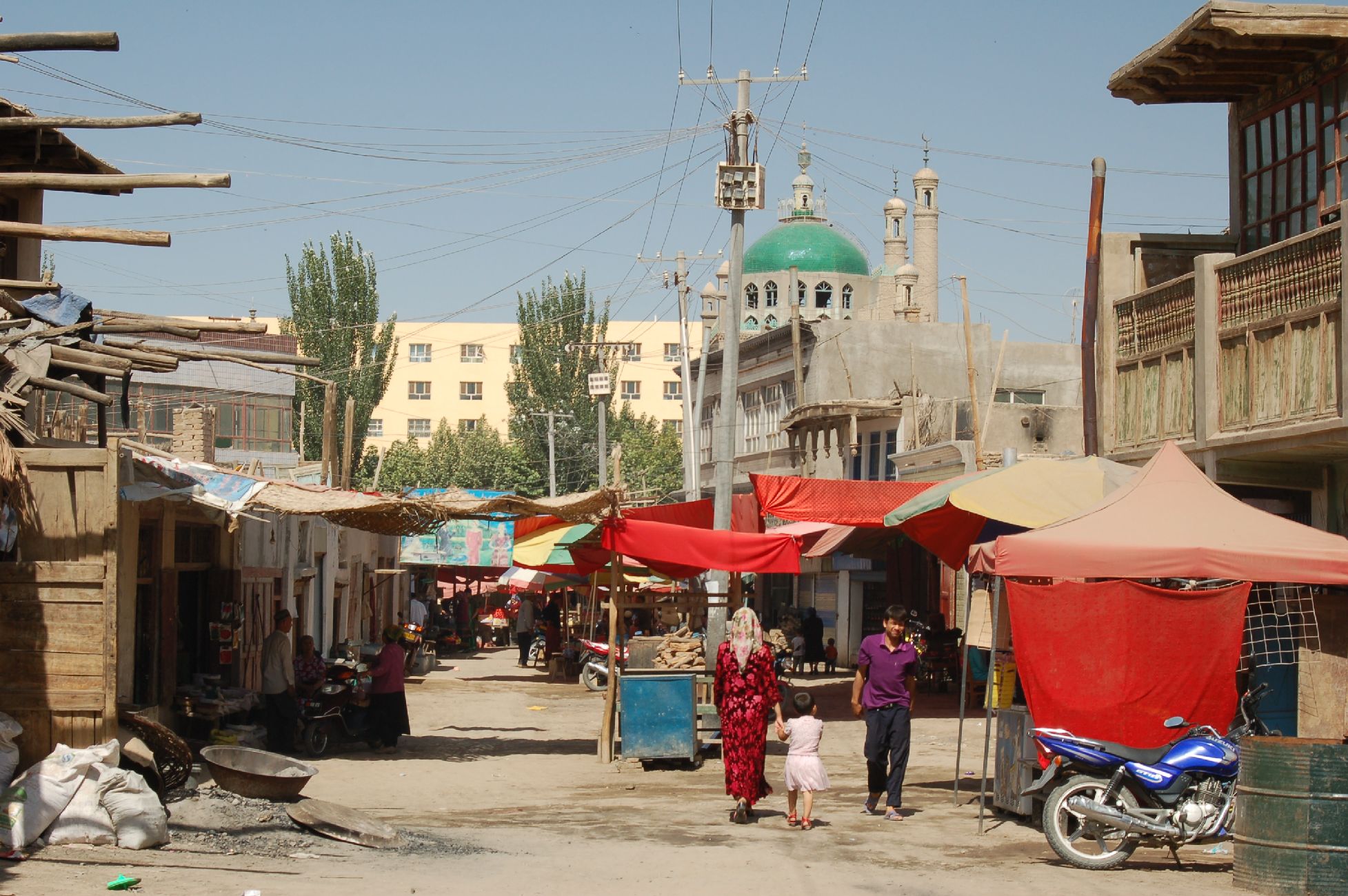
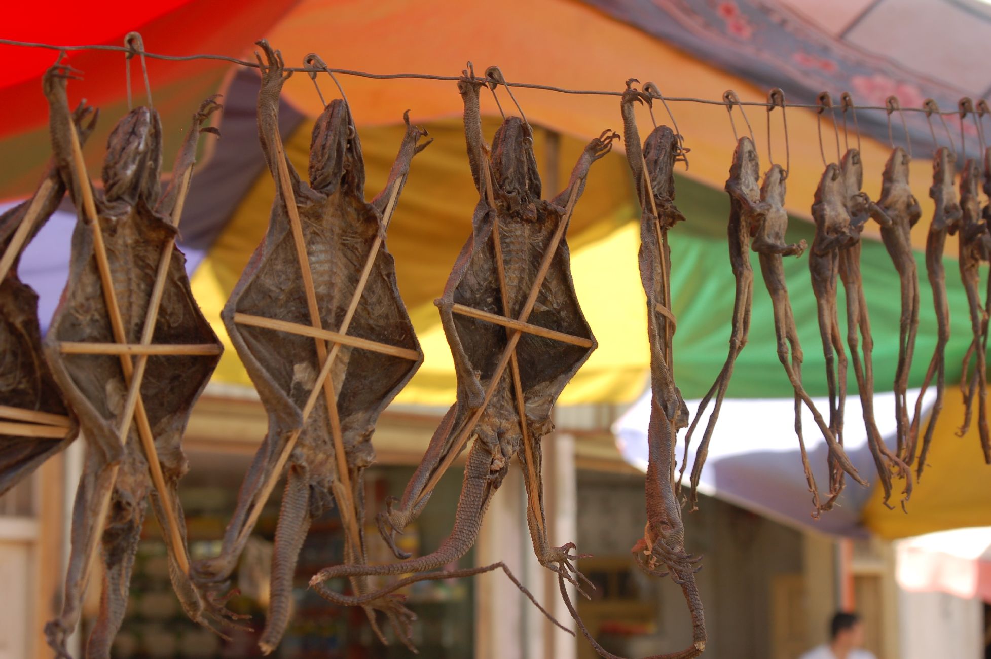
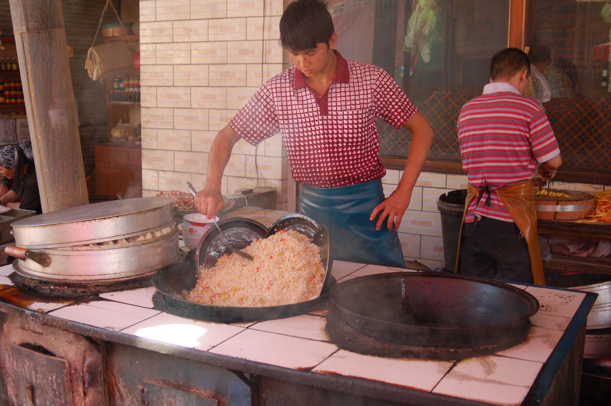
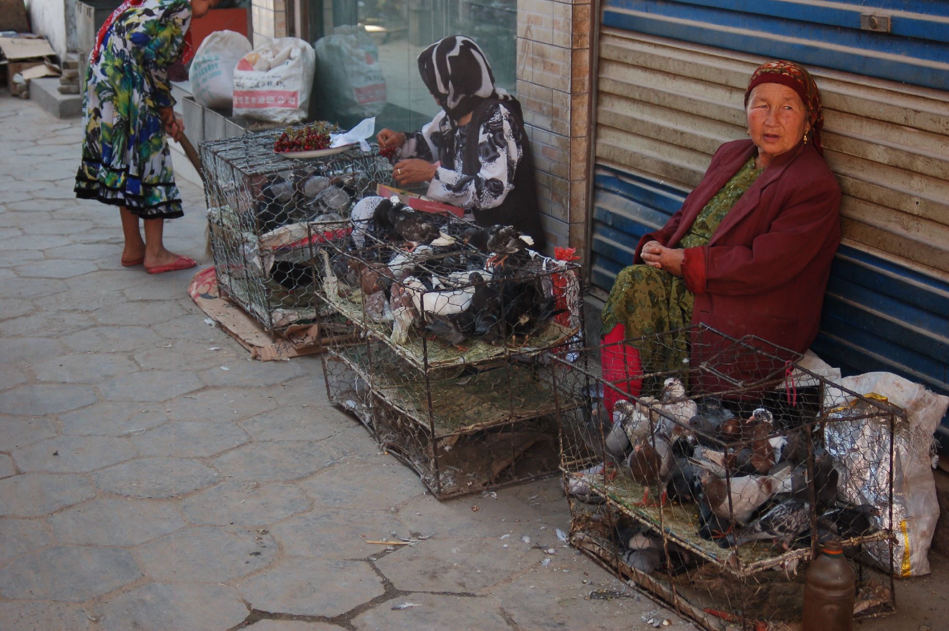
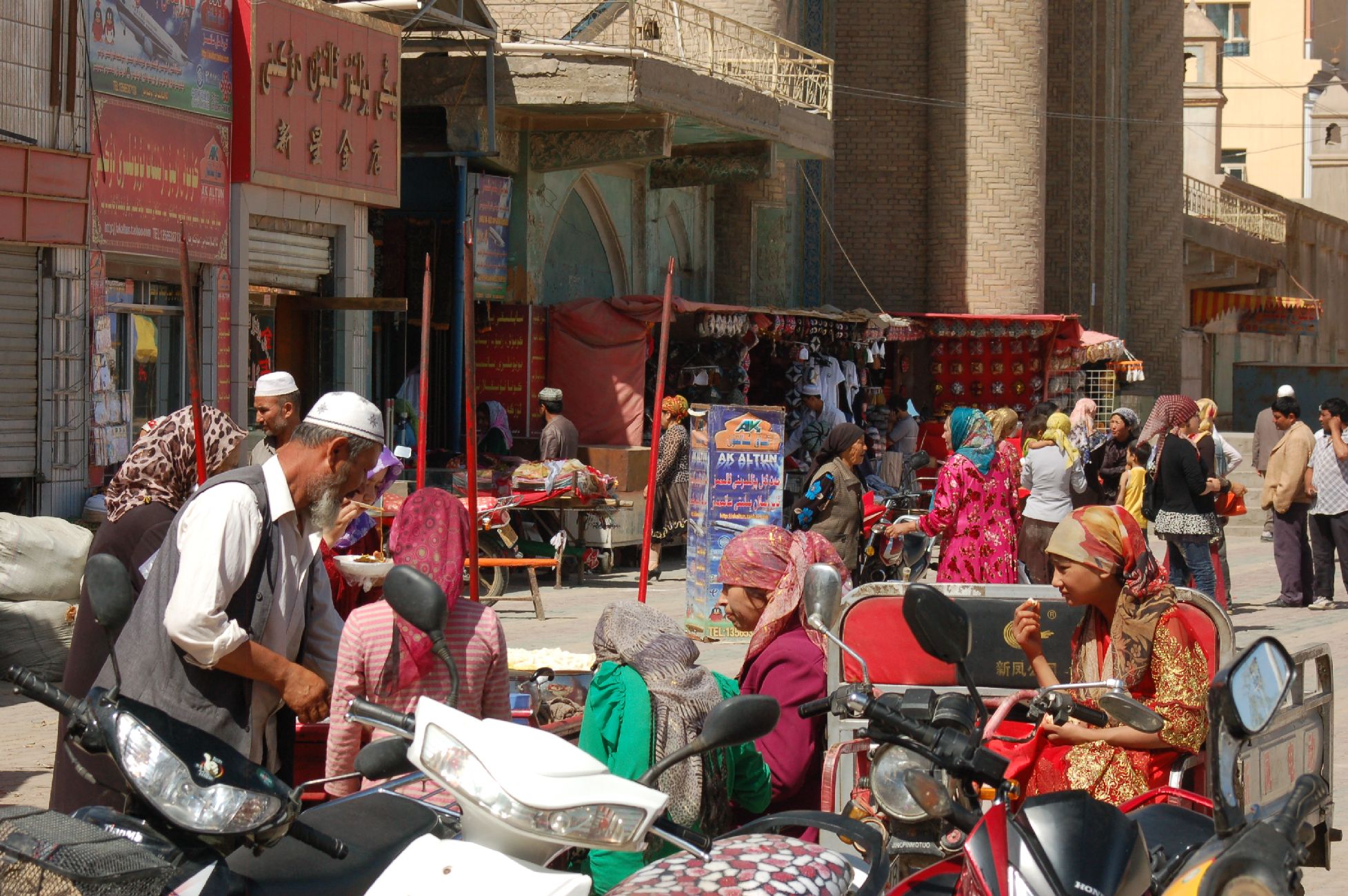
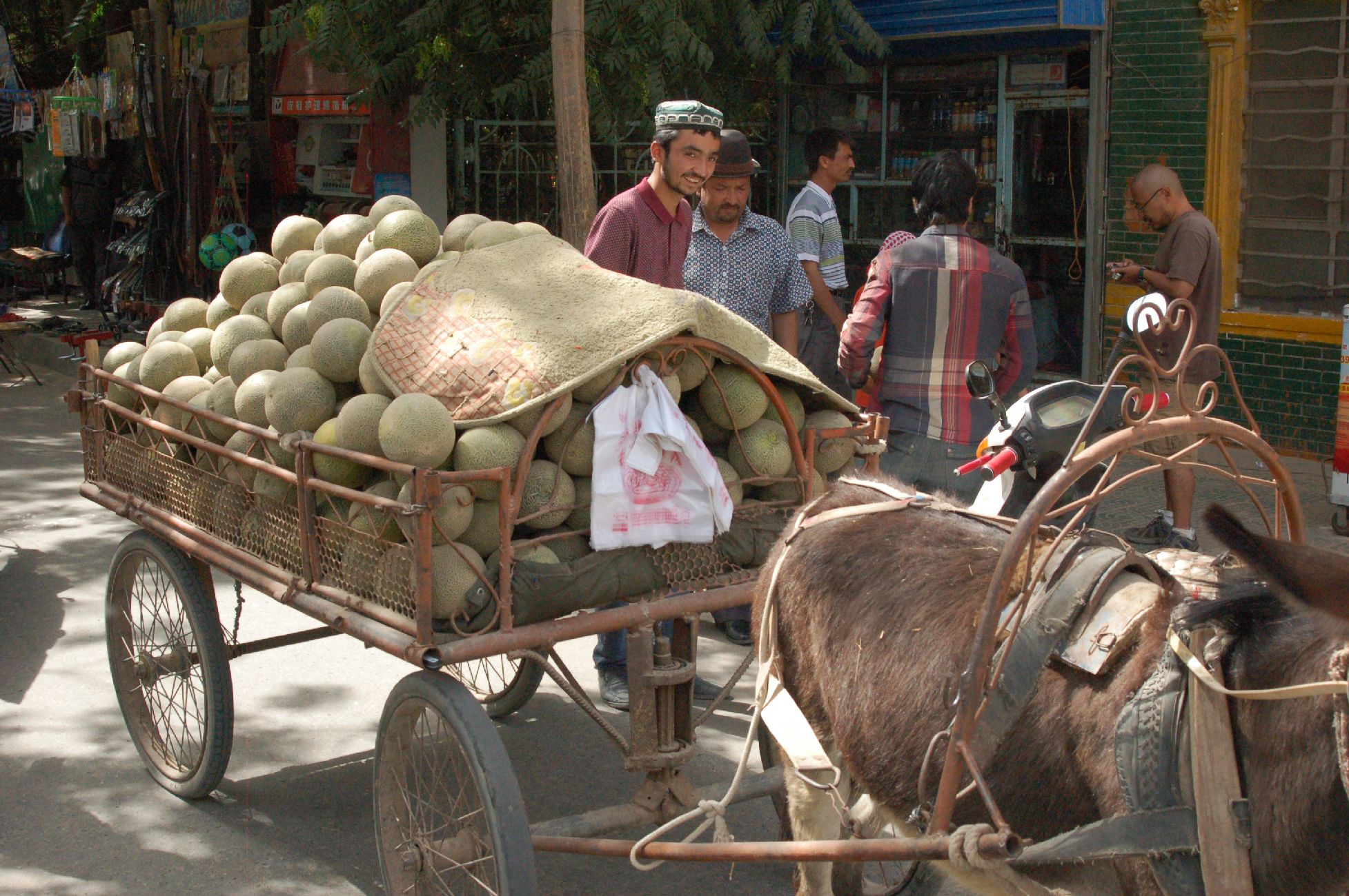
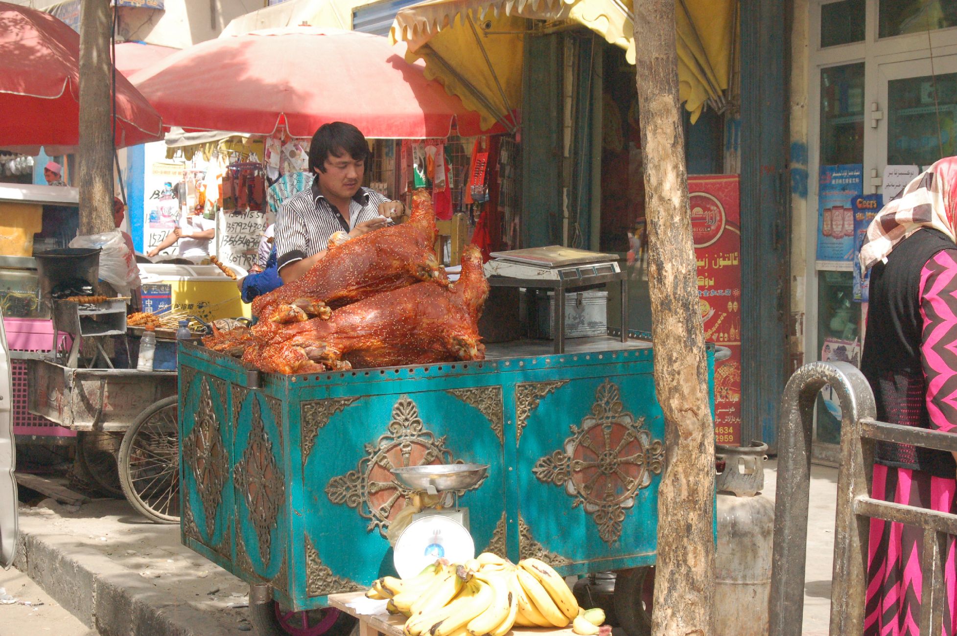
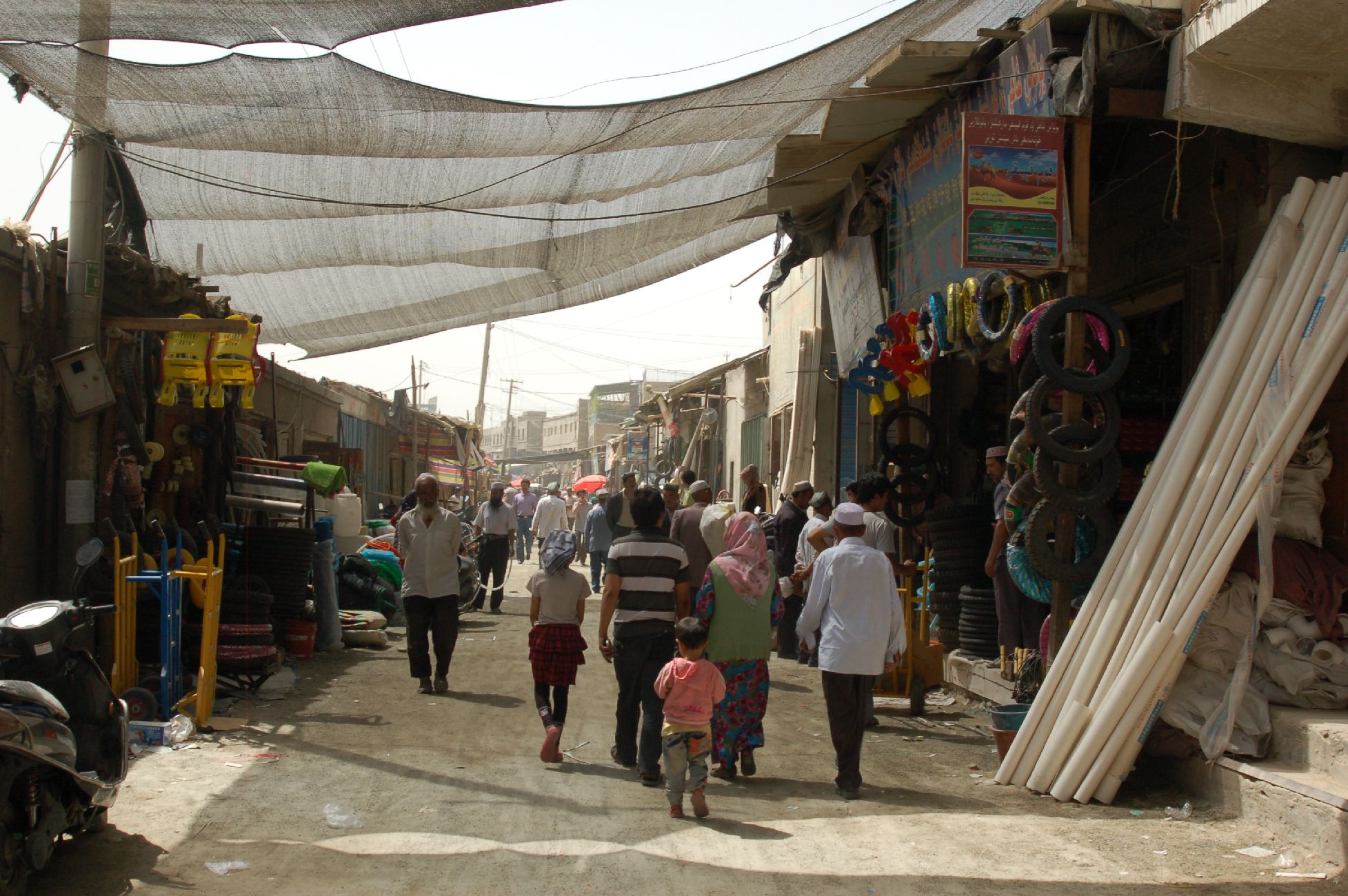
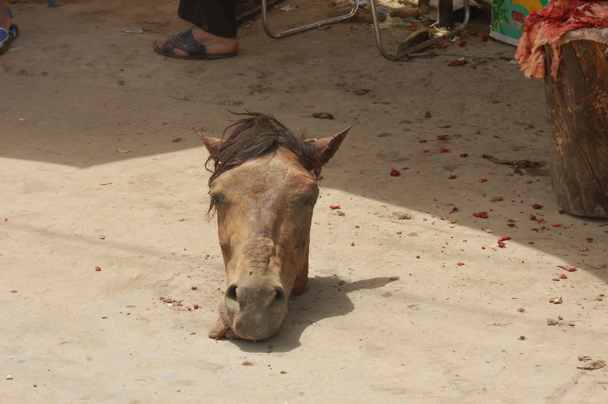
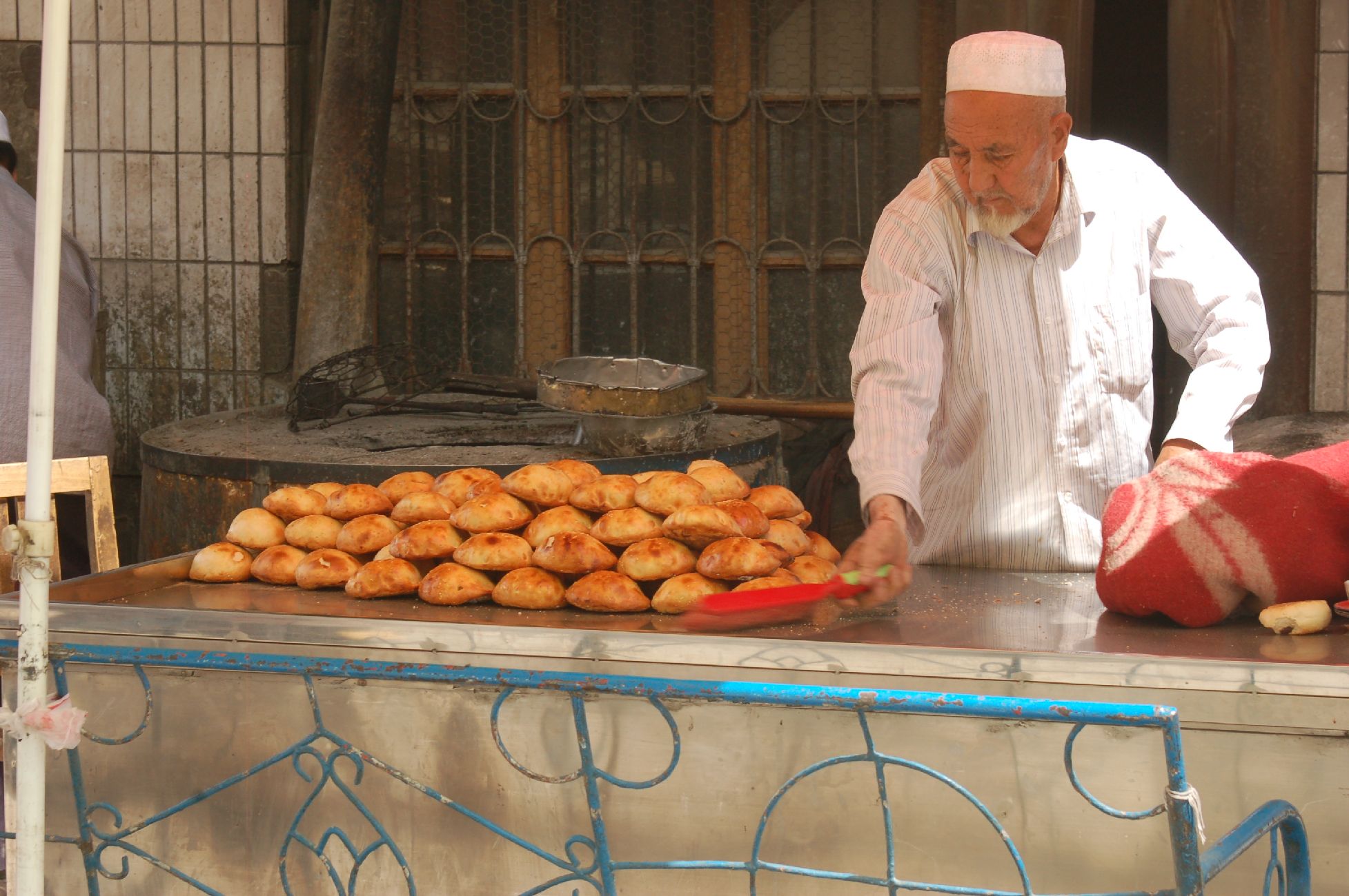
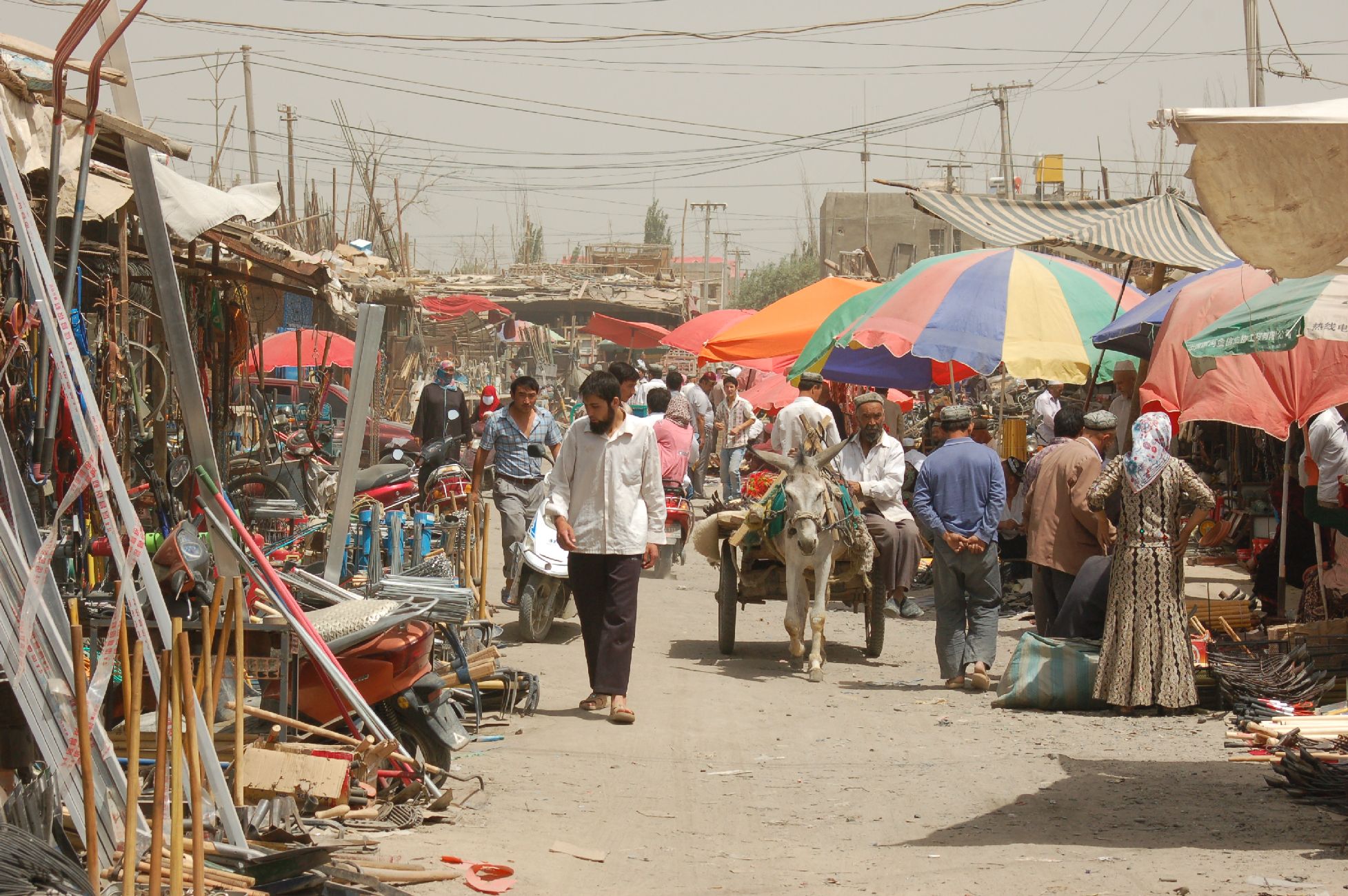
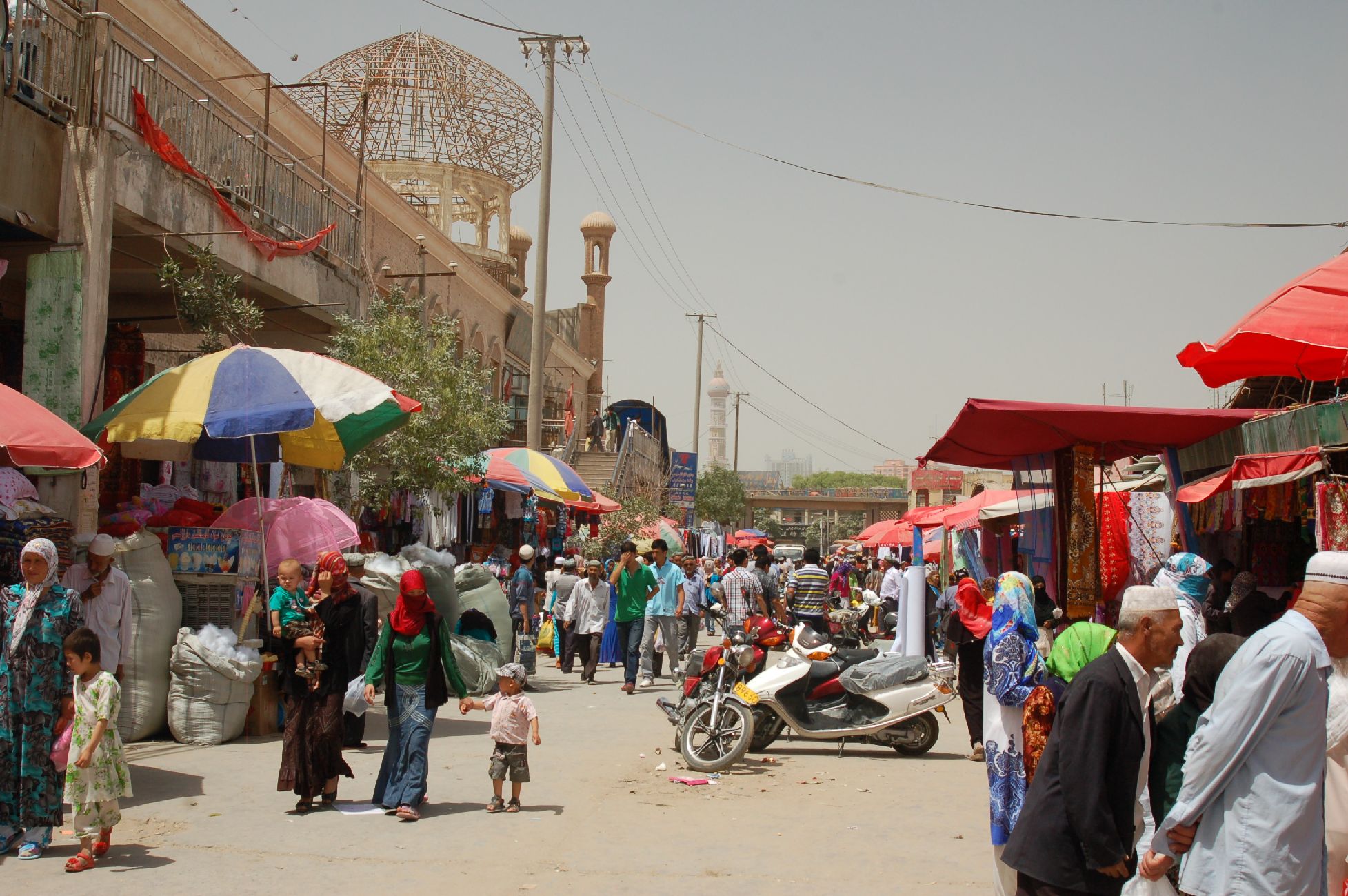
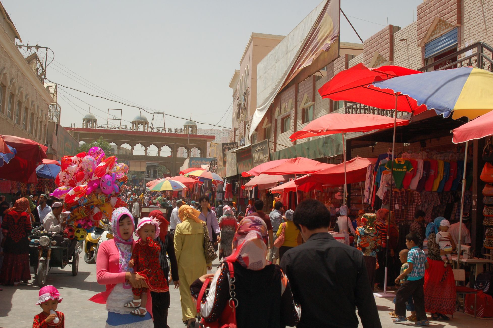
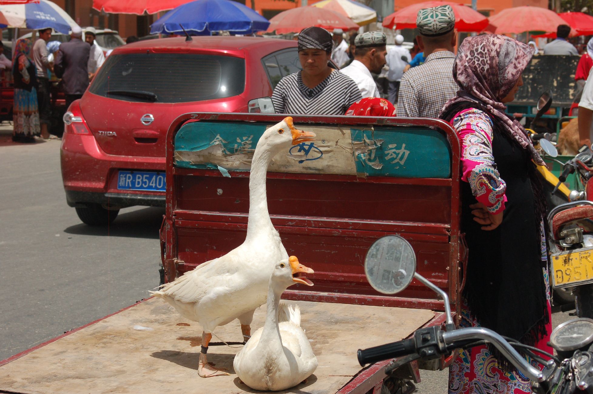
Kashgar Sunday Market
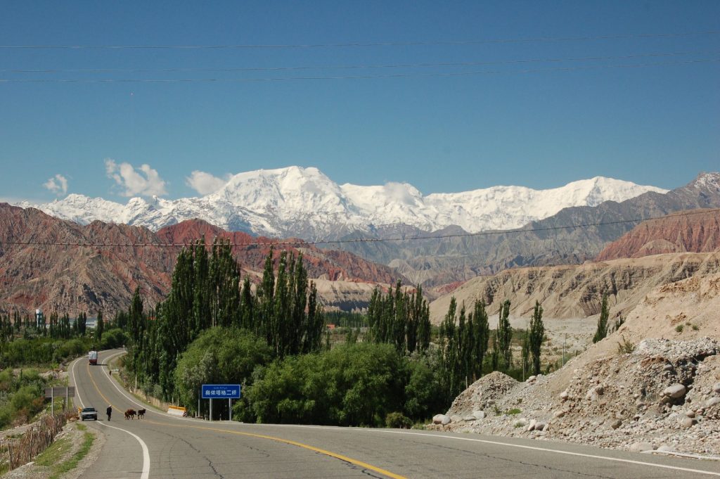
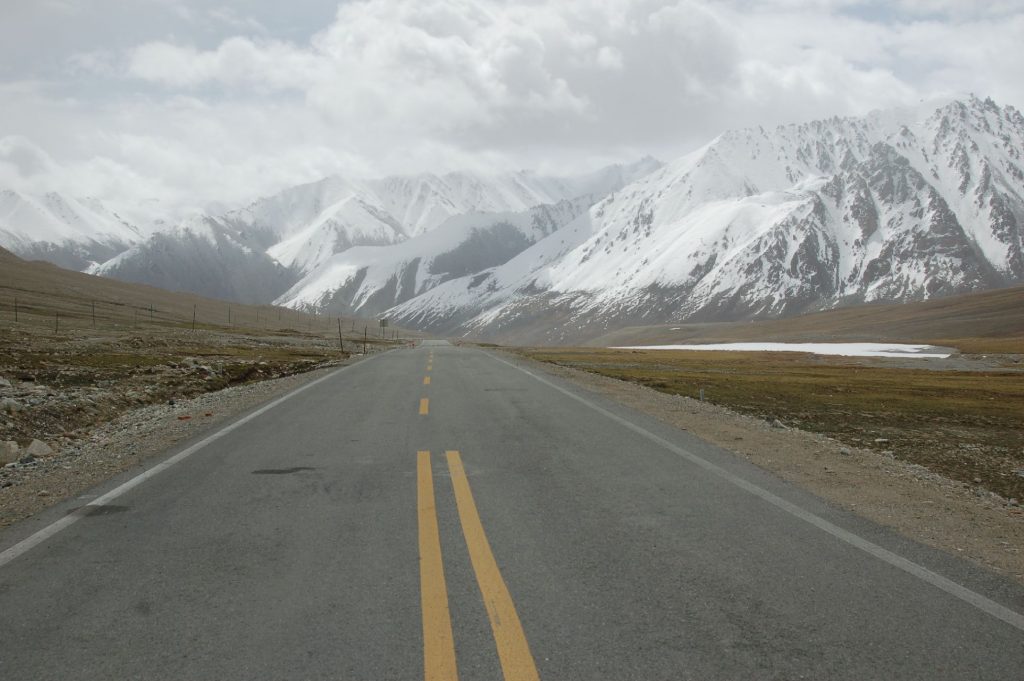
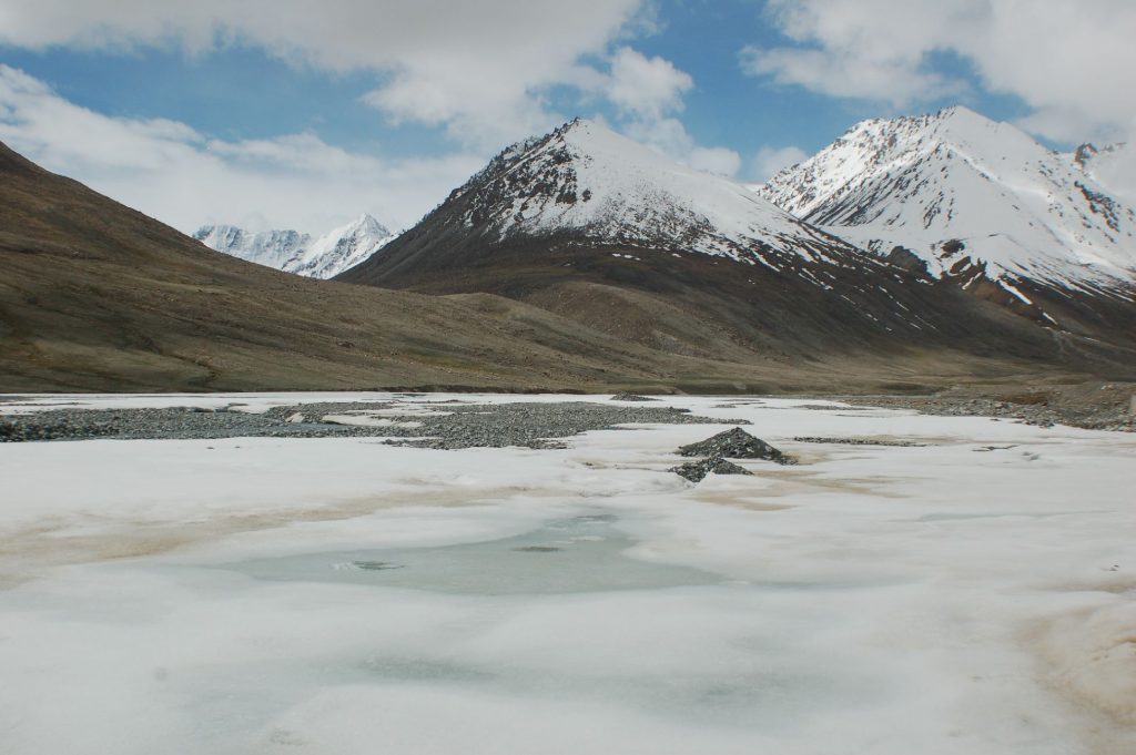
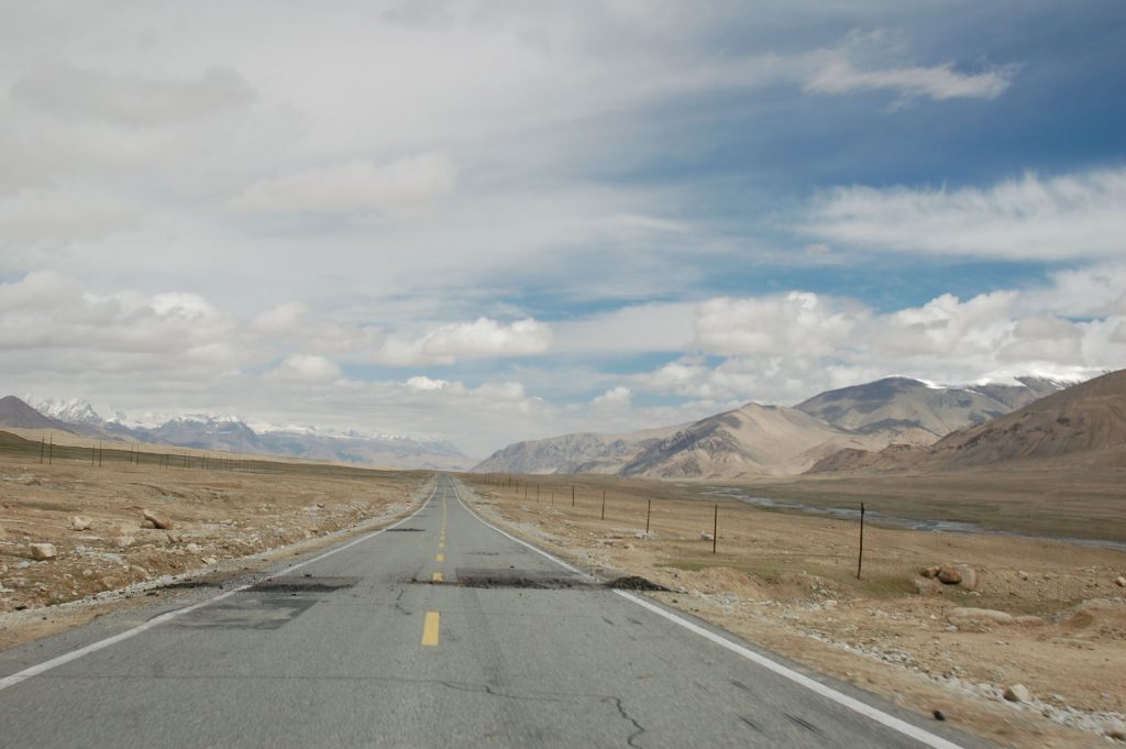
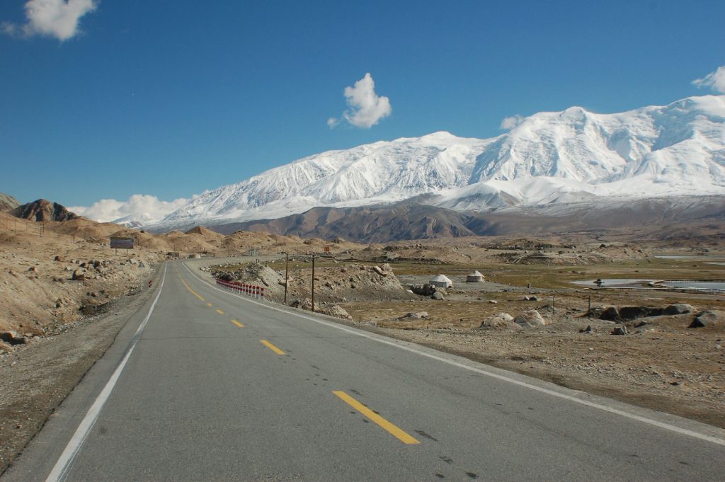
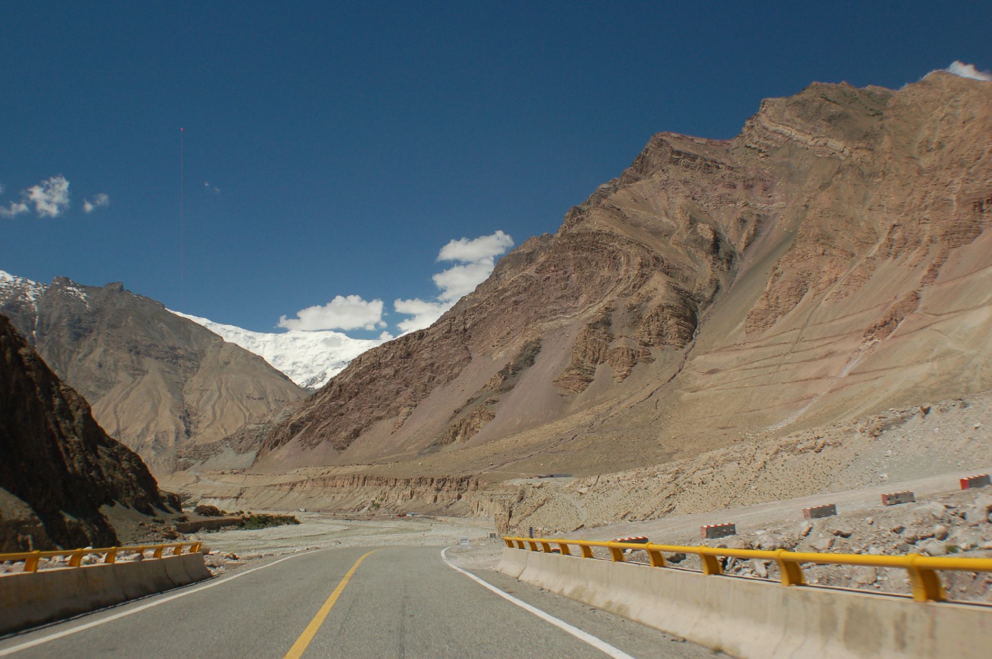
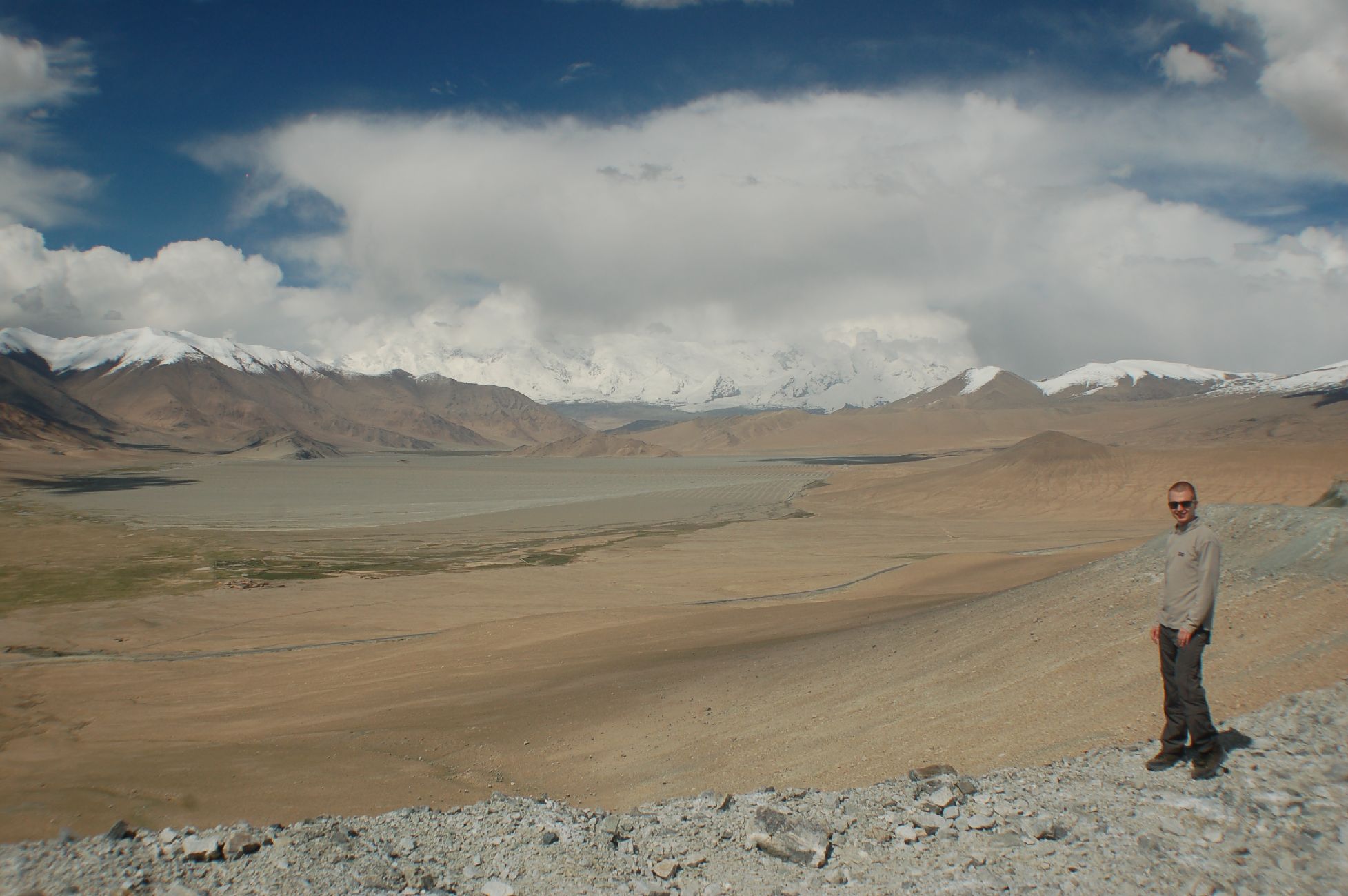
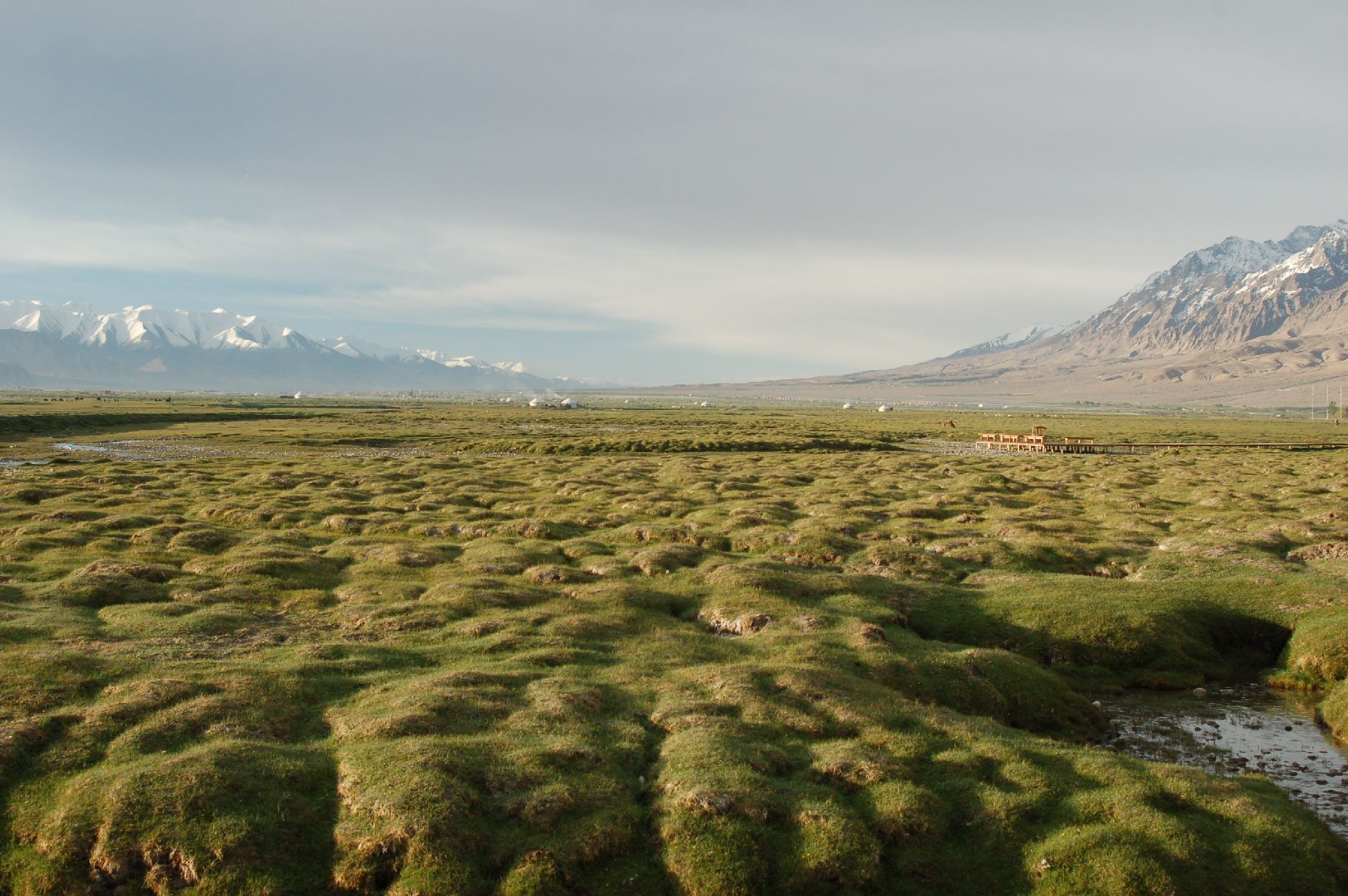
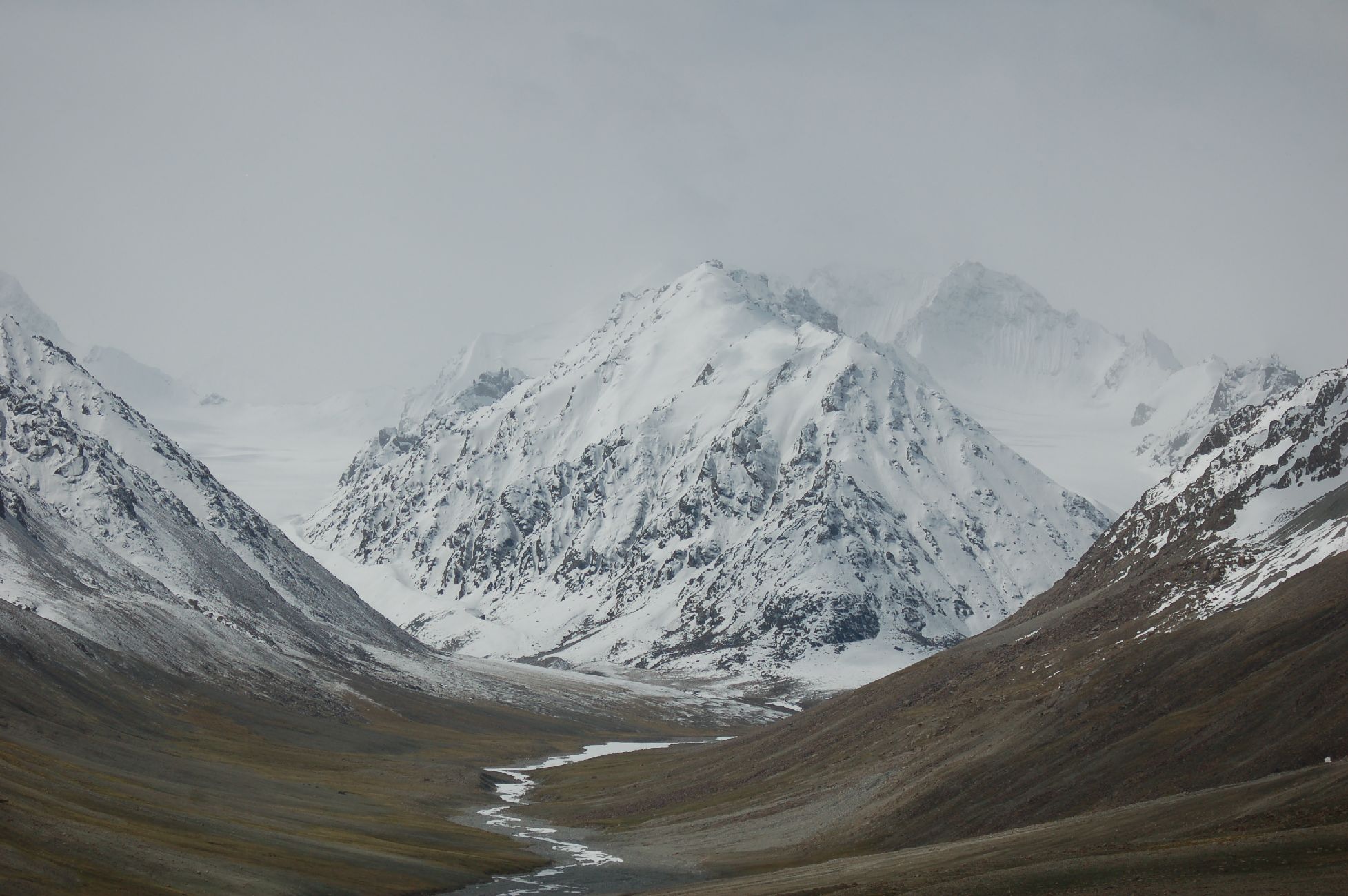
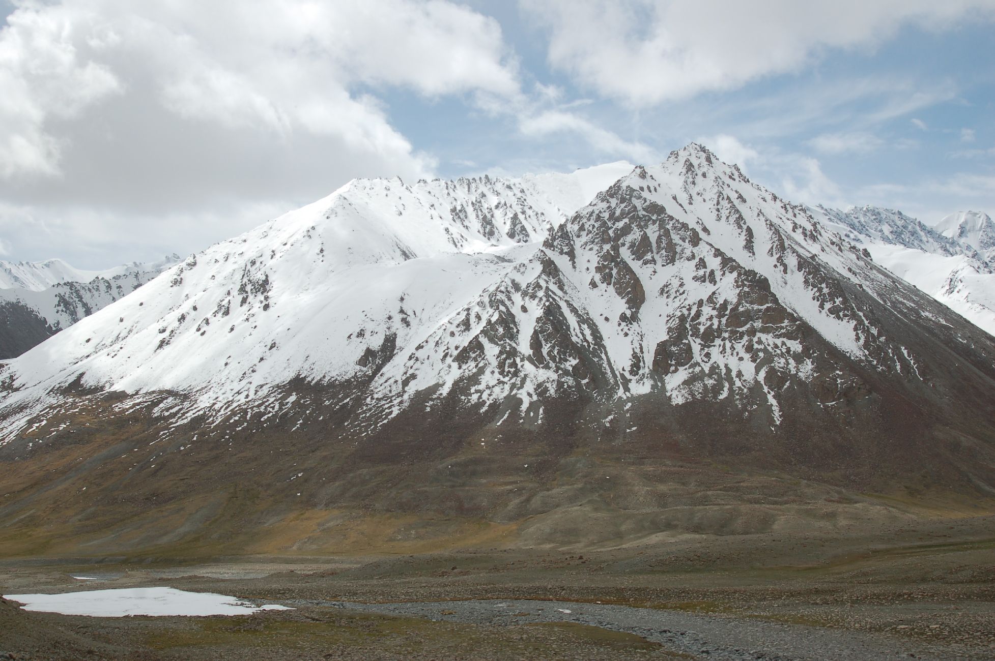
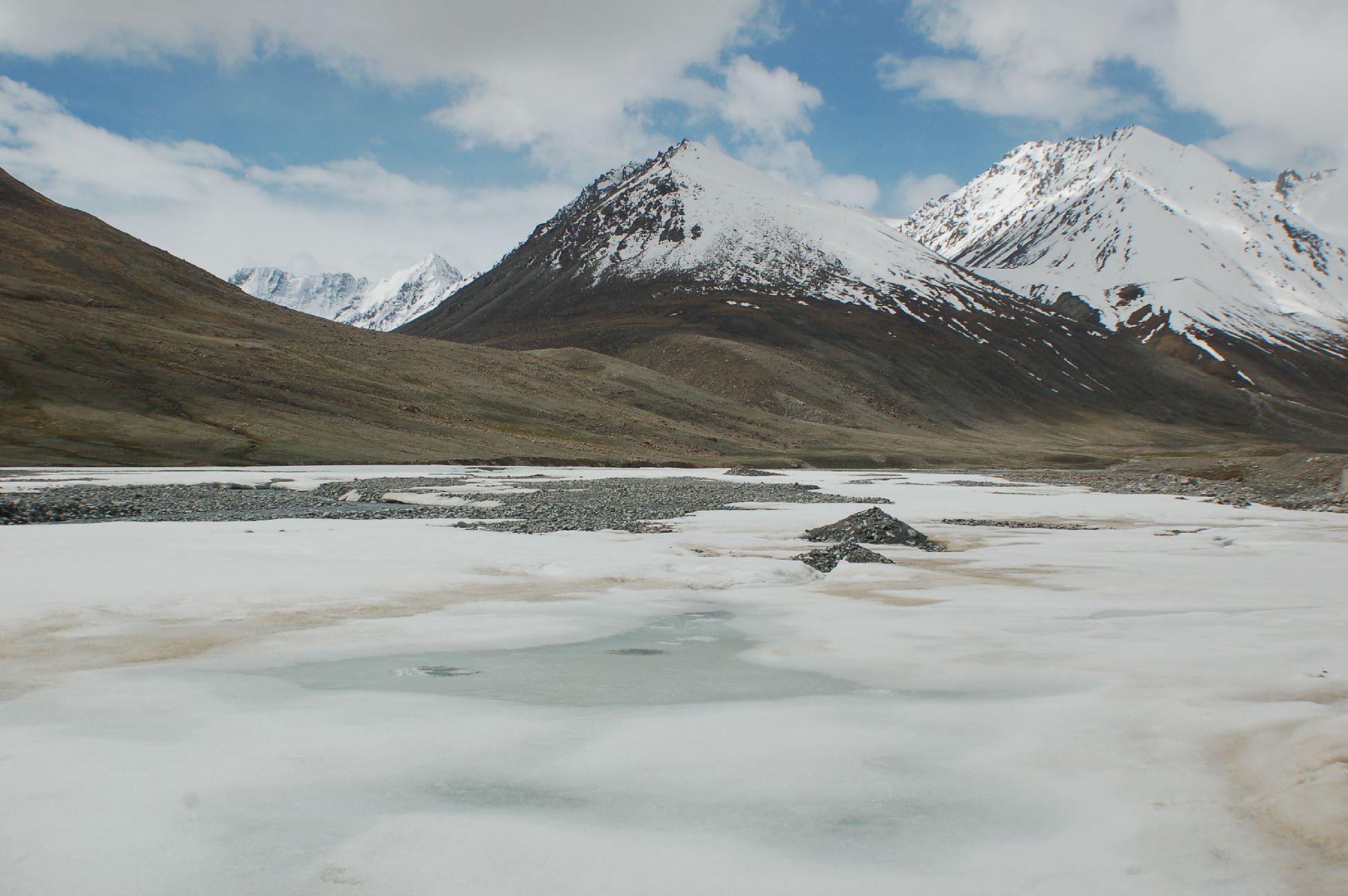
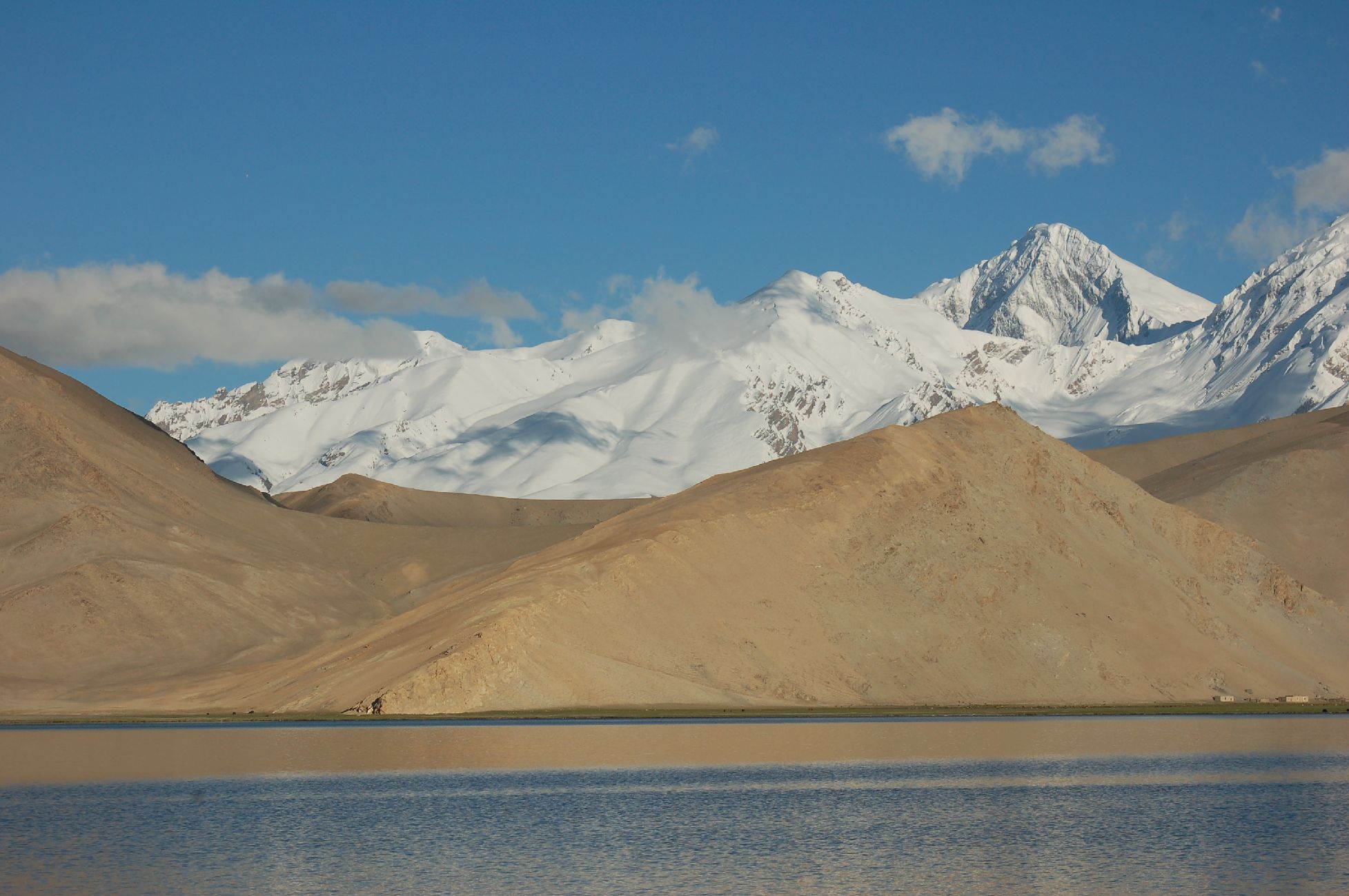
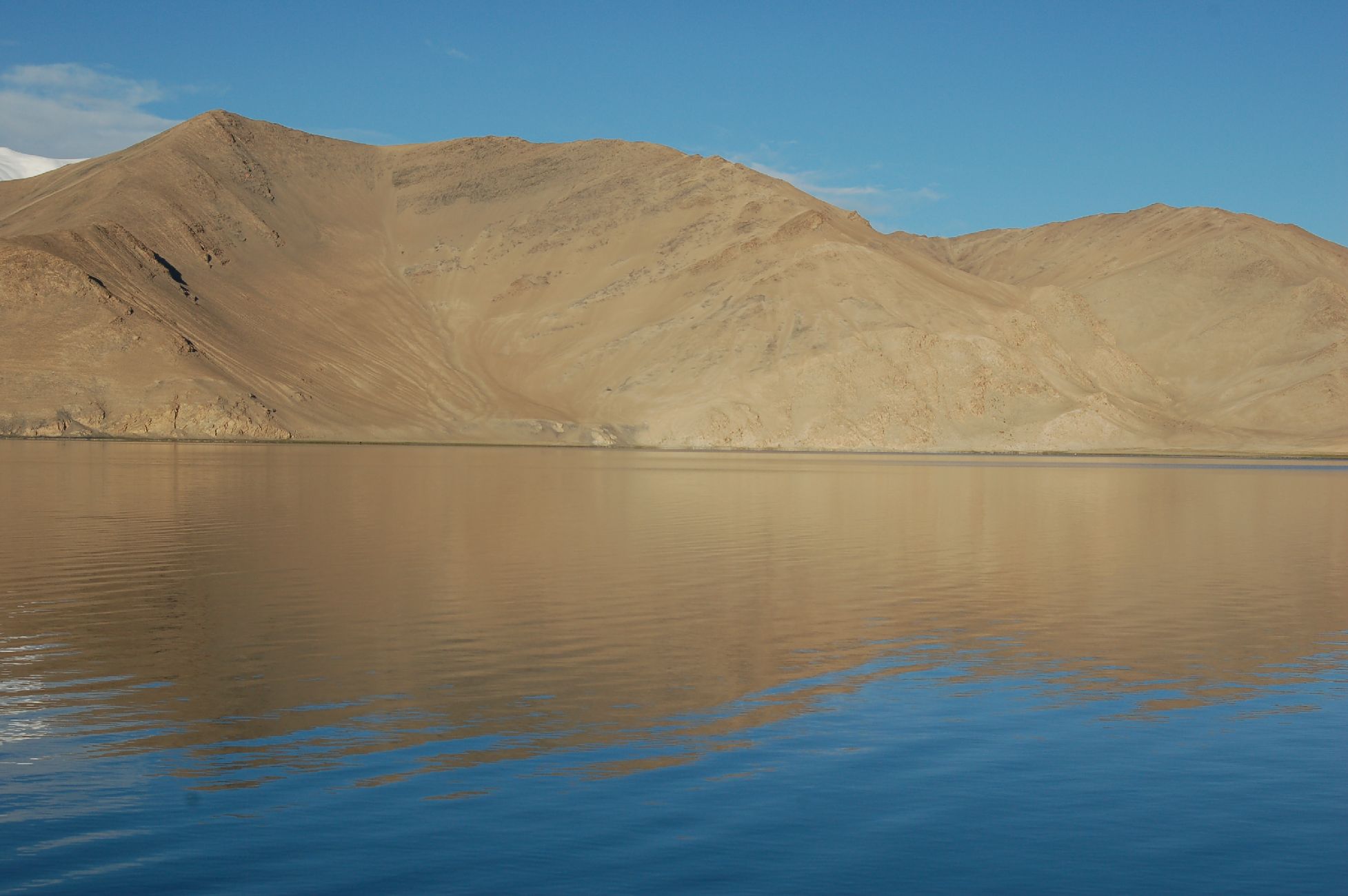
Karakoram Highway
Driving along the Karakoram Highway towards the Pakistan border at Khunjerab Pass – the highest border crossing in the world, sitting at 4,693m. As a sidenote, with all of China being one time zone, running on Beijing time, when you cross the China-Pakistan border you need to set your watch back 3 hours.


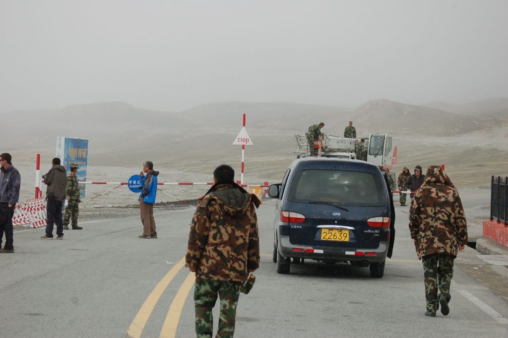
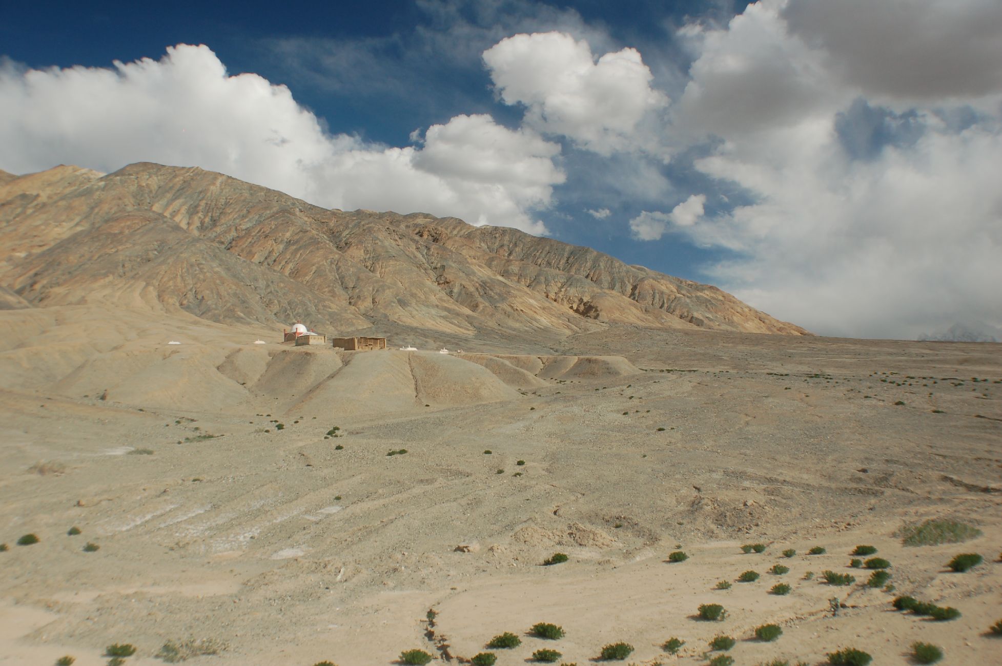
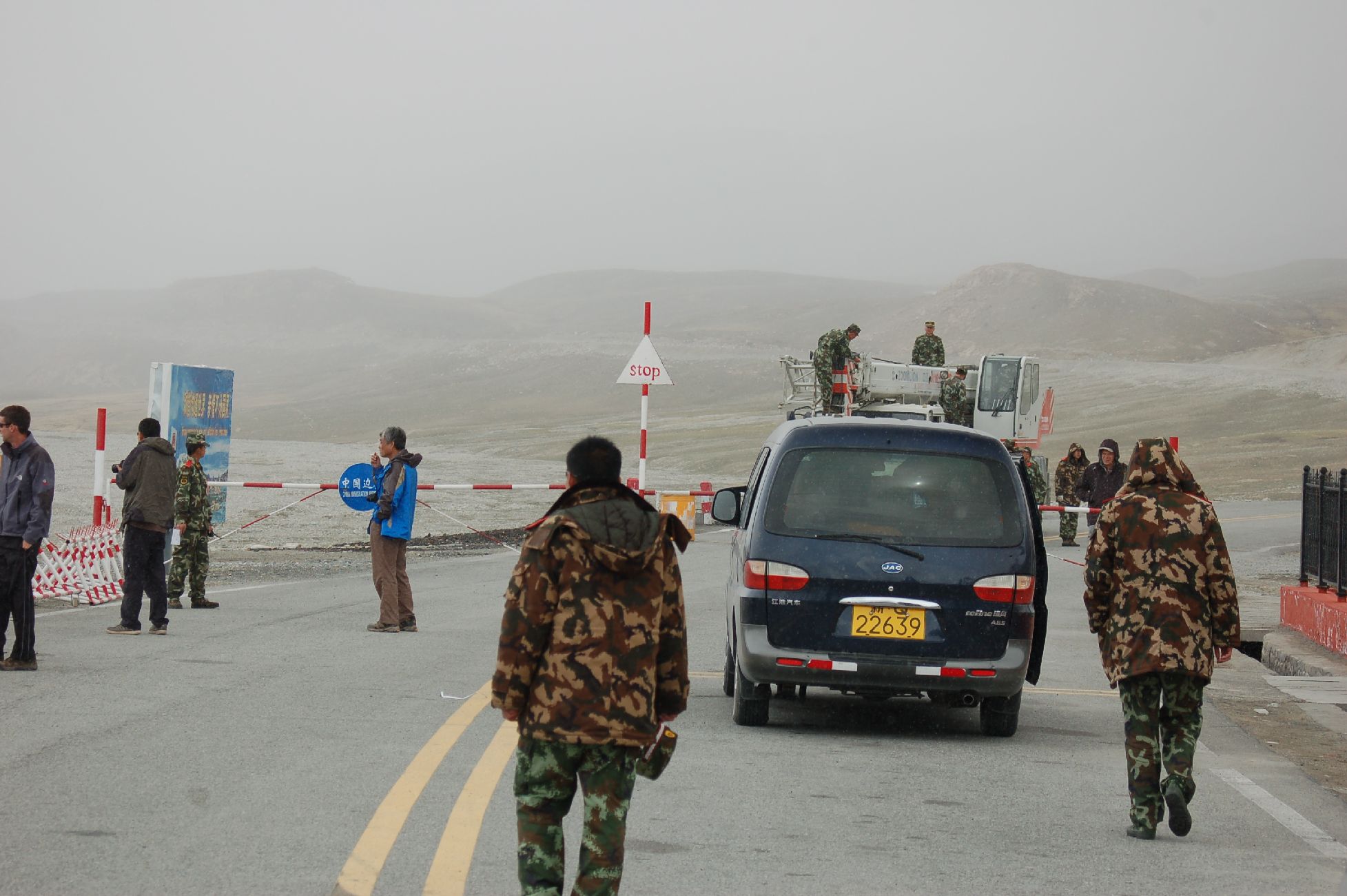
Checkpoint just before Pakistan border 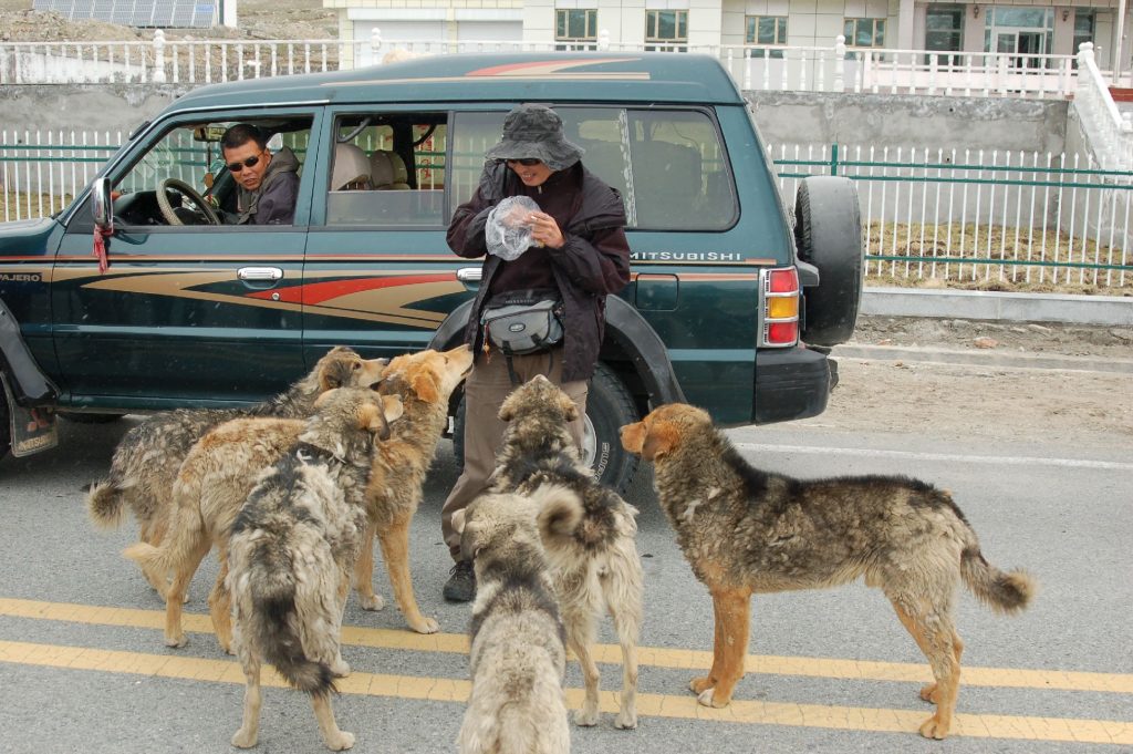
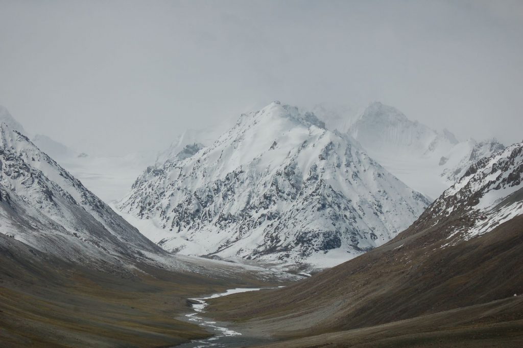

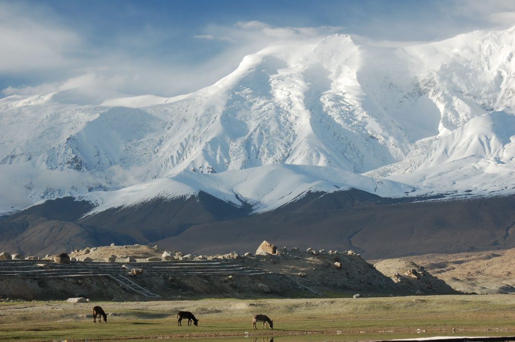
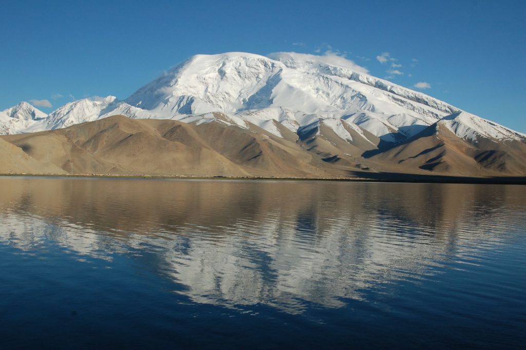
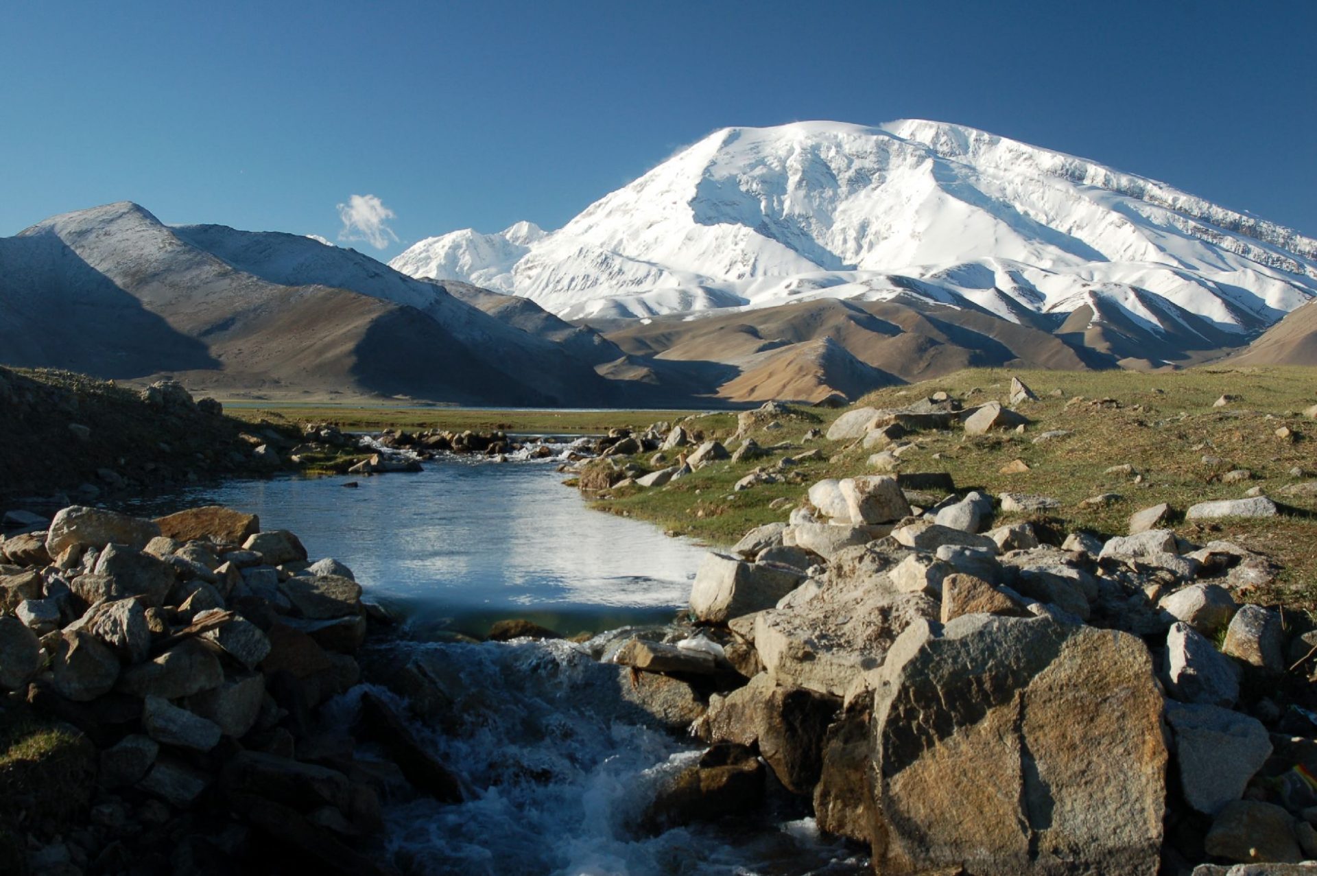
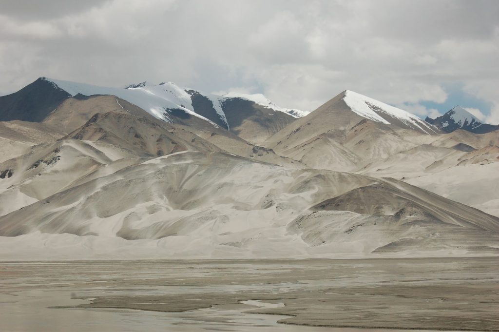
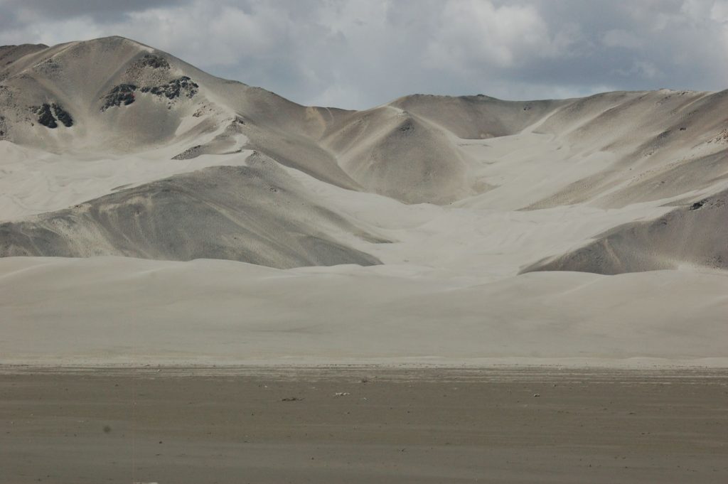
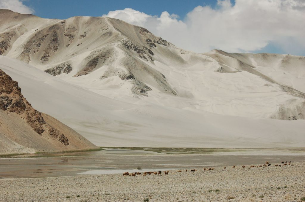
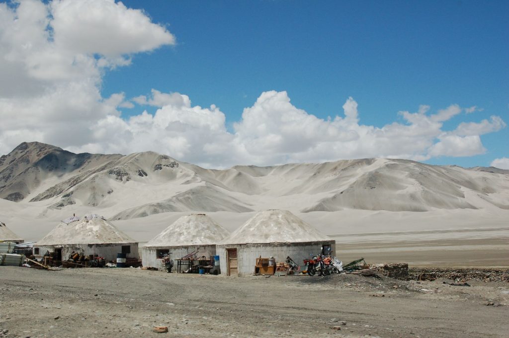
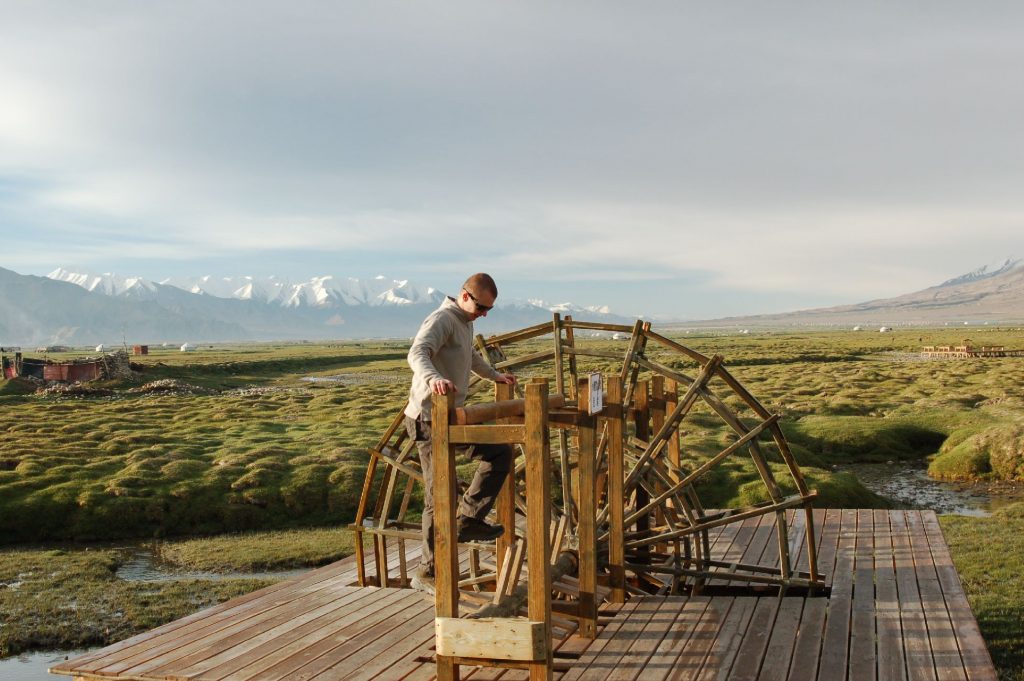
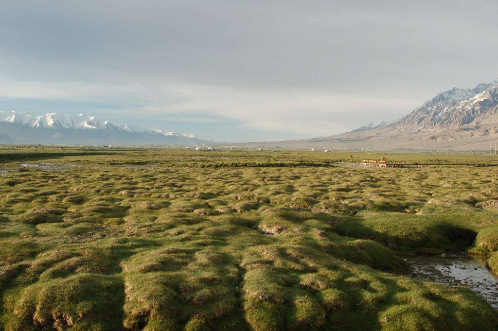
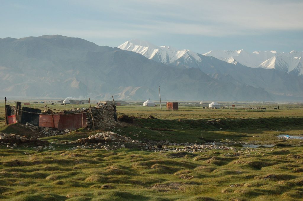
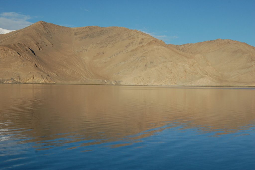
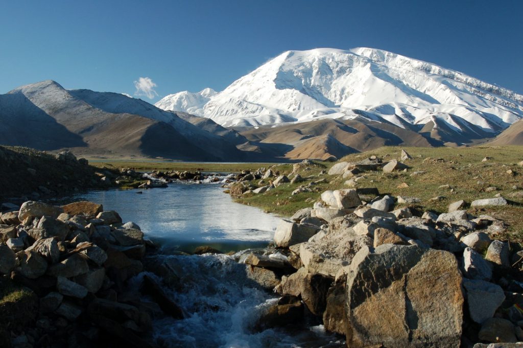
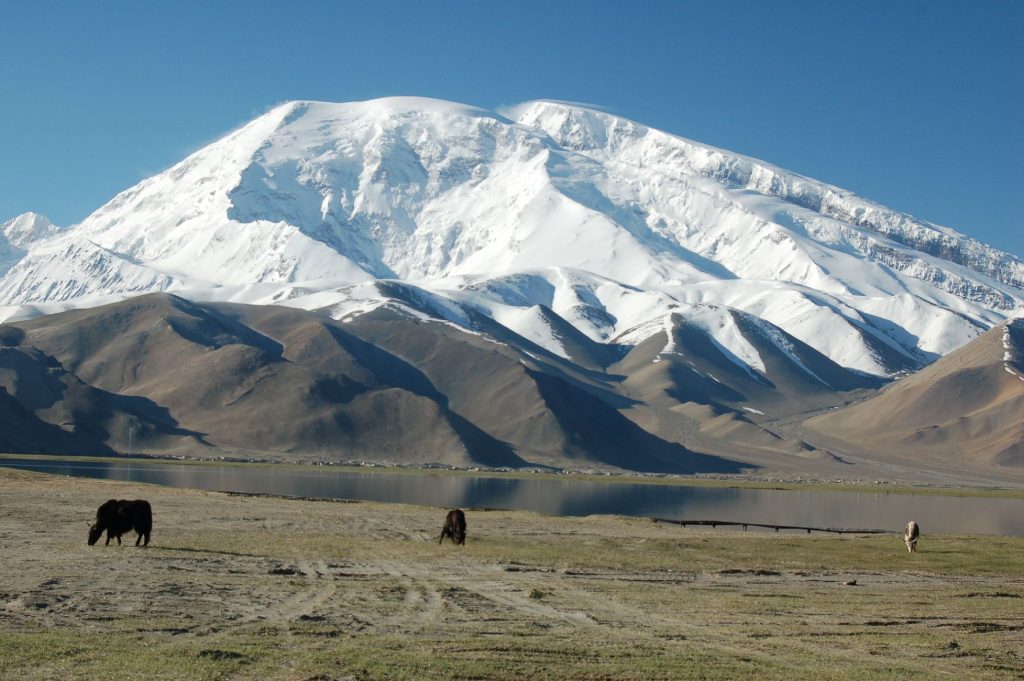
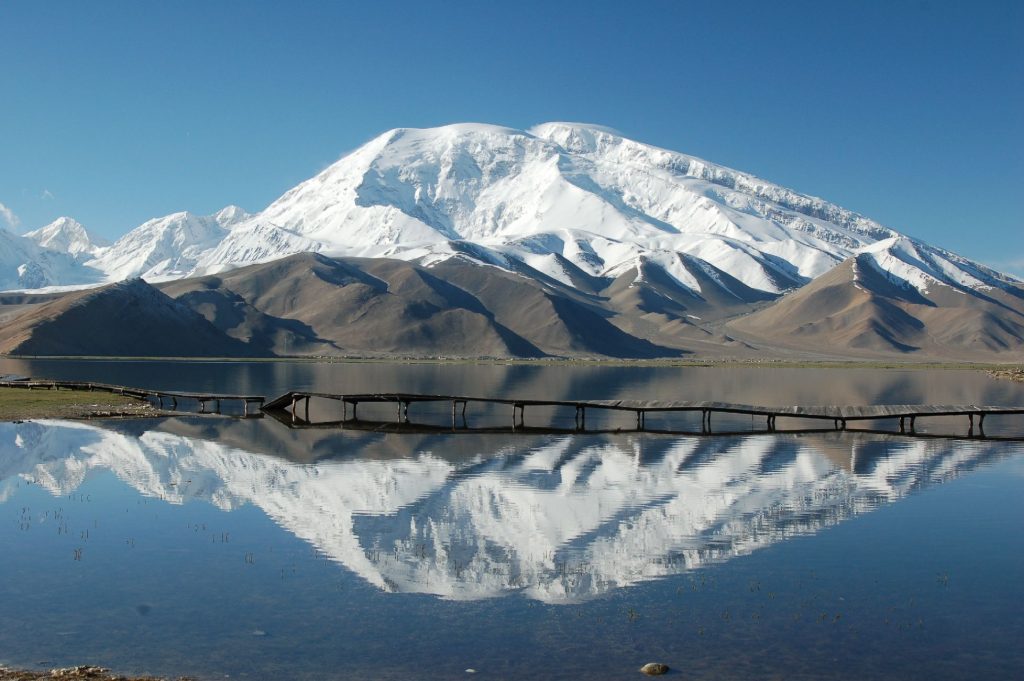
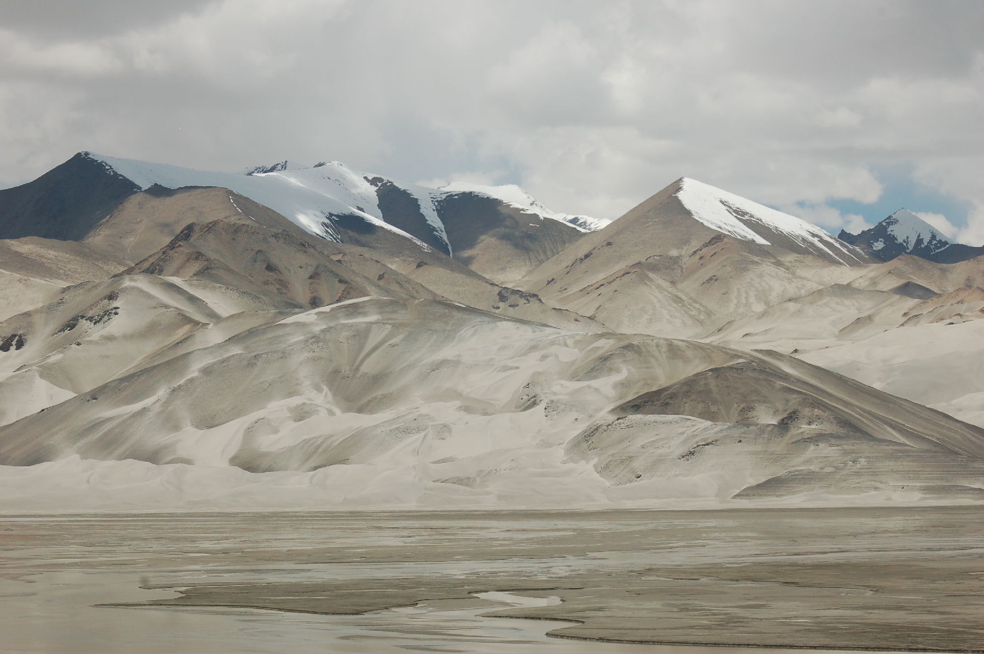
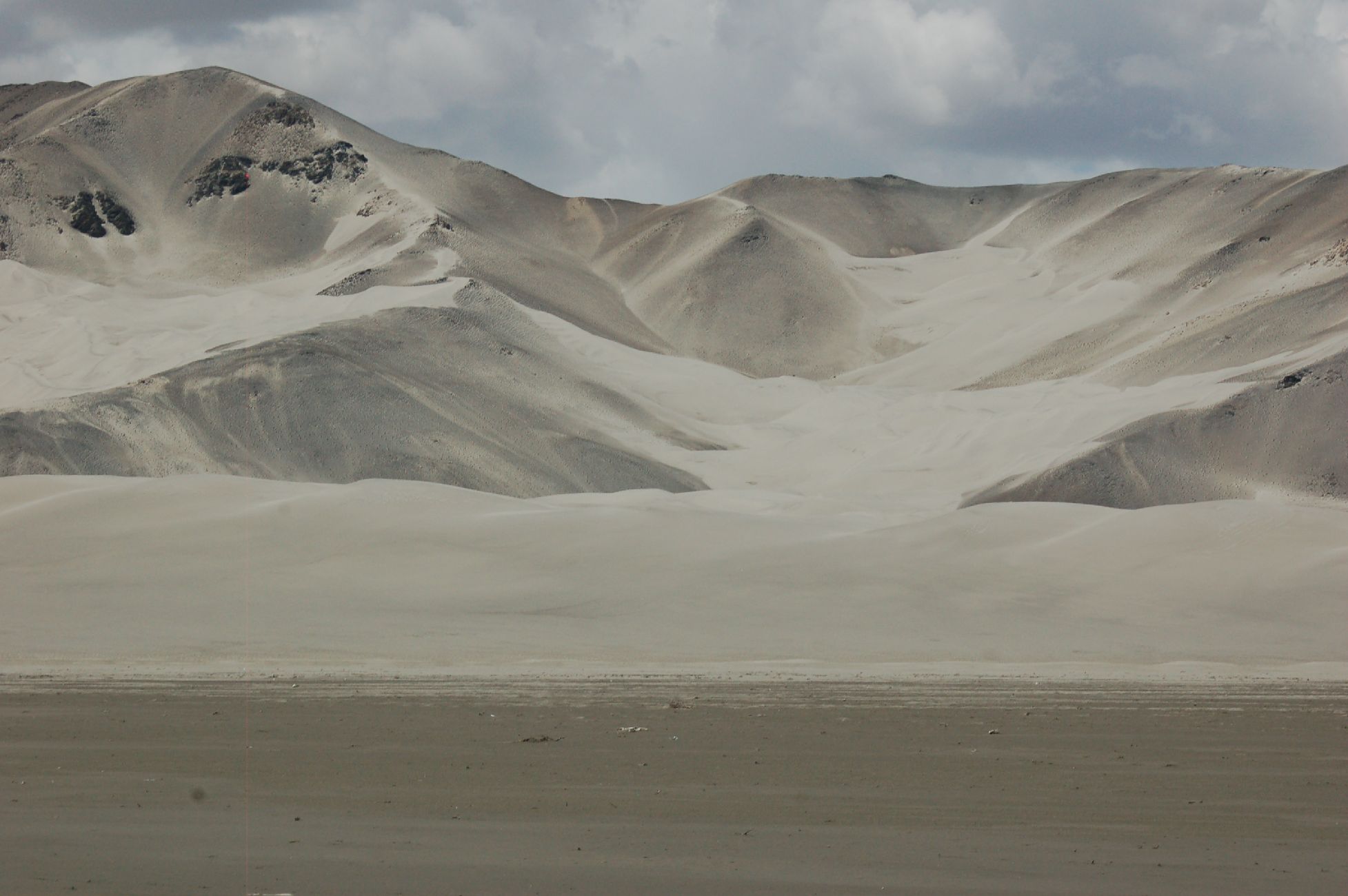
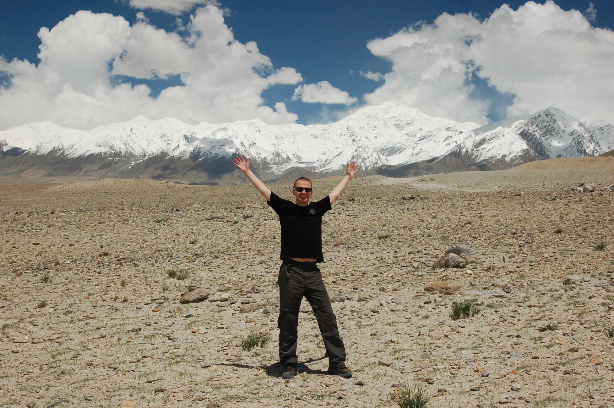
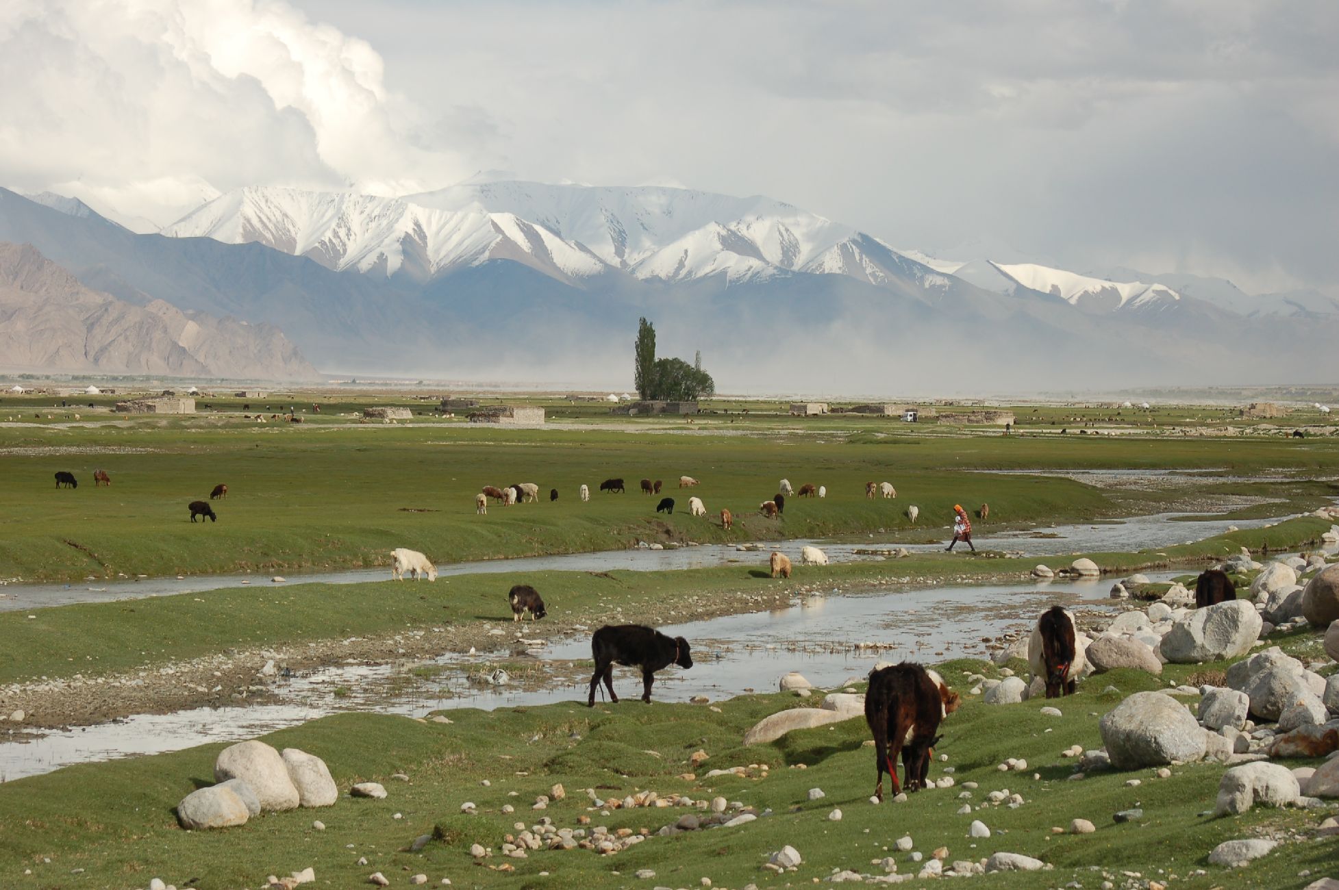
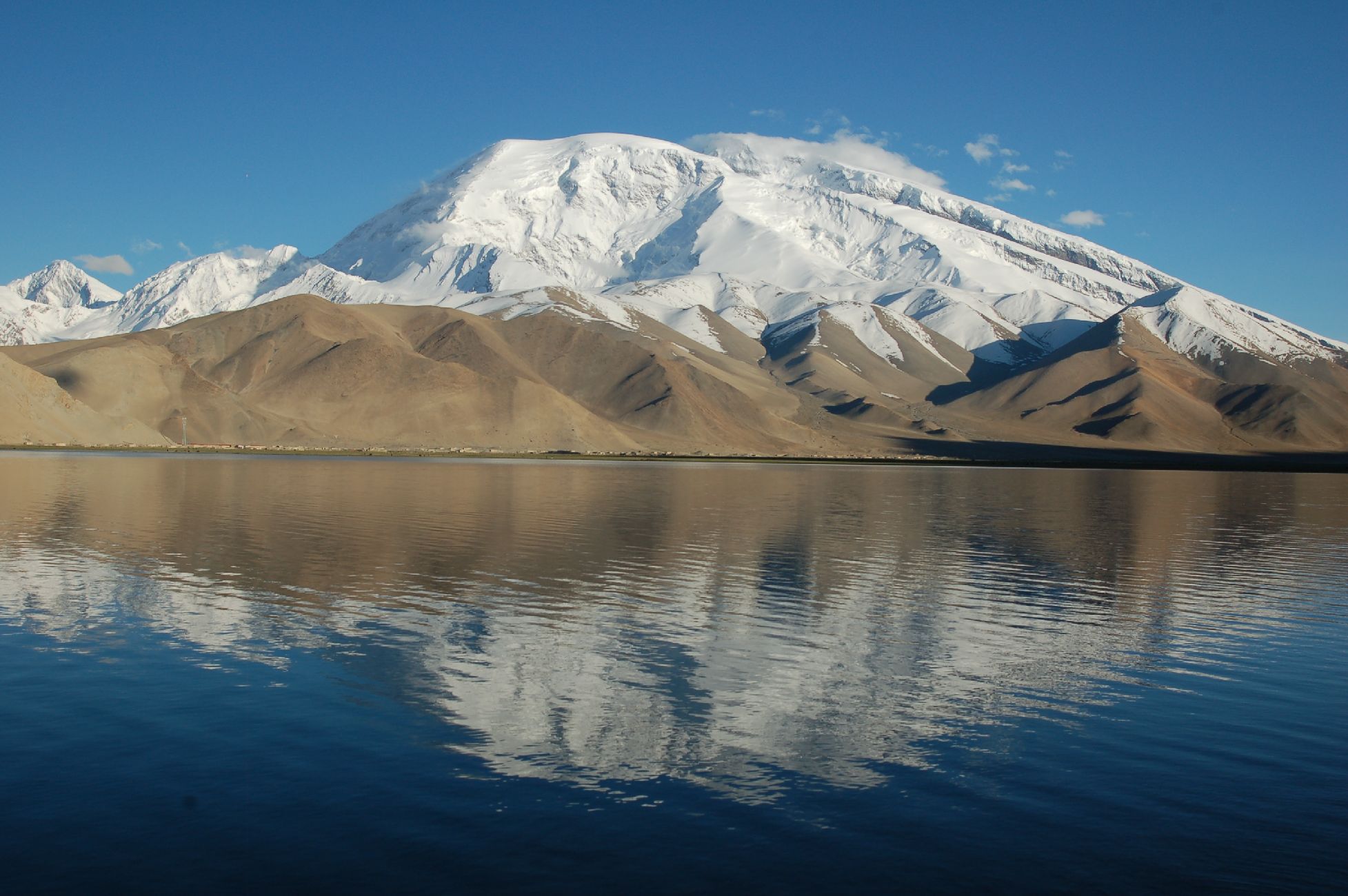
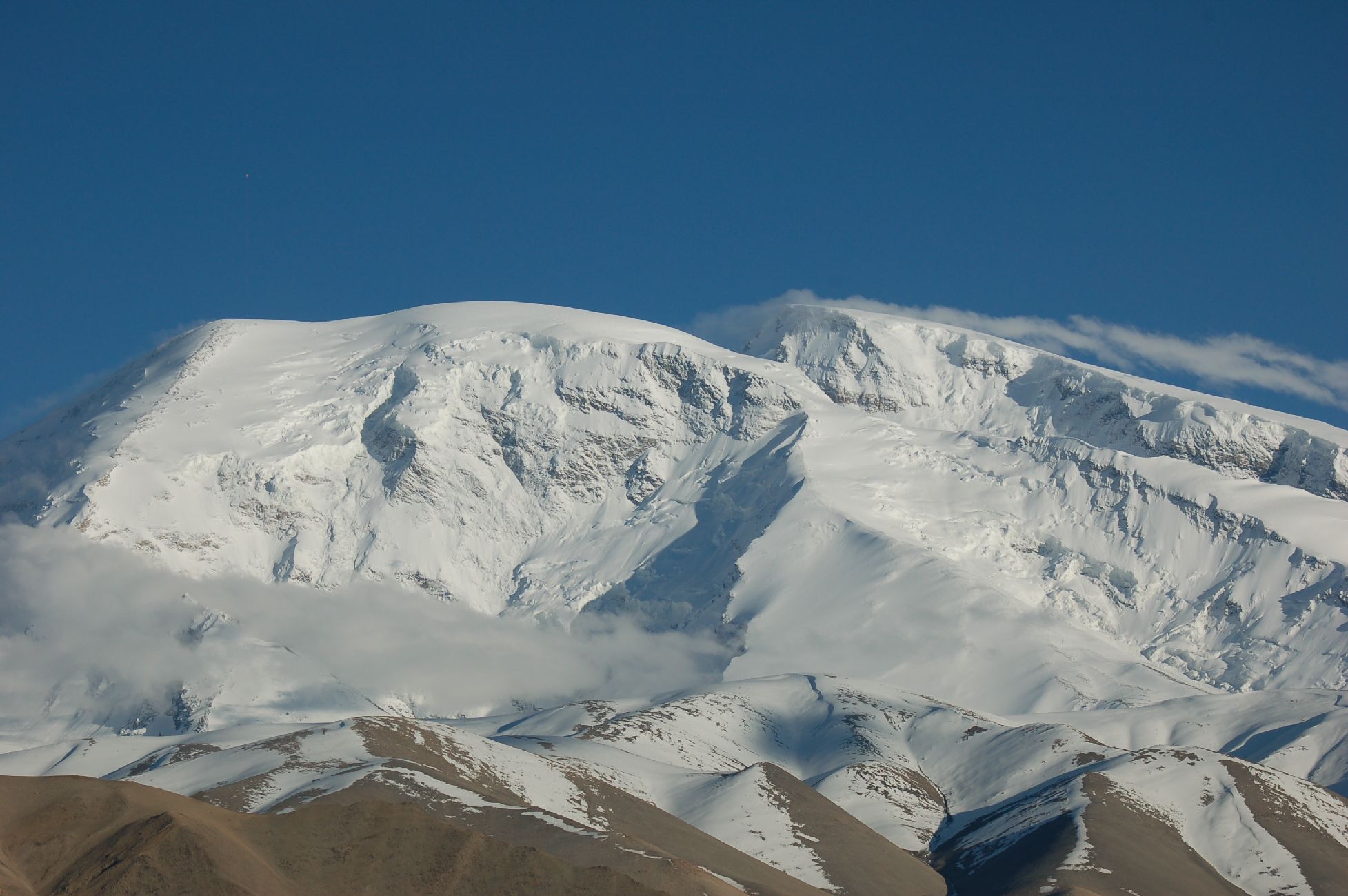
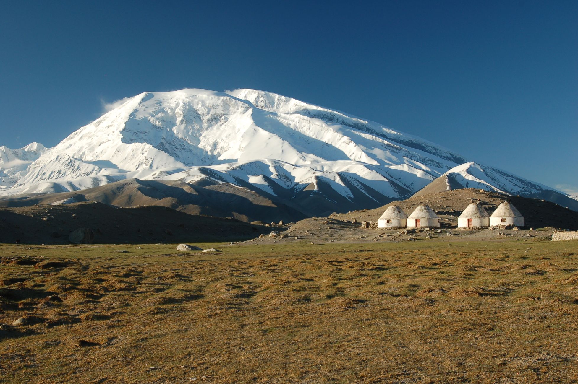
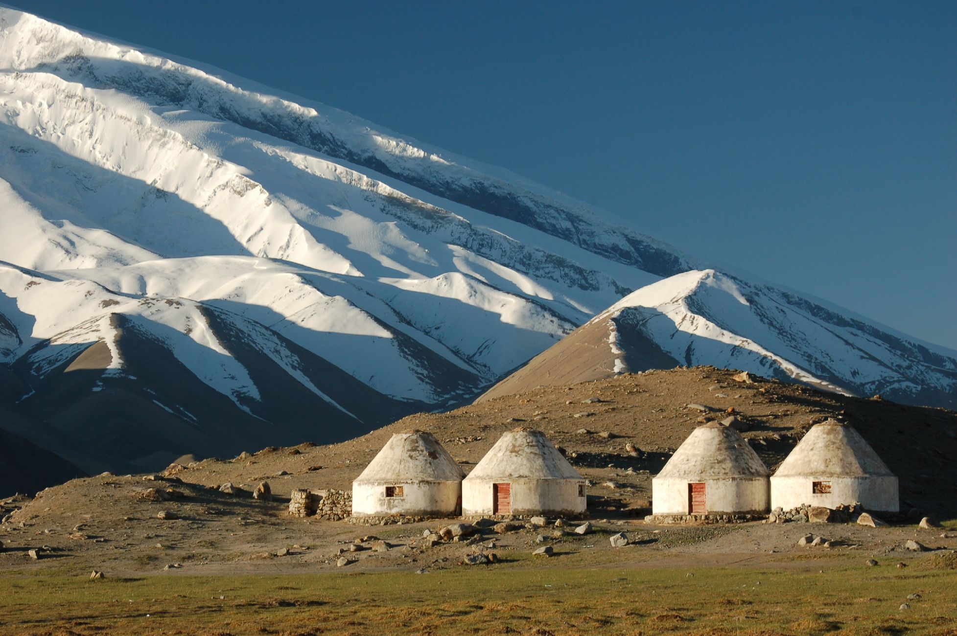
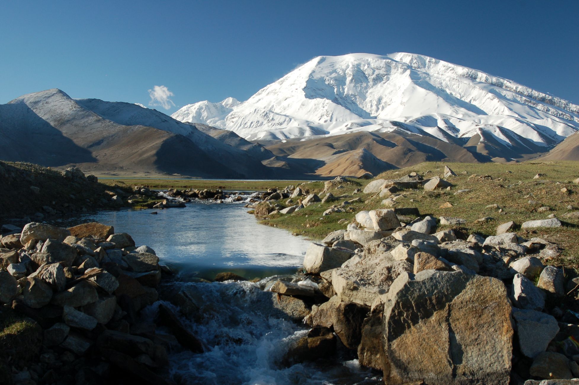
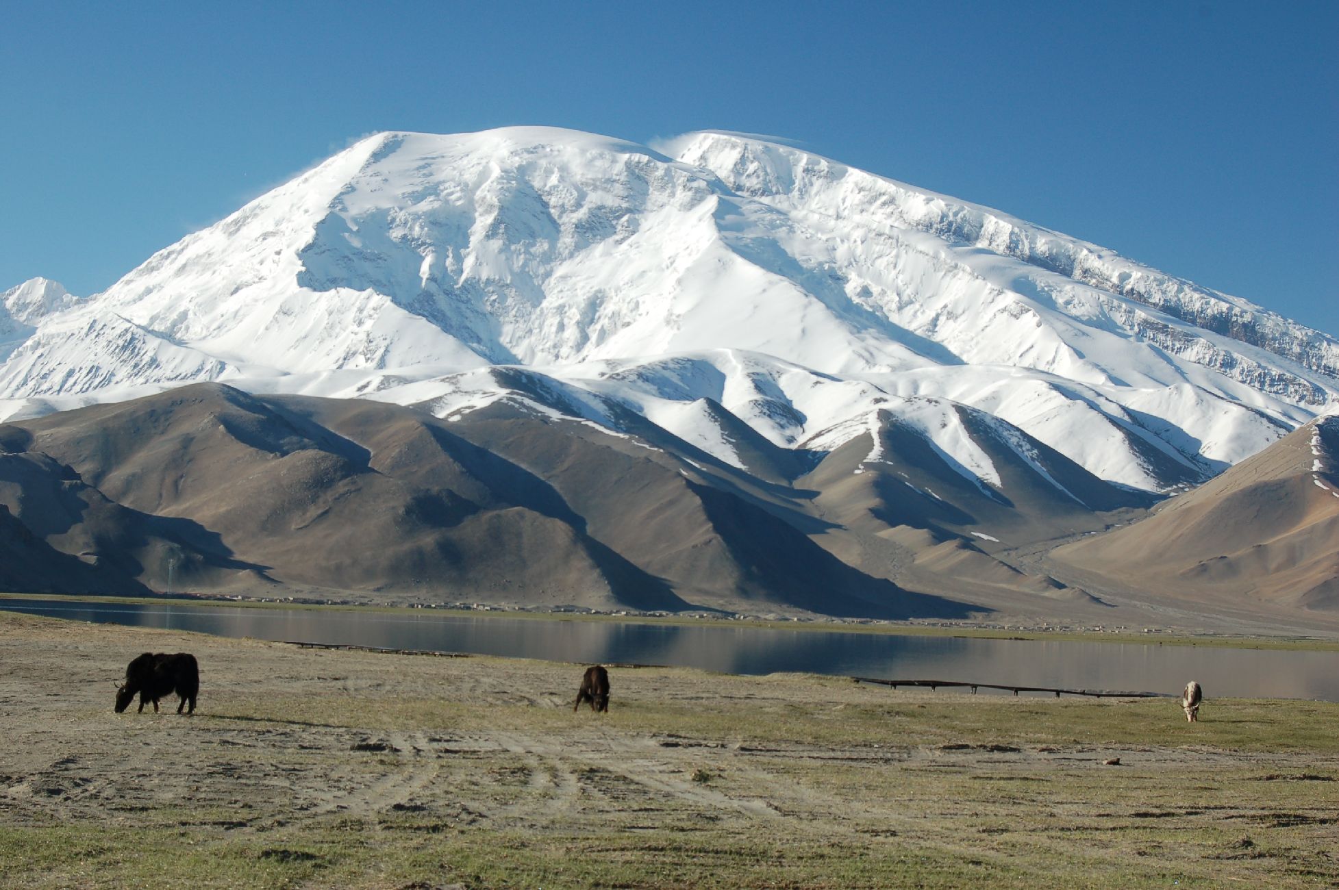
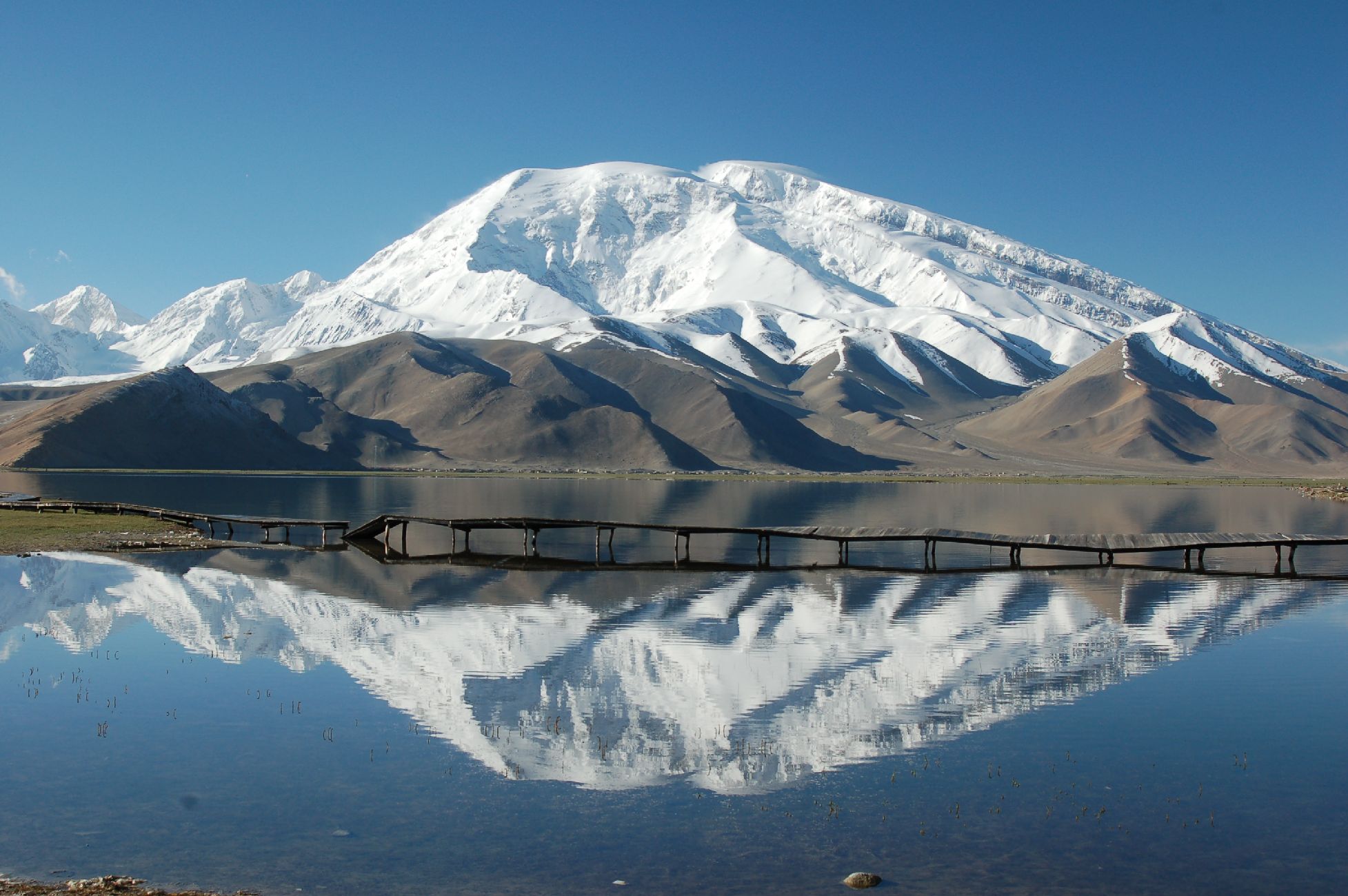
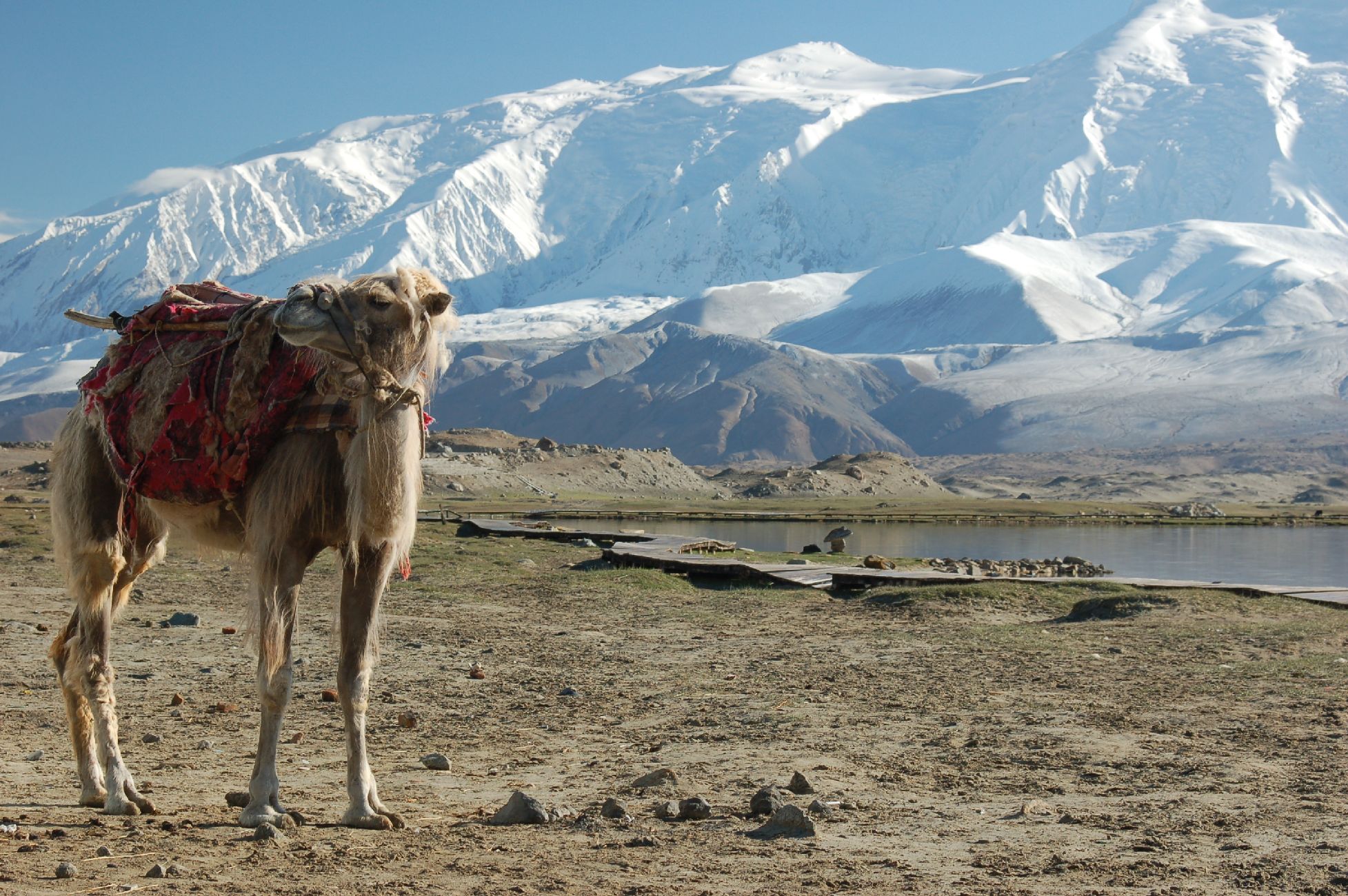
Muztagh Ata (7,509m) 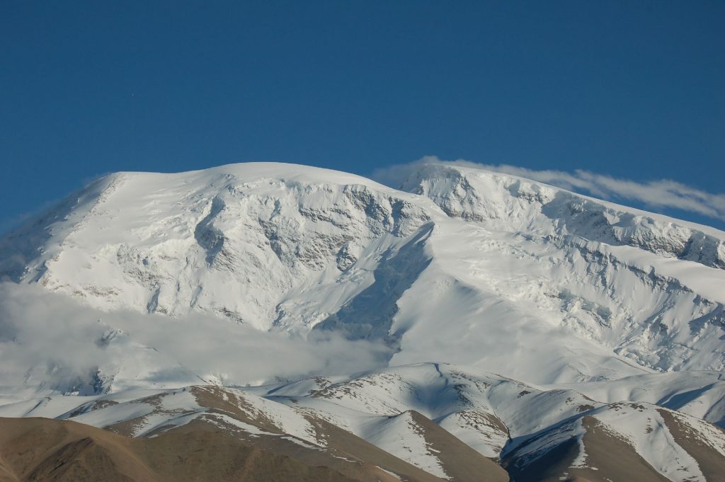


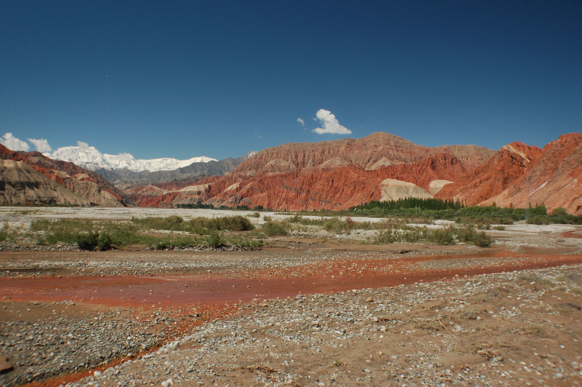


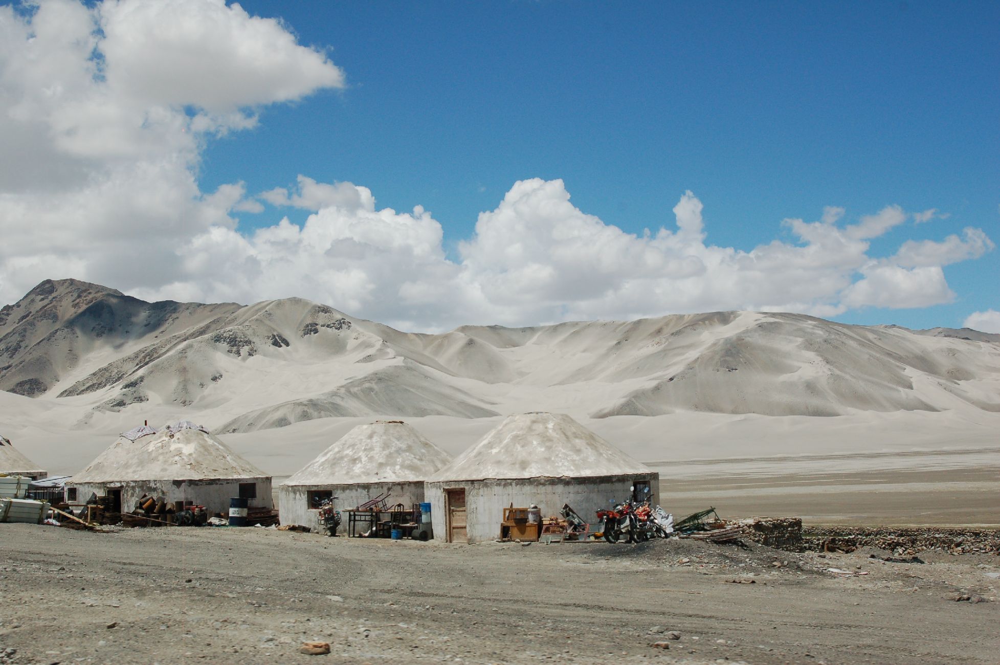


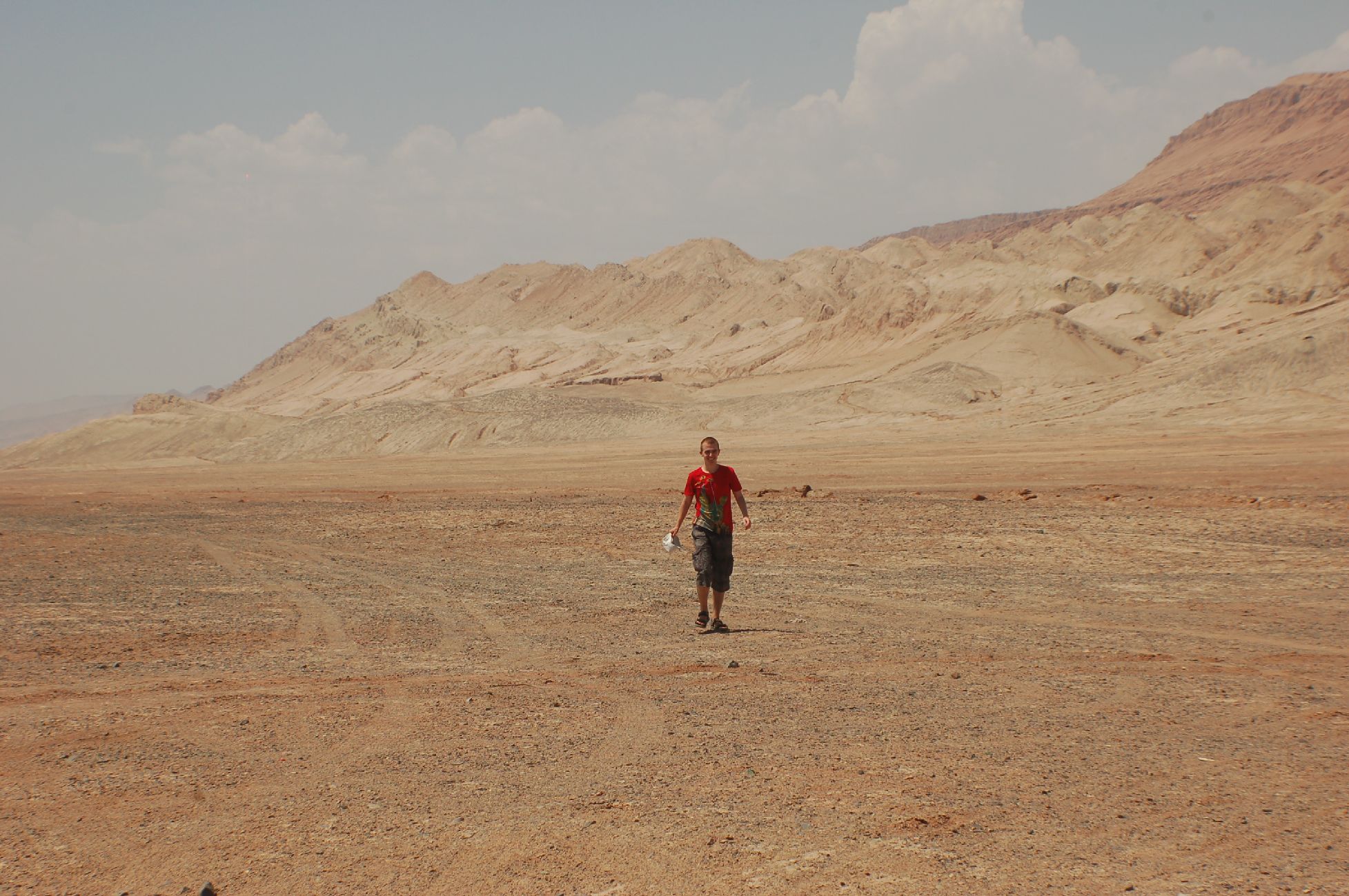
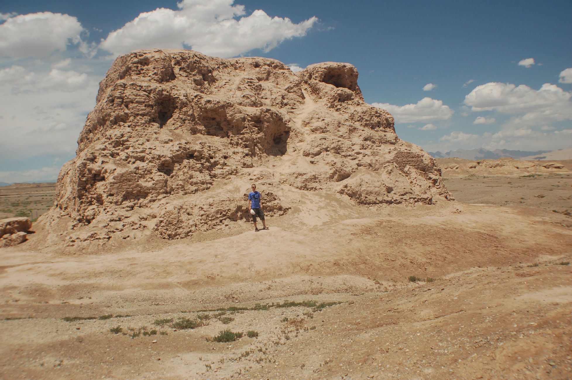
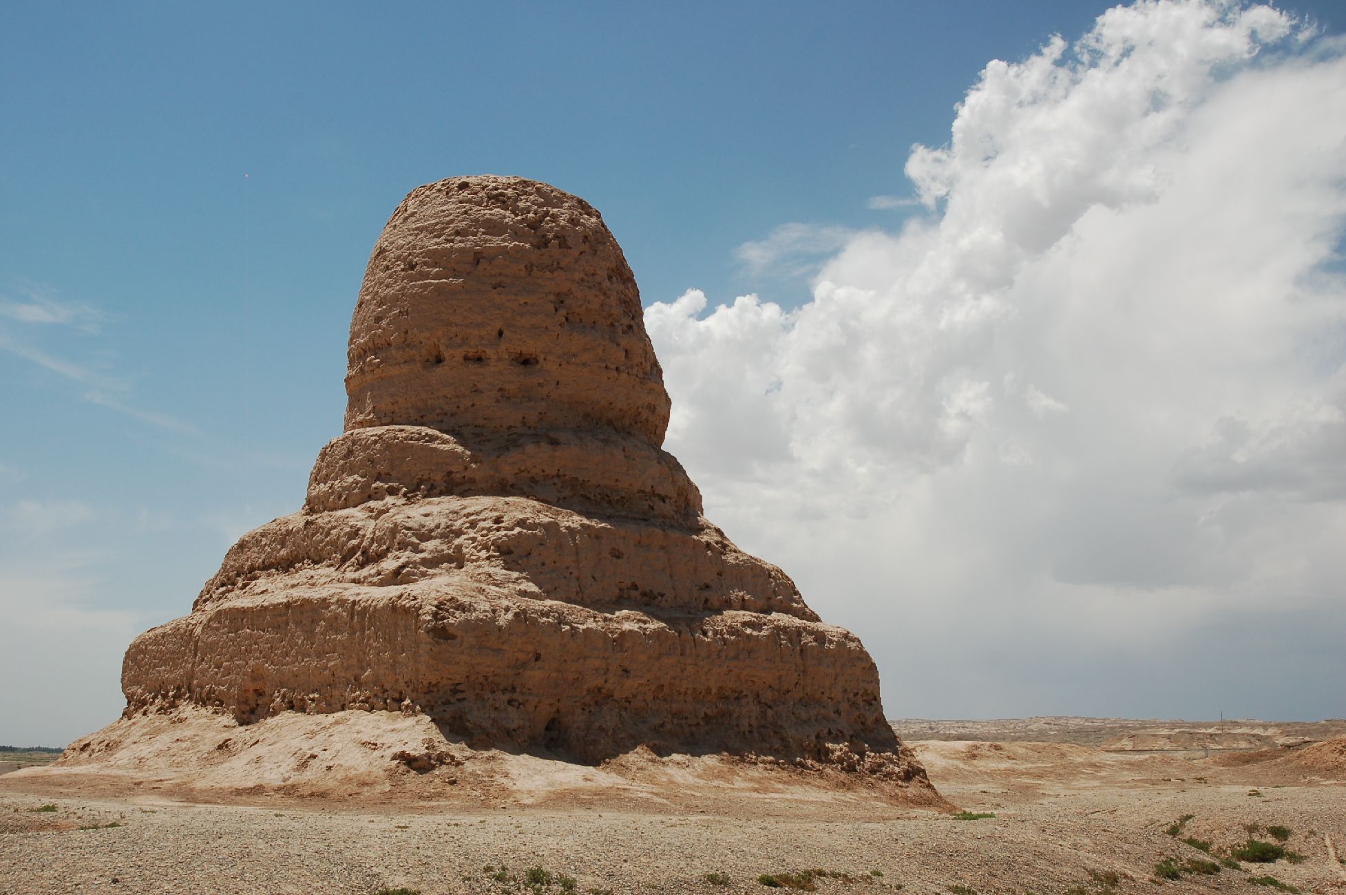
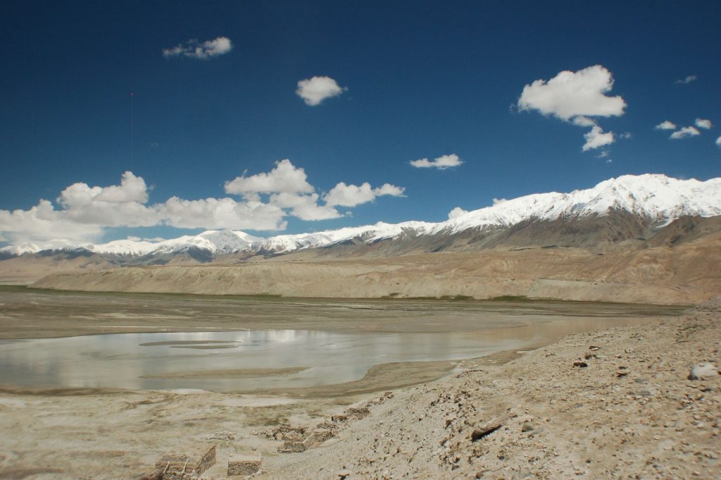
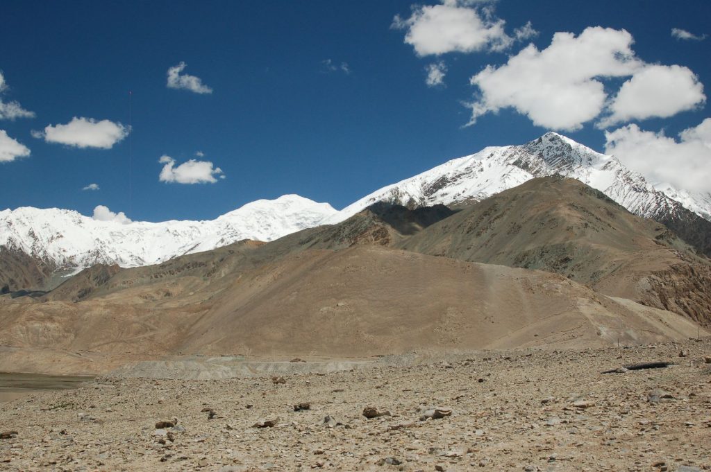
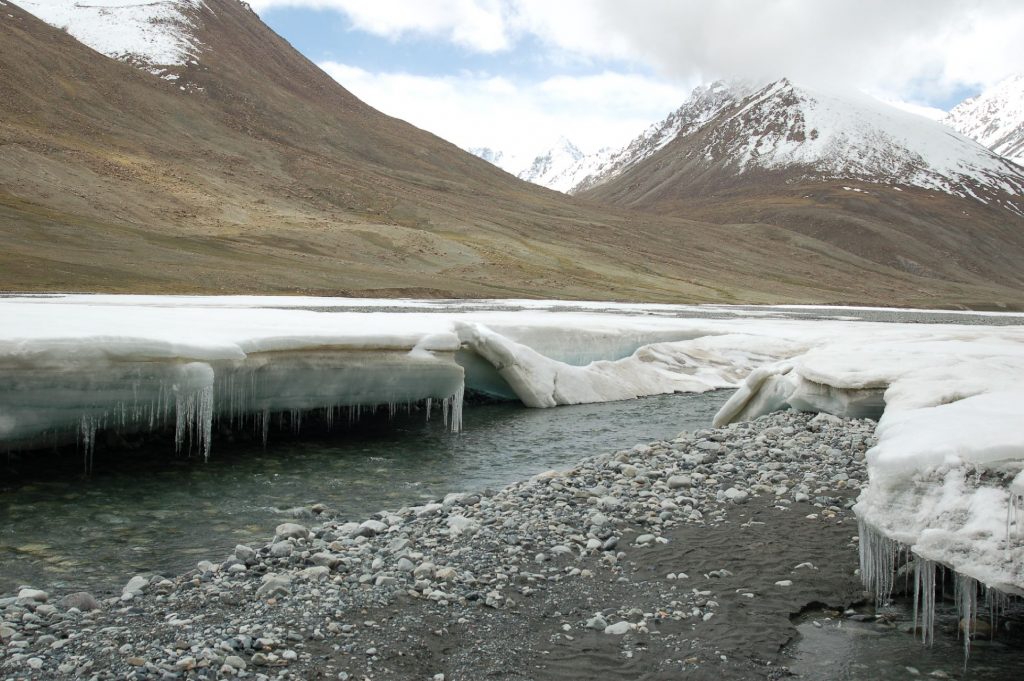
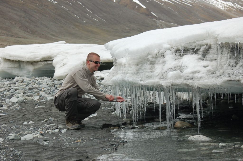
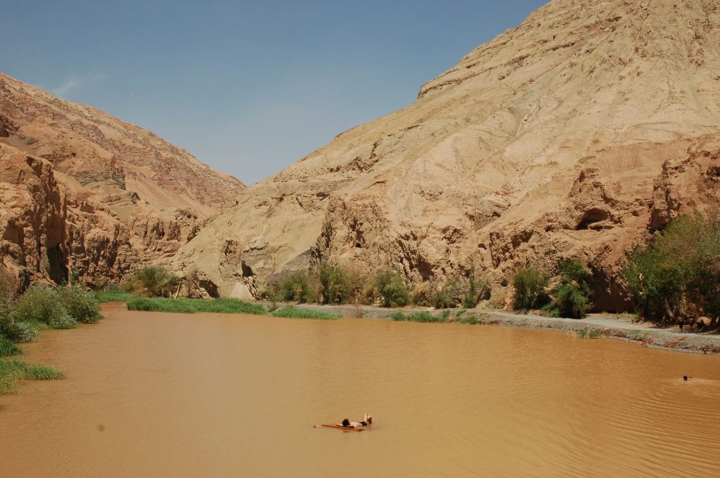
Silk Road
A couple of days traveling East along the Southern Silk Road route before veering off North and crossing the Taklamakan desert towards Urumqi and Turpan
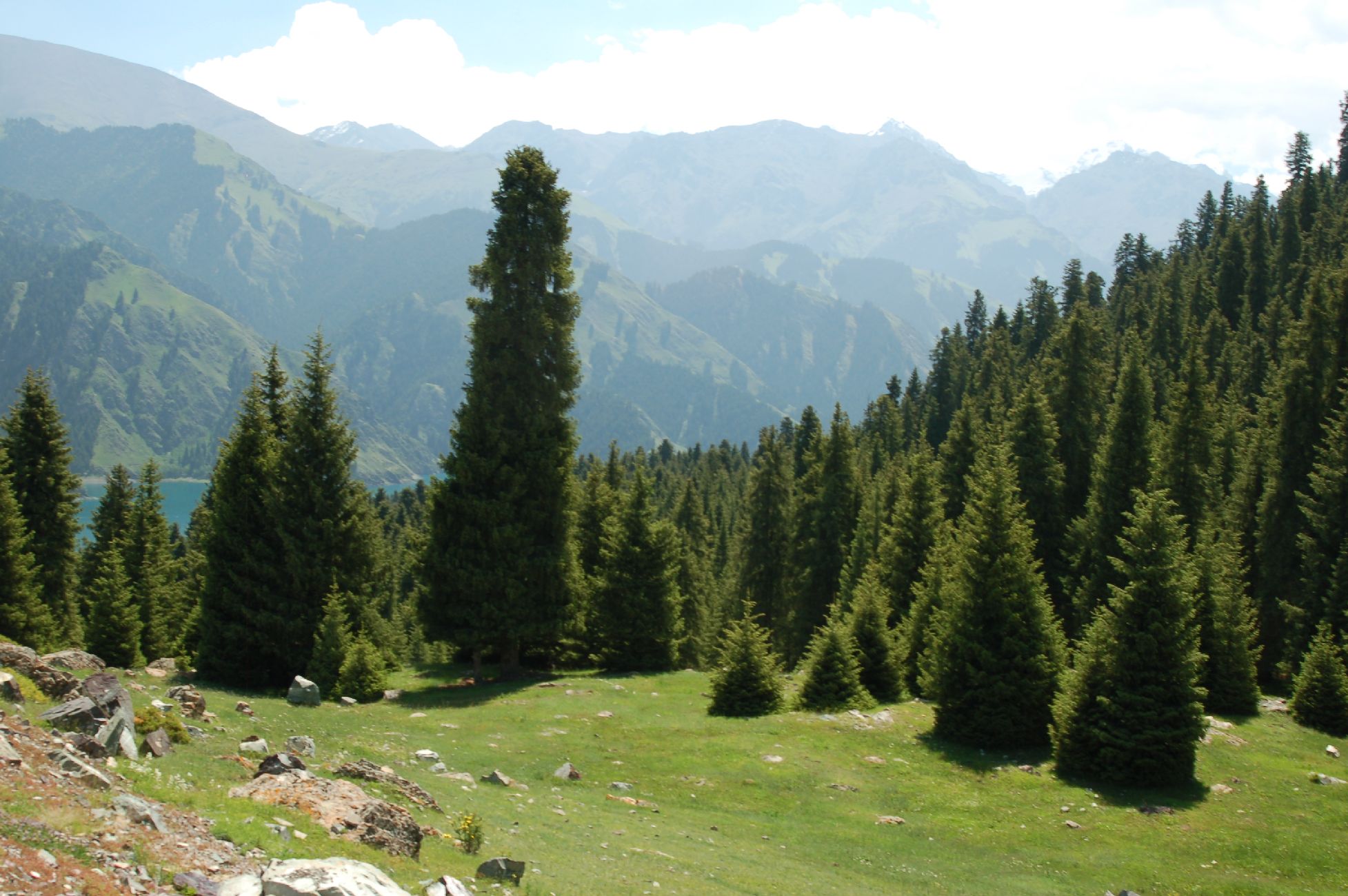
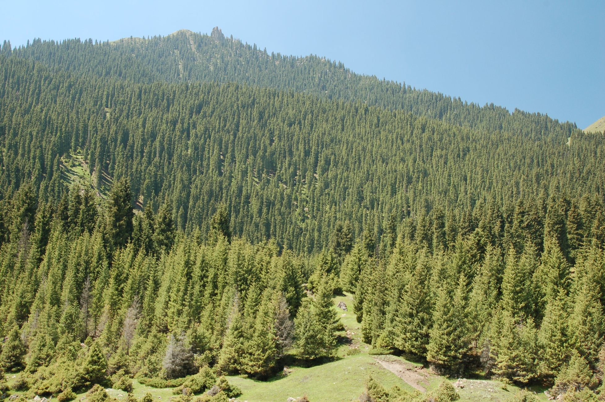
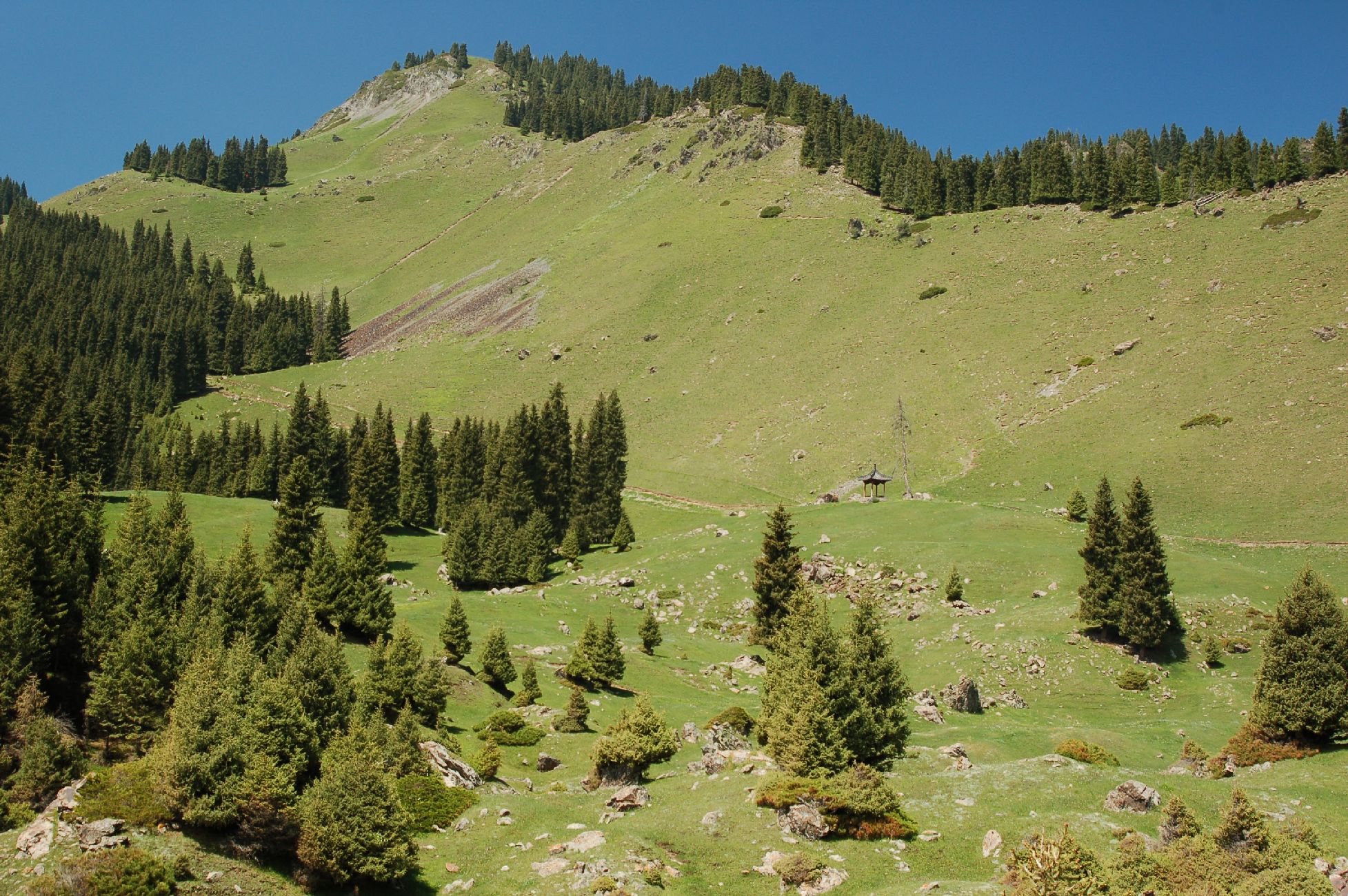
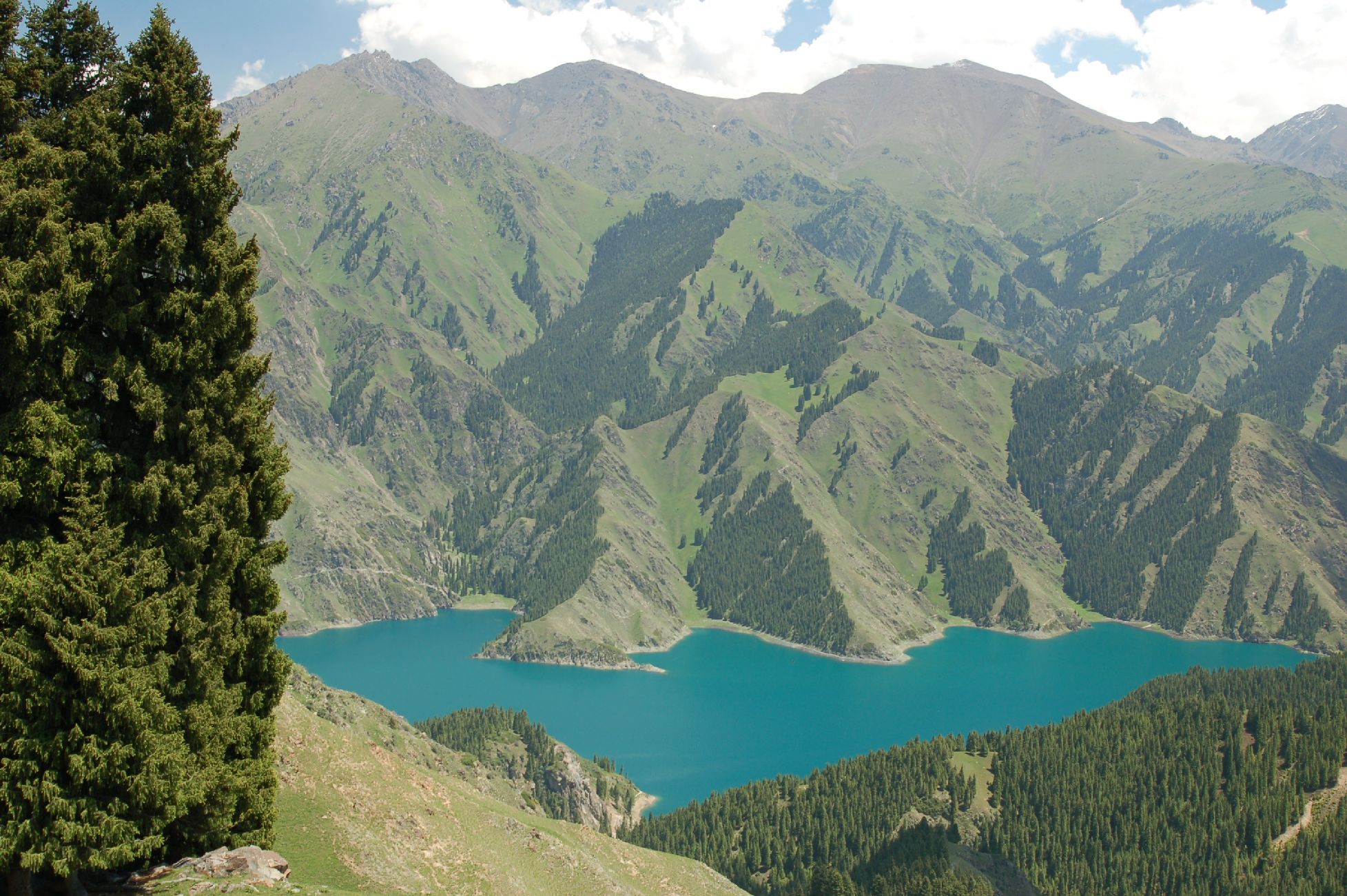
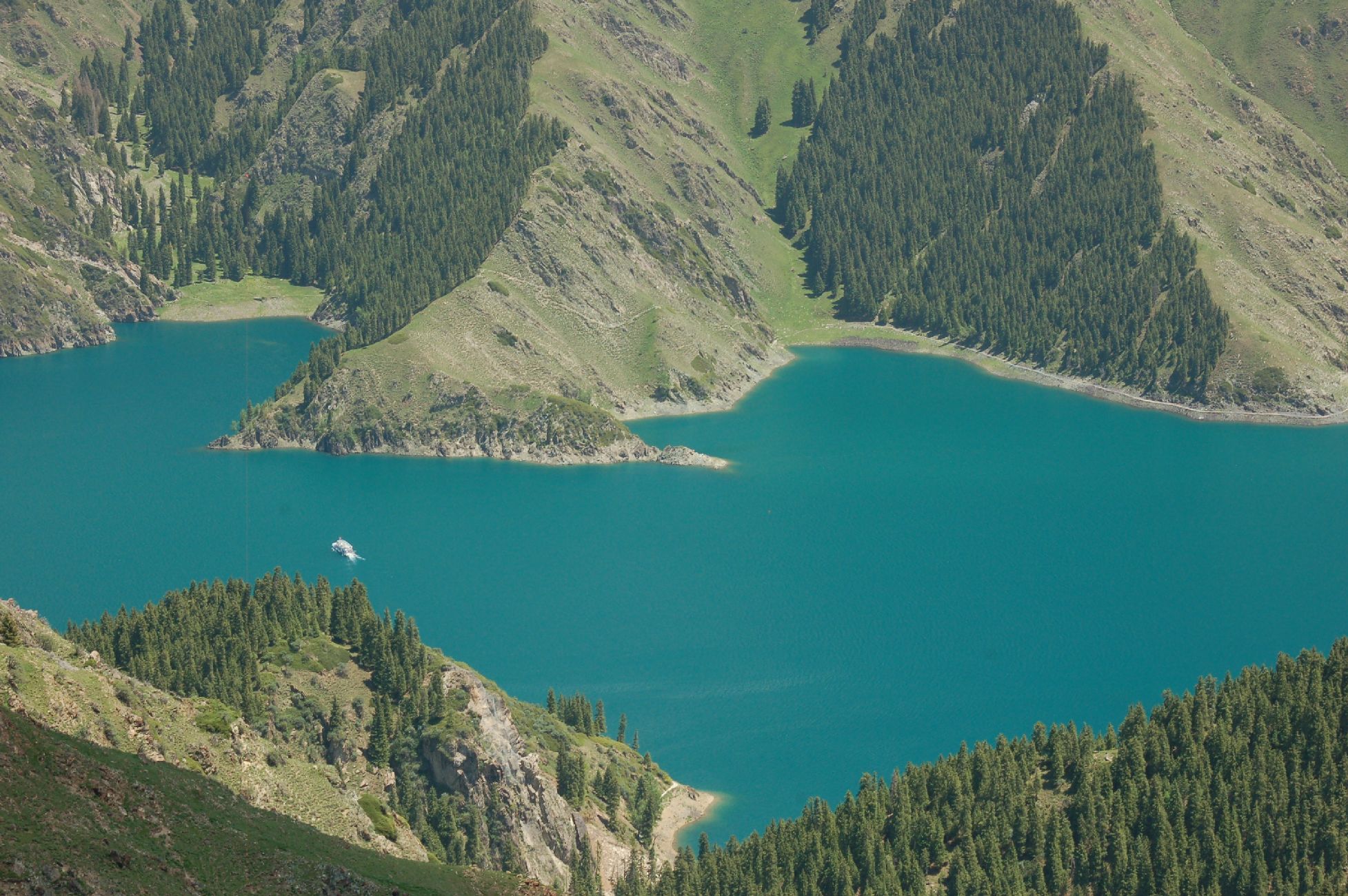
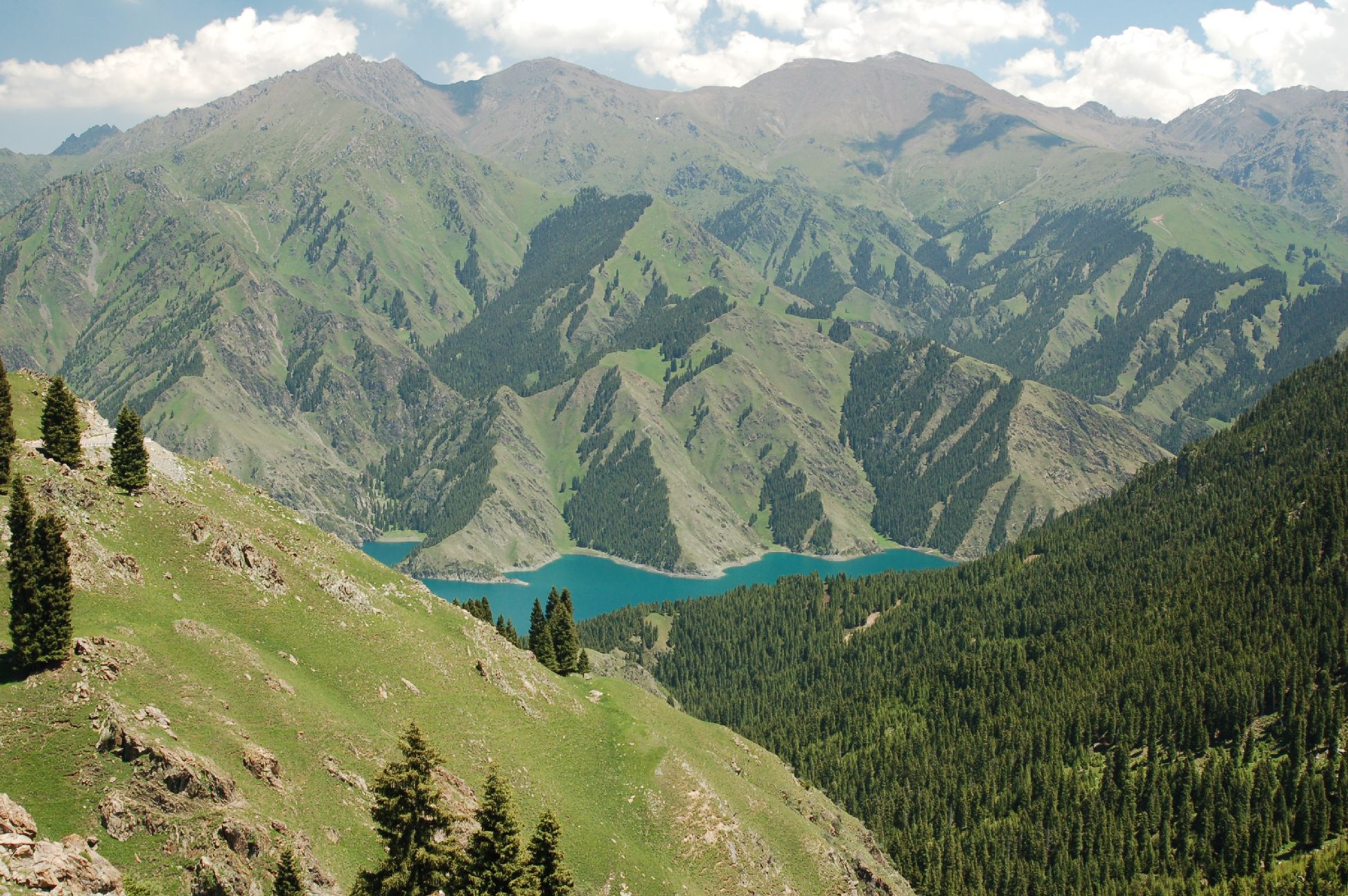
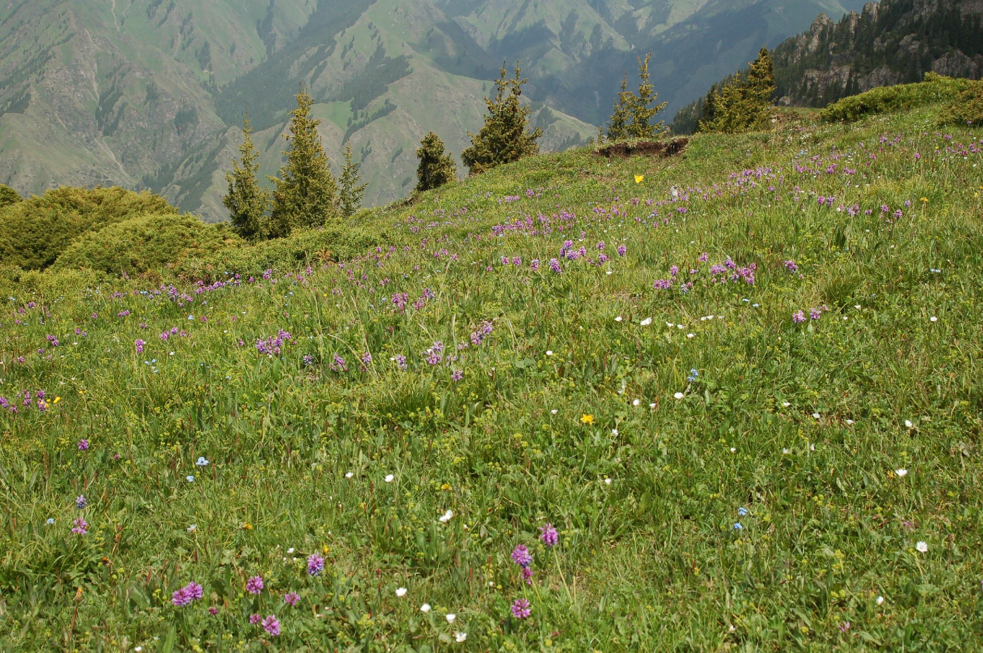
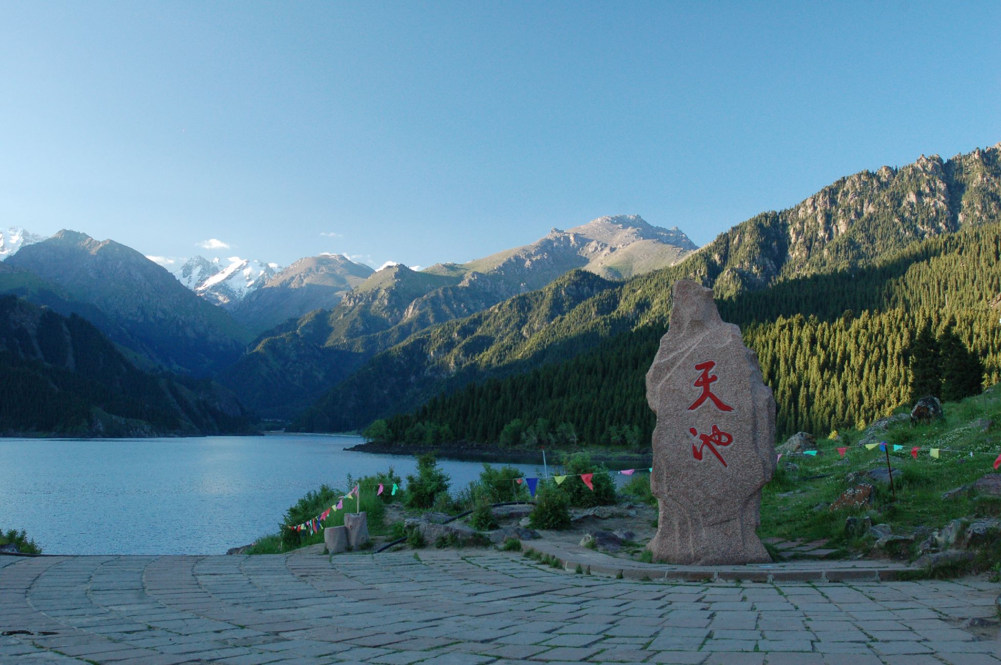
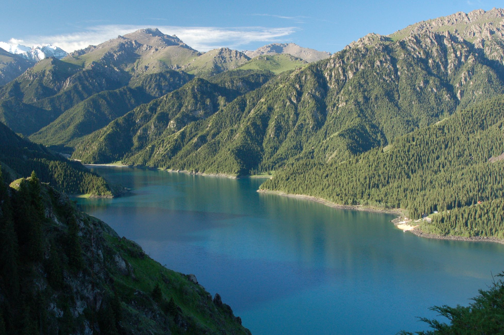
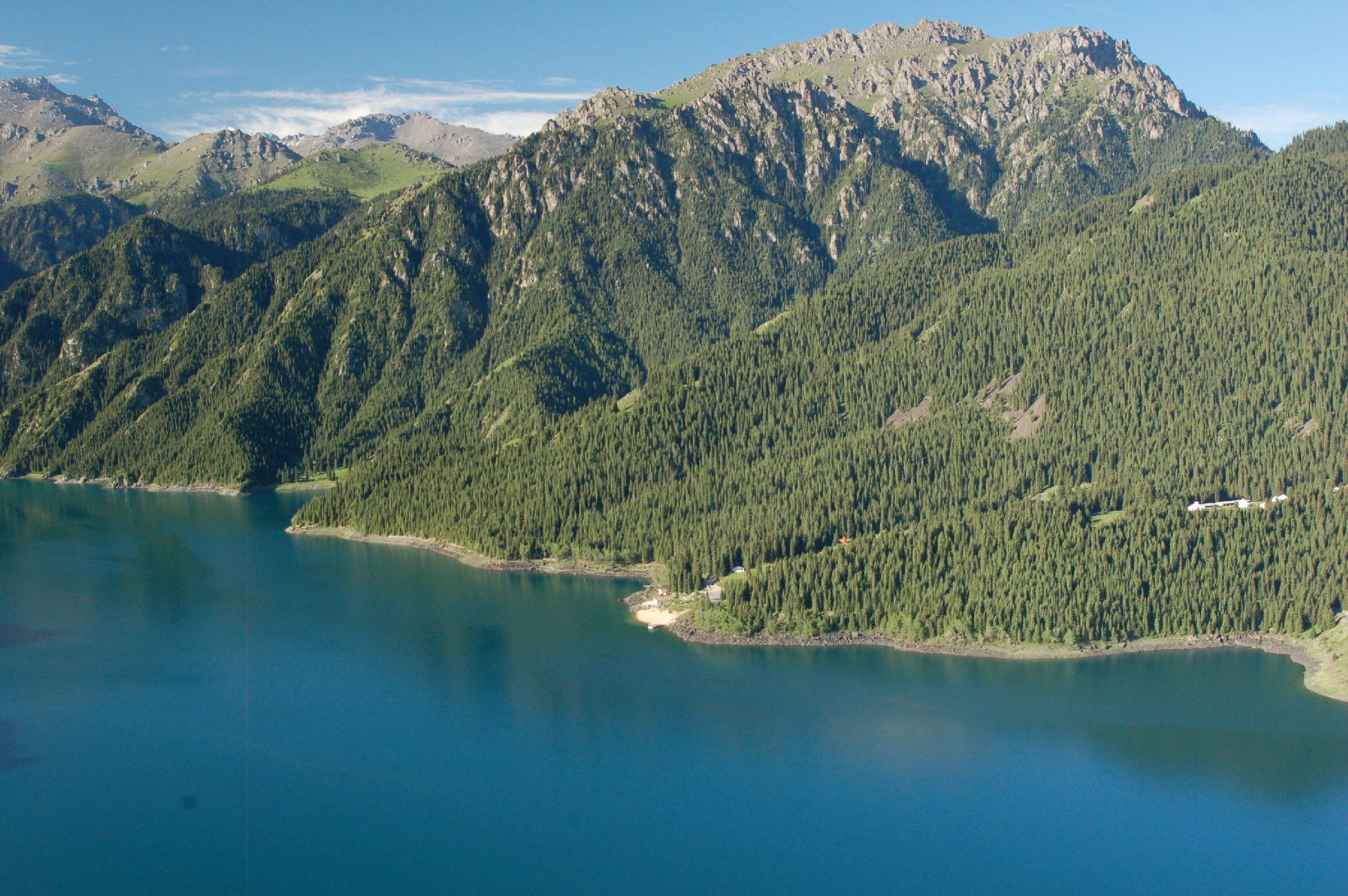
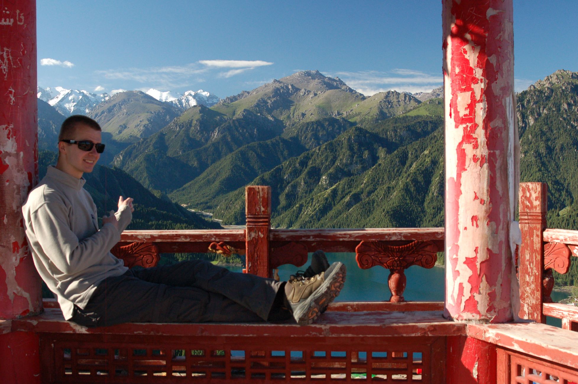
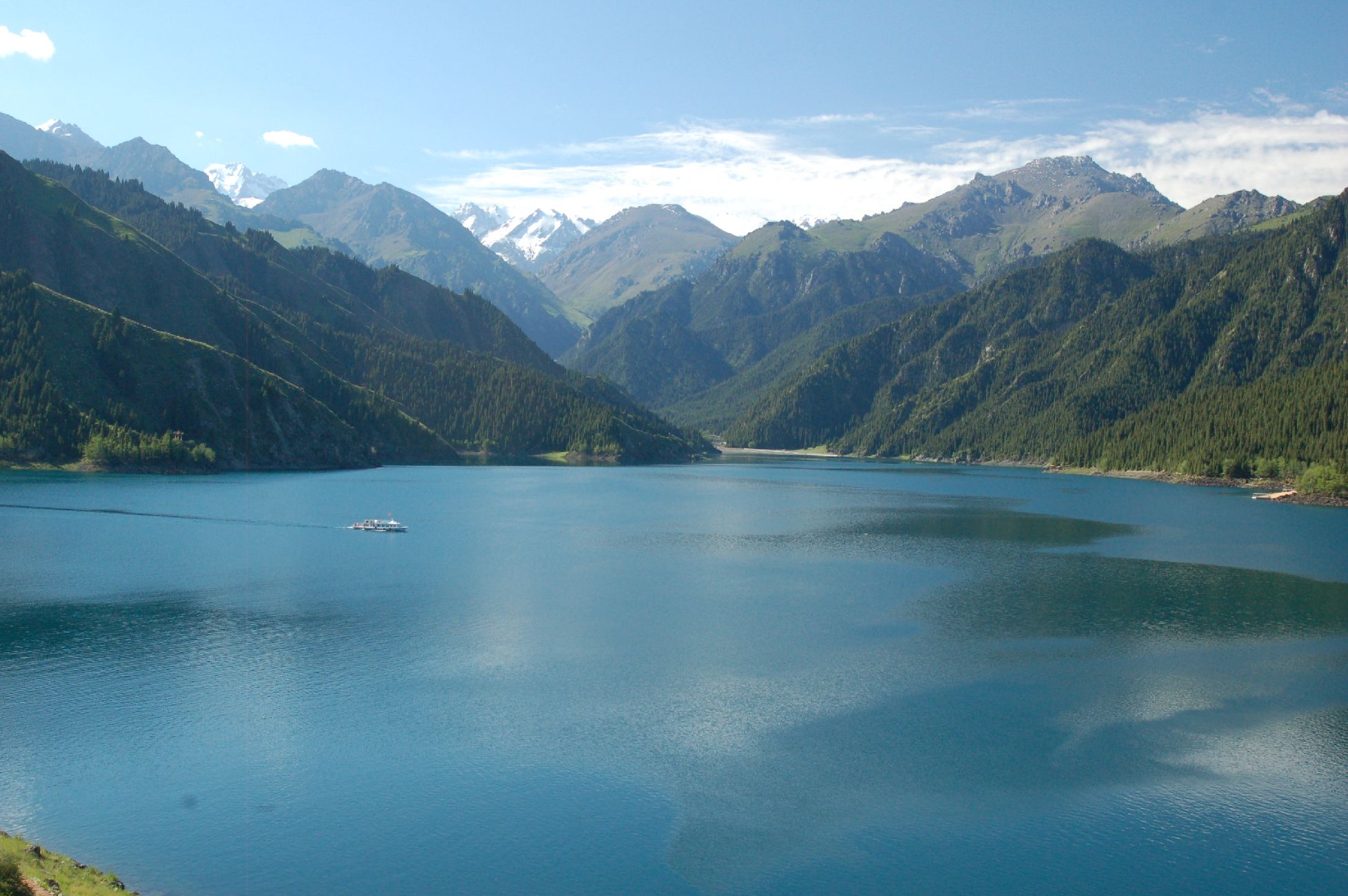
Tianchi
The scenery in the North of Xinjiang is completely different from the deserts of the South. It could well be Austria or Switzerland
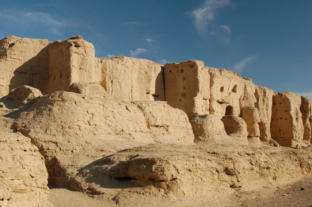
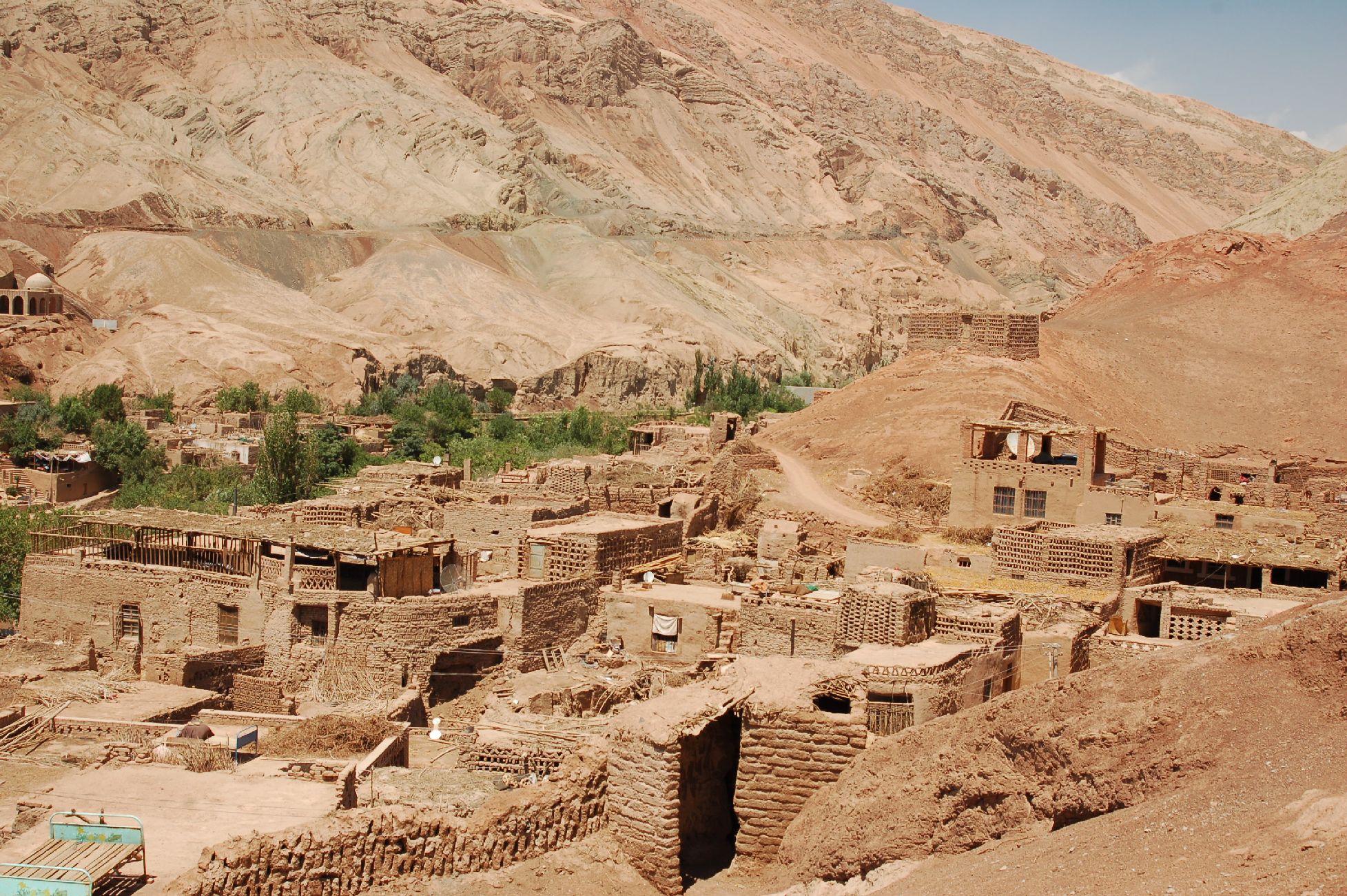
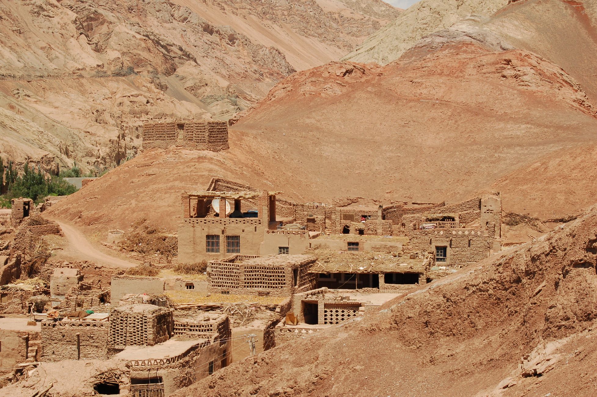
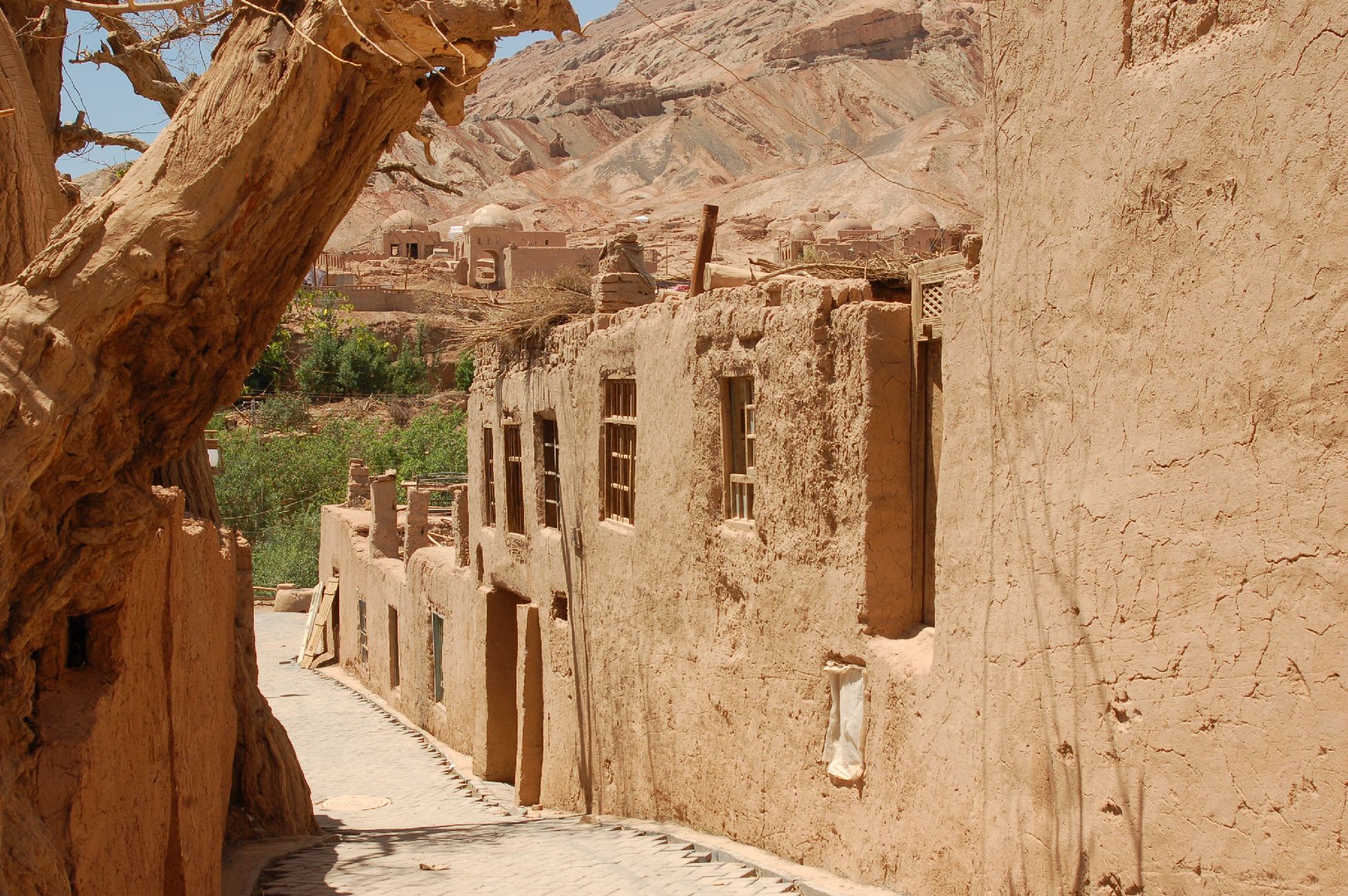
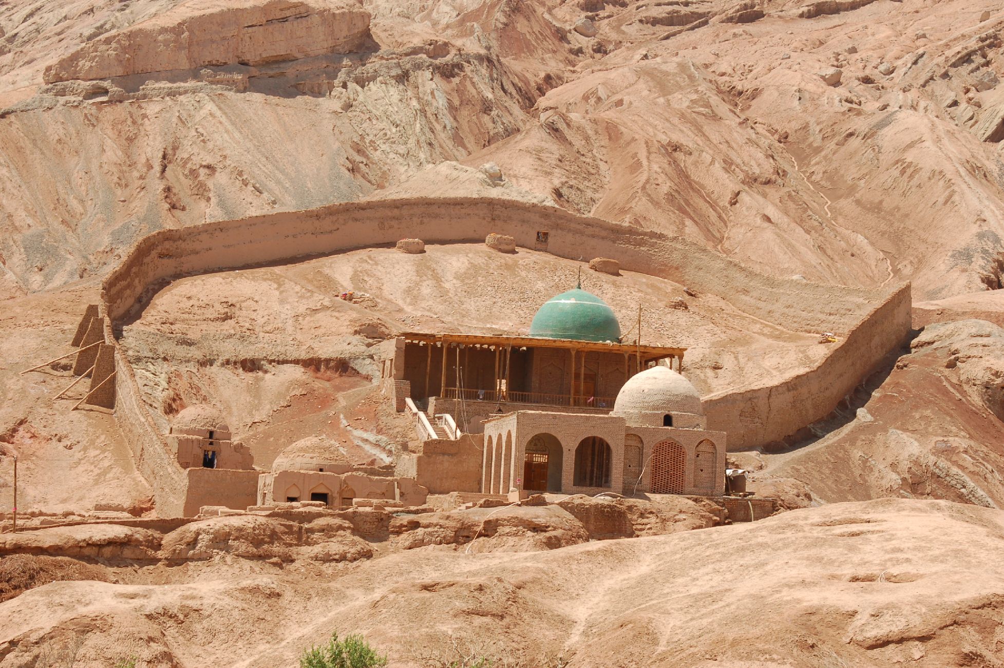
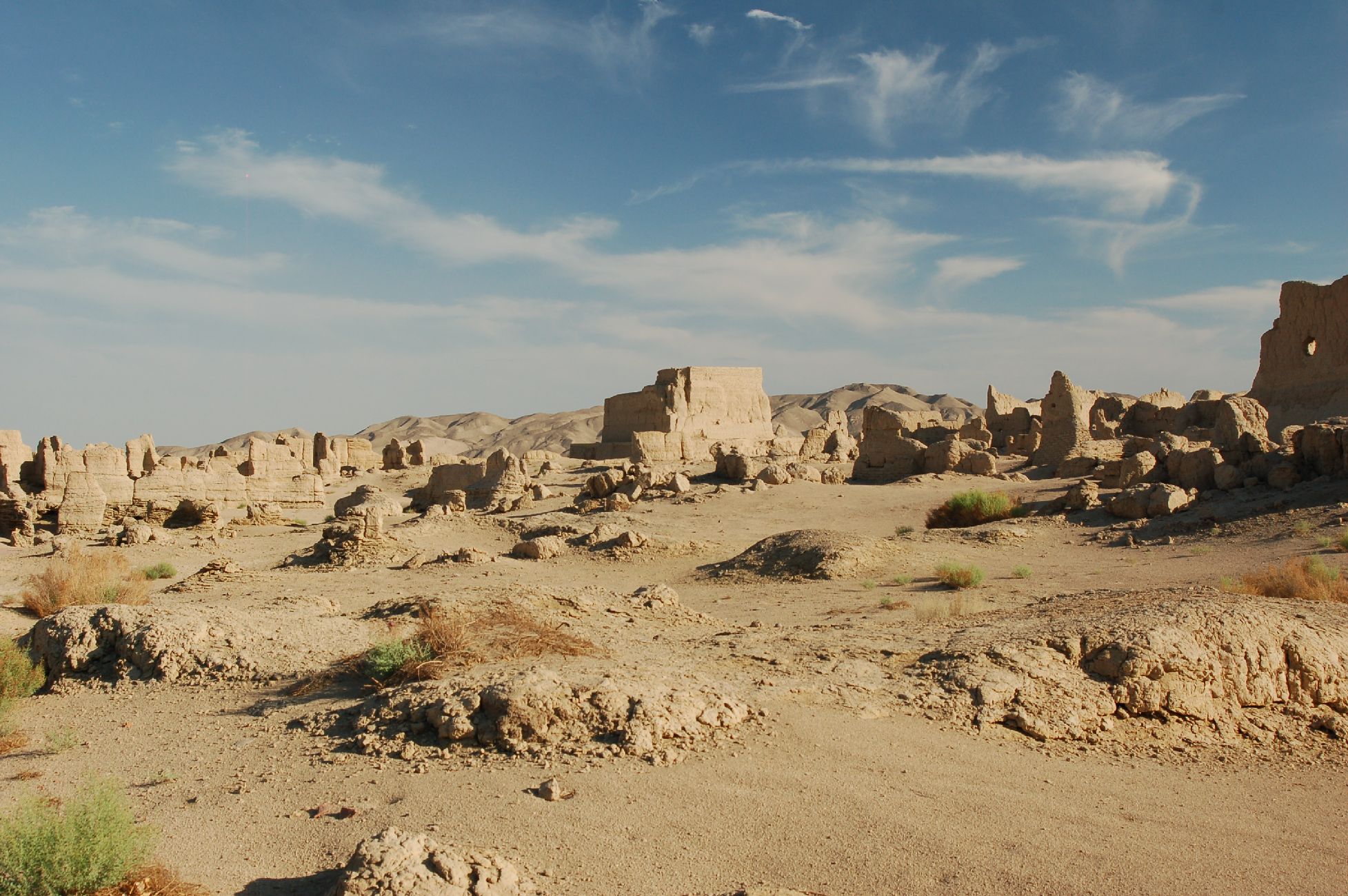
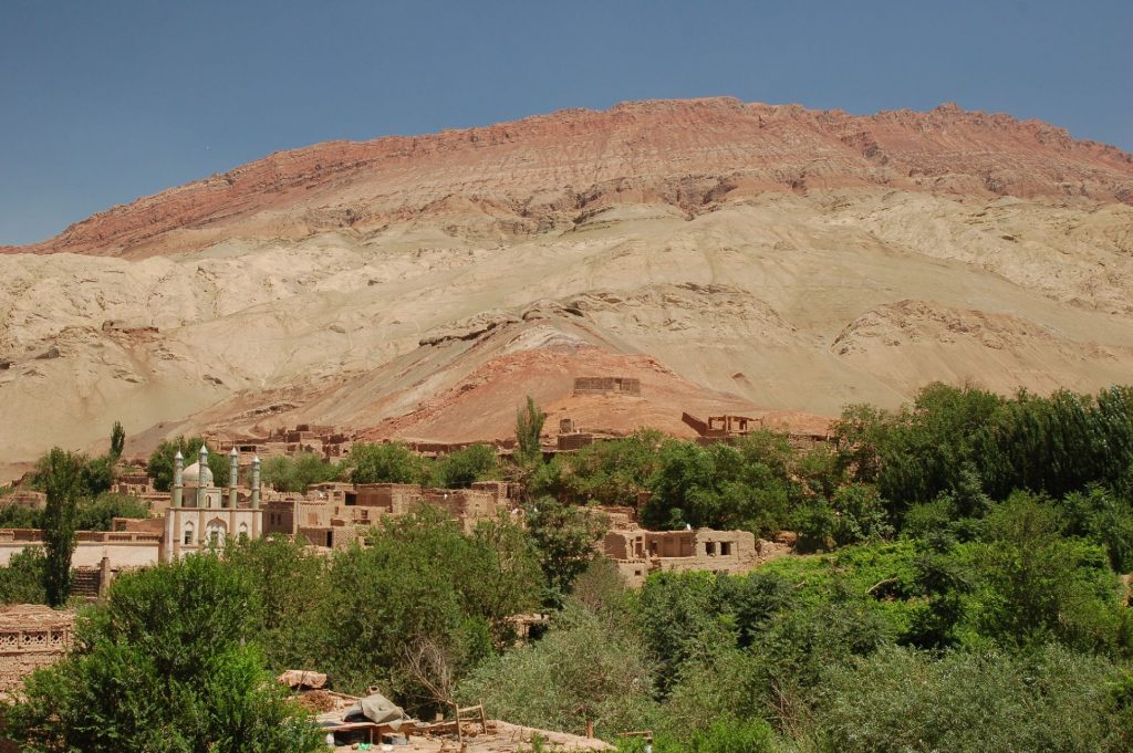
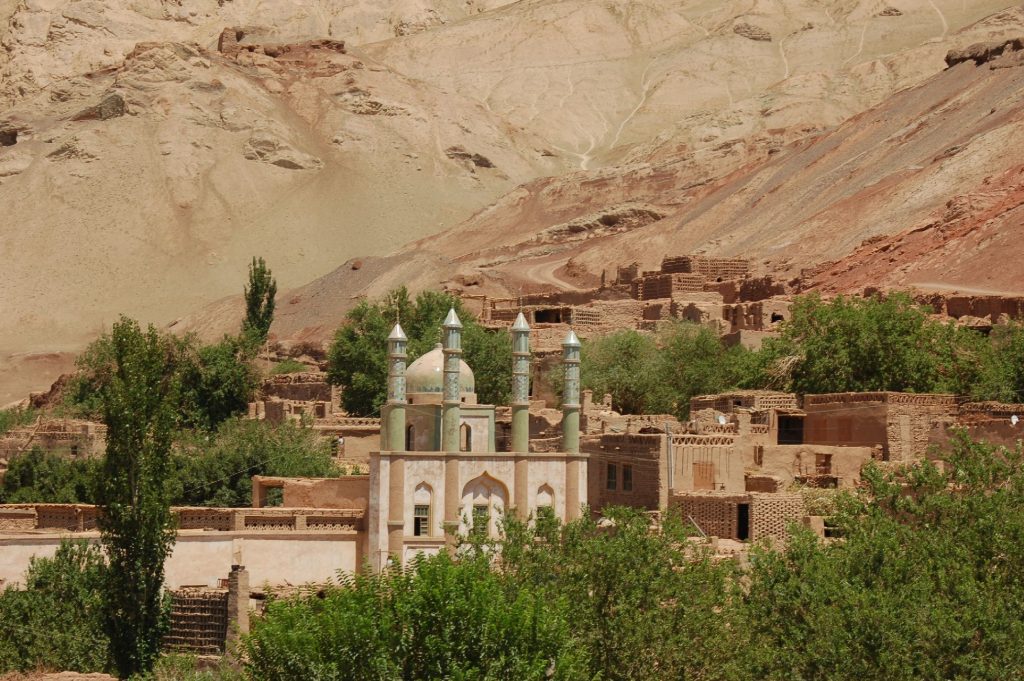
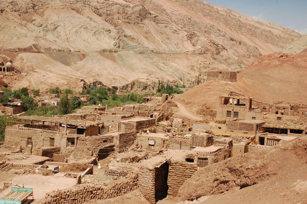
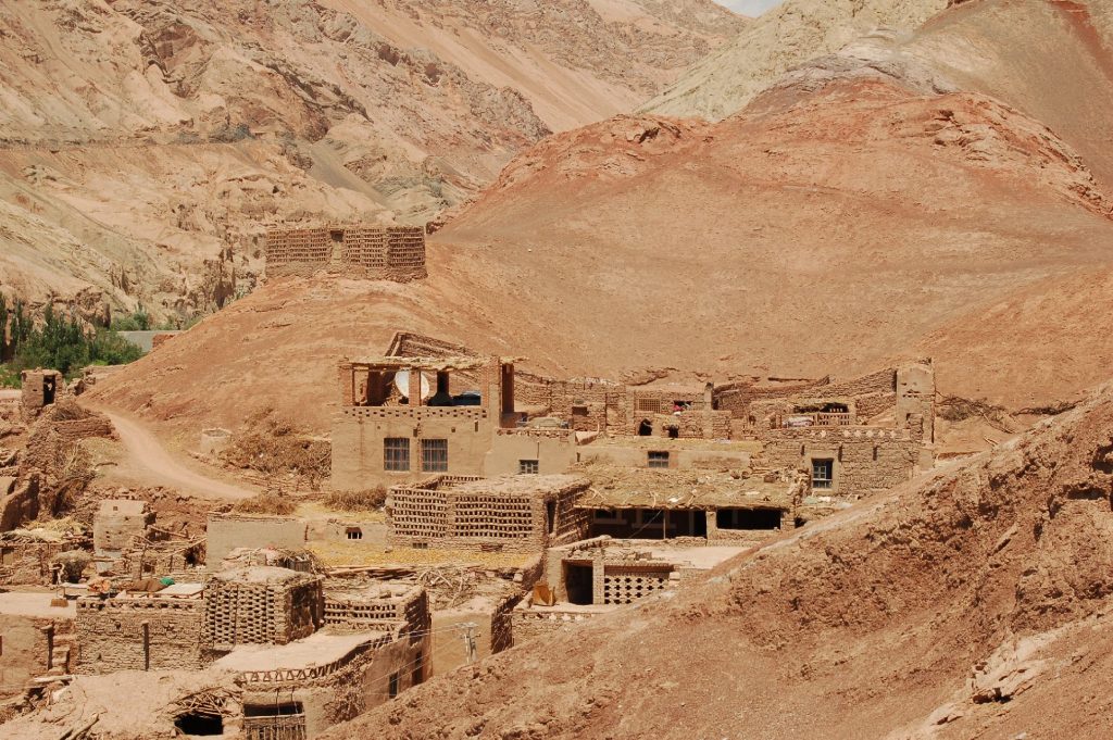
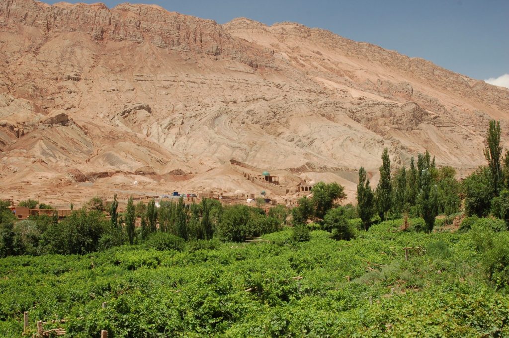
Turpan
One of the hottest and lowest-lying (154m below sea level) places in the world


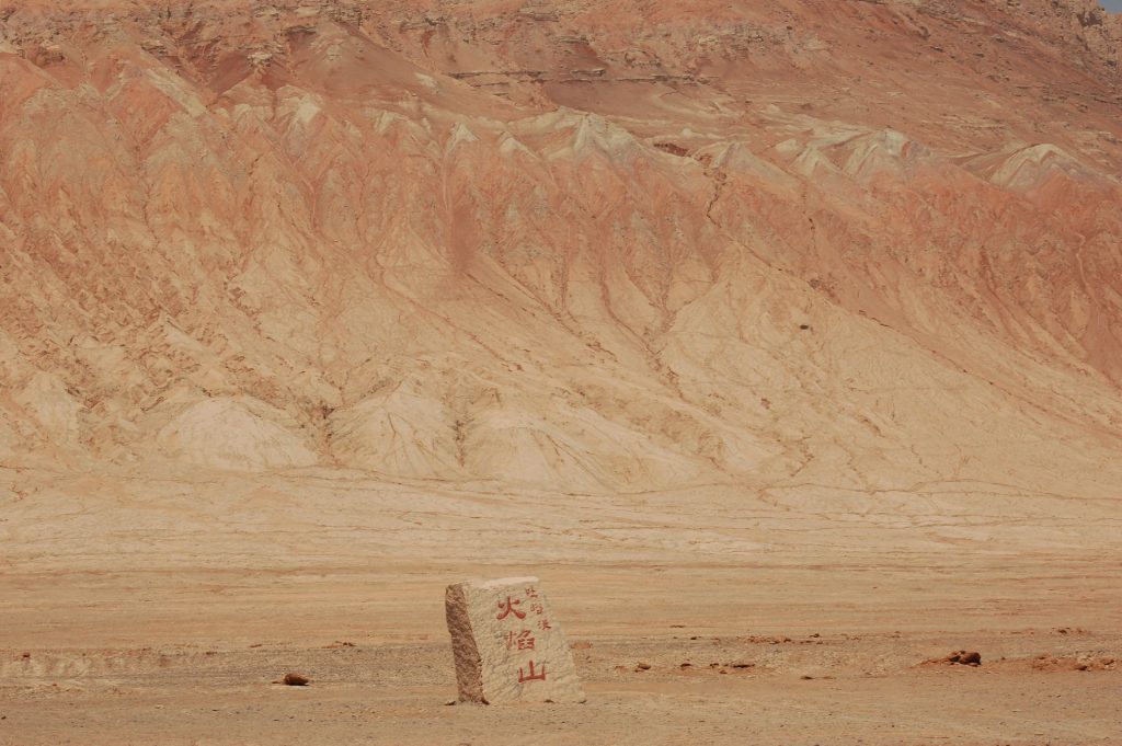
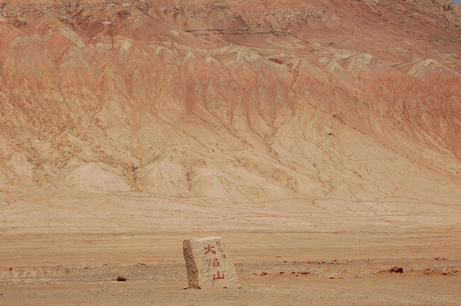
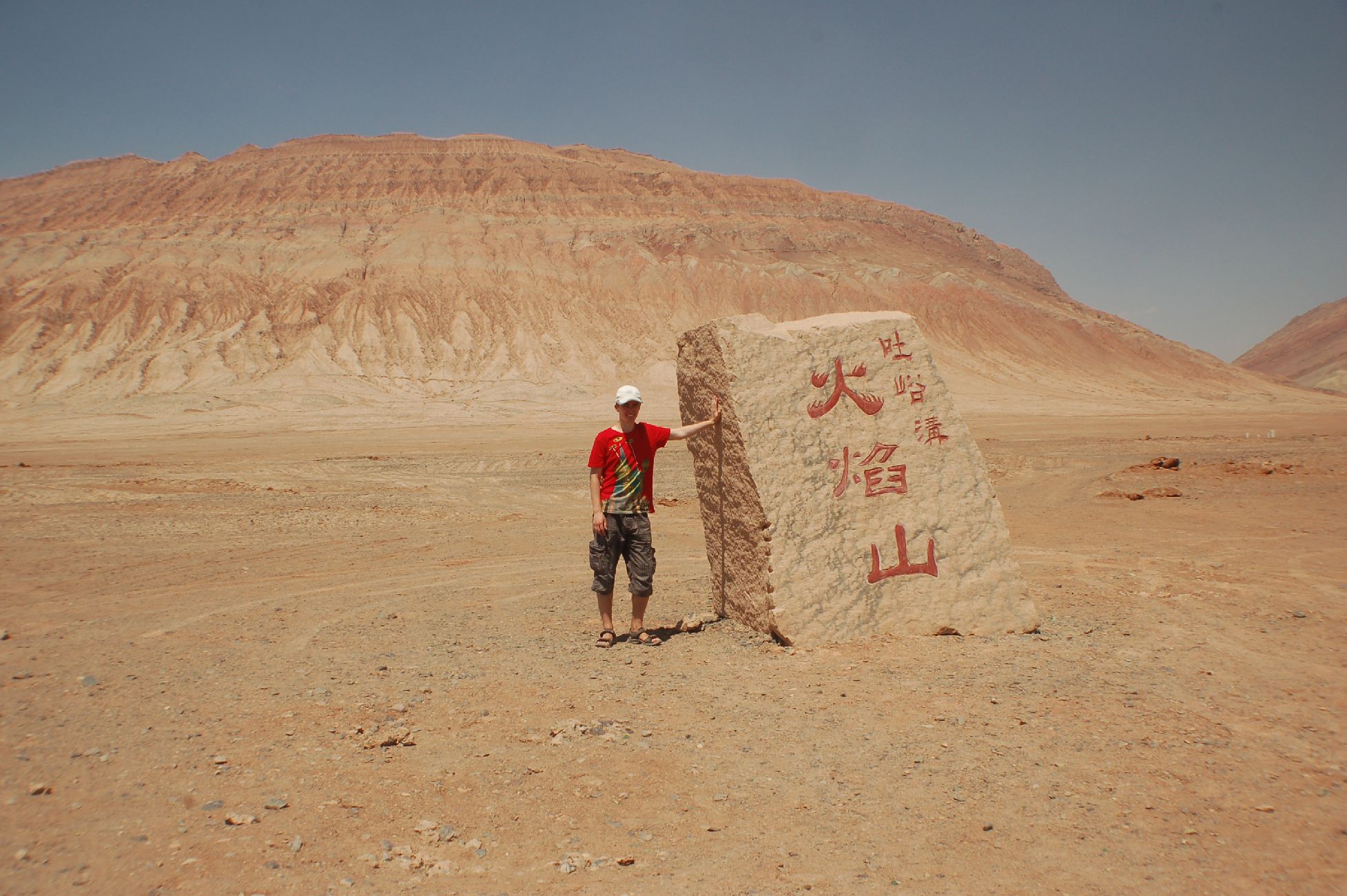
Flaming Mountains